
GIS Resources
- Introduction
- GIS Help
- Open Data Toggle Dropdown
-
Data by Topic
- Agriculture
- Air Quality/Pollution
- Biodiversity
- Boundary files
- Buildings / Structures
- Census
- Climate / Weather
- Conflict
- Crime & Justice
- DEMs
- Disasters
- Energy
- Environmental
- Fires
- Floods
- Geology / Landforms
- Glaciers
- Images
- Indigenous
- Land Cover
- Pipelines
- Polar
- Pollution / Waste
- Real Estate Values
- Satellite Data & Imagery
- Soil
- Solar
- Transportation
- UofC floor plans
- Vegetation
- Water
- Wetlands
- Calgary Toggle Dropdown
- Alberta Toggle Dropdown
- Canada
- International
- GIS Portals
- GIS Data for Instruction
Soil Data
Calgary
-
Open Calgary Habitat shapefile has some soil information
-
Alberta Geological Survey: Surface Geology of the Calgary Urban Area (Moran) PDF and shapefiles. See also this updated PDF.
-
Linear landforms (GIS data, line features)
-
Veneer material (GIS data, polygon overlay features)
-
Geological contacts (GIS data, line features)
-
Surface materials of the Calgary urban area (GIS data, polygon features)
-
-
Alberta Agriculture Bulletin no 39: Soil Survey of Blackfoot and Calgary sheets report and maps jpg format
-
Alberta Geological Survey: Soil Survey of the Calgary Urban Perimeter (MacMillan): pdf
Alberta
-
Alberta Soil Information Viewer
-
allows viewing and querying of soils information within the agricultural regions of Alberta
-
-
Alberta Soil Information Centre
-
provides digital files, published maps, and reports for soil information
-
-
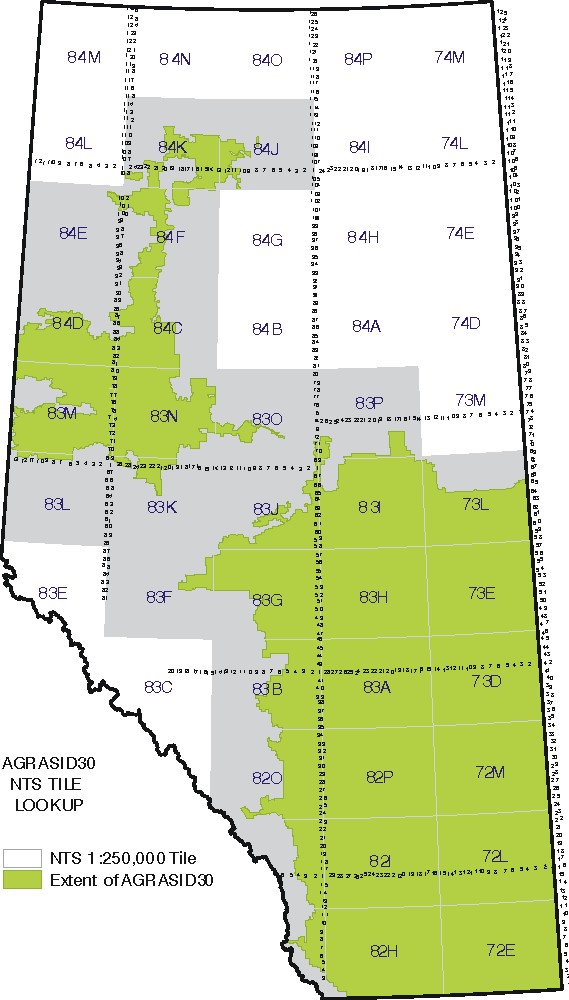
AGRASID Agricultural Region of Alberta Soil Inventory Database
-
Soil Erosion Risk - Displays an assessment of soil erosion risk for the agricultural areas of Alberta
-
Current and Historical Alberta Weather Station Data viewer
-
includes soil moisture and temperature under Elements tab
-
British Columbia
-
Agriculture Capability Mapping Canada Land Inventory
Canada
-
Canada Land Inventory Land Capability for Agriculture
-
1:50,000 download documents and data
-
1:250,000 download documents and data
-
-
CANSIS Canadian Soil Information System includes the National Soil Database, maps, reports, interpretations and other publications
-
Soil Landscapes of Canada a series of GIS files showing the major characteristics of soil and land across Canada
-
ESRI ArcCanada3 soil layer, Canadian Provinces and Territories (partial) download
International
-
Soil Geographic Databases from ISRIC — World Soil information
- Last Updated: Nov 3, 2025 2:22 PM
- URL: https://libguides.ucalgary.ca/guides/gis
- Print Page