
Digital Historical Maps
Topographic

See table below image for holdings and download links

| Bearspaw | Beddington Creek | Beddington | McDonald Lake | Delacour | ||||||
| 1961 | 1967 | 1961 | 1967 | 1967 | 1961 | 1967 | 1967 | |||
| Springbank | Bowness | Calgary | Forest Lawn | Chestermere Lake | ||||||
| 1961 | 1969 | 1957 | 1961 | 1969 | 1960 | 1969 | 1960 | 1968 | 1961 | 1967 |
| Priddis | Sarcee Villages | Midnapore | Shepard | Indus | ||||||
| 1961 | 1969 | 1960 | 1969 | 1969 | 1960 | 1967 | ||||
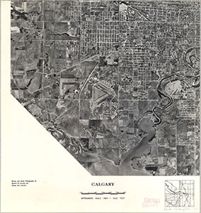
See table below image for holdings and download links (jpg format)

| 82O/1 (Calgary) | 82P/4 (Dalroy) | ||
| 1951 East - Full Record | 1953 West - Full Record | 1953 East - Full Record | |
| 1962 West - Full Record | 1962 East - Full Record | ||
| 82J/16 (Priddis) | 82I/13 (Dalemead) | ||
| 1951 West - Full Record | 1951 East - Full Record | 1954 West - Full Record | 1954 East - Full Record |
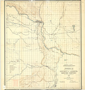
See table below image for holdings and download links
| 82 O/1 | 82 P/4 | |
| 1931 Full Record | 1927 Full Record | 1940 Full Record |
| 82 J/16 | 82 I/13 | |
| 1940 Full Record | 1931 Full Record | 1941 Full Record |
1:2000 Scale City of Calgary Topographic Maps 1960s to 1980s
(Copyright: City of Calgary)
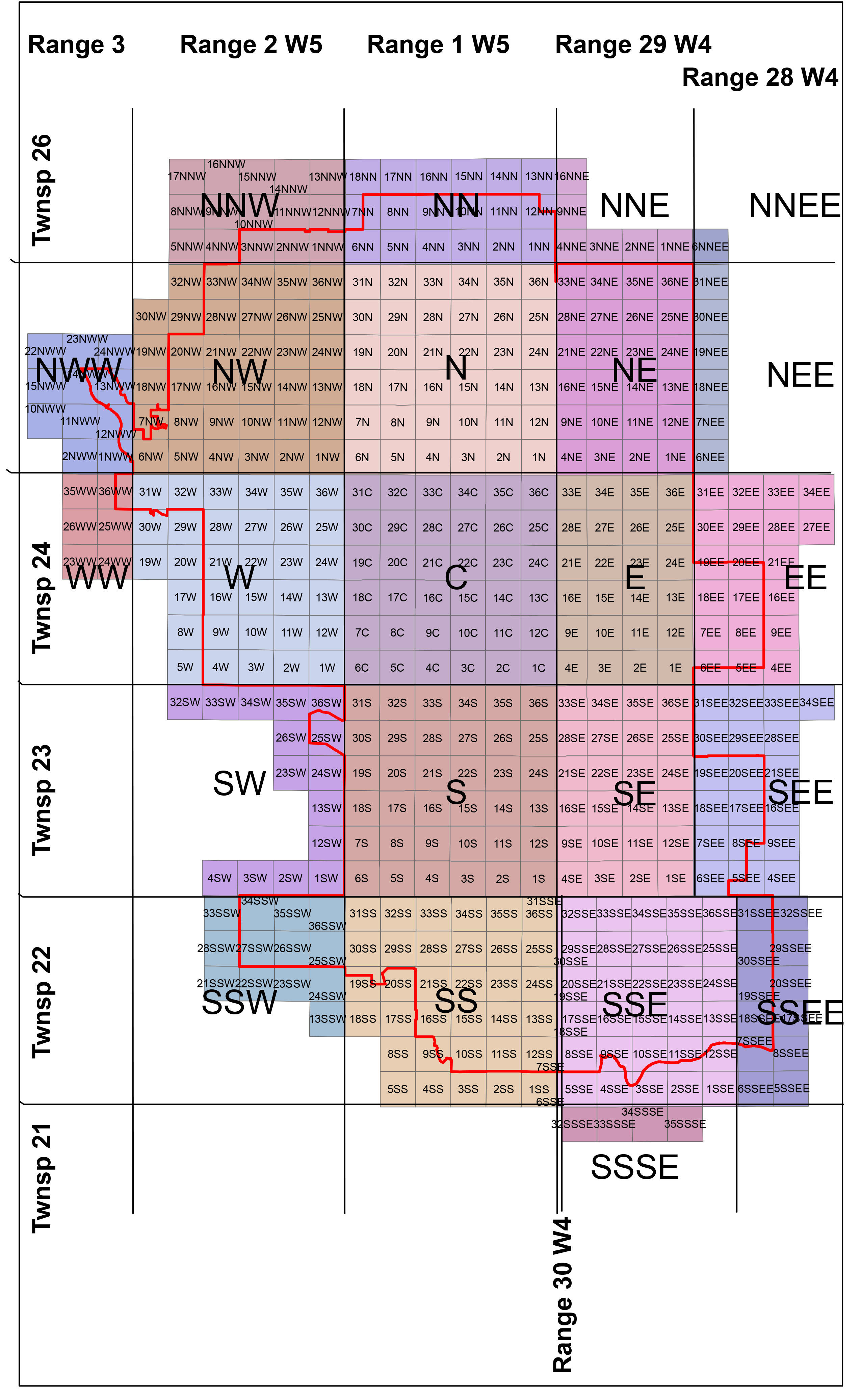
The grid cell labels in the map are identifiers for the corresponding map files. Example: The filename corresponding to the 1978 map for section 22, township 25, range 2, west of the 5th meridian is yyc_nw_22_1978.jpg. Some sections have multiple maps from different years and a few maps do not have dates (yyc_e_2_nd.jpg). Not all grid cells have a corresponding map from this period.
The City of Calgary's ATS Township Sections map can be used to determine the required section(s) and their matching grid cell label(s). Zoom into your area of interest and click on the cell(s) covering that area to see their attributes. Inverting the planning no. gives the grid cell label (22NW → NW22) needed to identify the correct file.
**Try our new Calgary Topographic Maps web map app to search and access these maps**
Official Plans & Street Maps


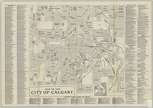


**Try our new Township Plans web map app to locate and access these map.**
See table below image download links

| Grid ref | Range 2 | Range 1 | Range 29 | Range 28 |
| Township 25 |
T25R2W5 |
T25R1W5 |
T25R29W4 |
no scan |
| Township 24 |
T24R2W5 |
T24R1W5 |
T24R29W4 |
T24R28W4 |
| Township 23 |
T23R2W5 |
T23R29W4 |
T23R28W4 |
|
| Township 22 |
T22R2W5 |
T22R1W5 |
T22R29W4 |
T22R28W4 |
Historic, Conceptual


Miscellaneous


 |
 |
| Sheet 1 - Full Record | Sheet 2 - Full Record |
 |
 |
| Sheet 3 - Full Record | Sheet 4 - Full Record |

