Skip to Main Content

Air Photo Search Guide

SANDS Digitized Air Photo Collections and Applications

There are two main digital collections for SANDS air photos, the Alberta Air Photos Digital Collection and the MachAir Oblique Air Photos of Calgary 1970s collection. Renna Truong at SANDS has created two applications to make discovering the photos in these collections easier. Learn more about the collections below and check out the applications for each. Directions for how to use the apps will appear on the landing screen for each.

Air Photos in UCalgary Digital Collections

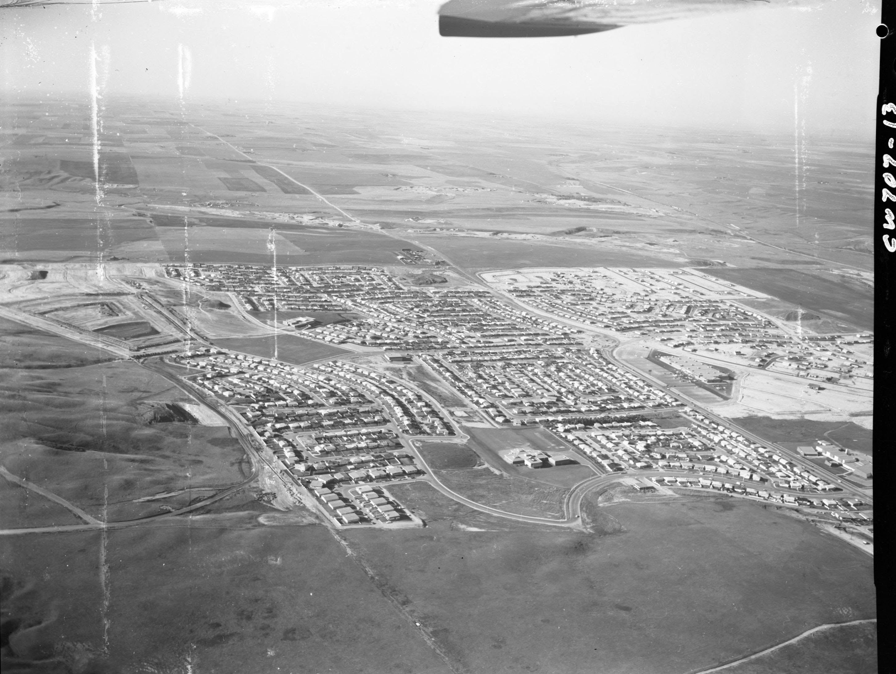
Alberta Air Photos Collection 1922-1956 consists of about 32,000 copyright-cleared images from the University of Calgary Library's collection of about one million air photos. For each air photo image in this collection, there is an associated descriptive record, which provides the photo number, year, scale, possible geographic locators, and other information. You can browse our digitized air photos in our UCalgary Digital Collections. Air photos are organized by flight line and include an index. You can also use the Air Photo Digital Collection - Alberta application to browse part of this collection. Select the photo centre to view the photo in our digital collections.

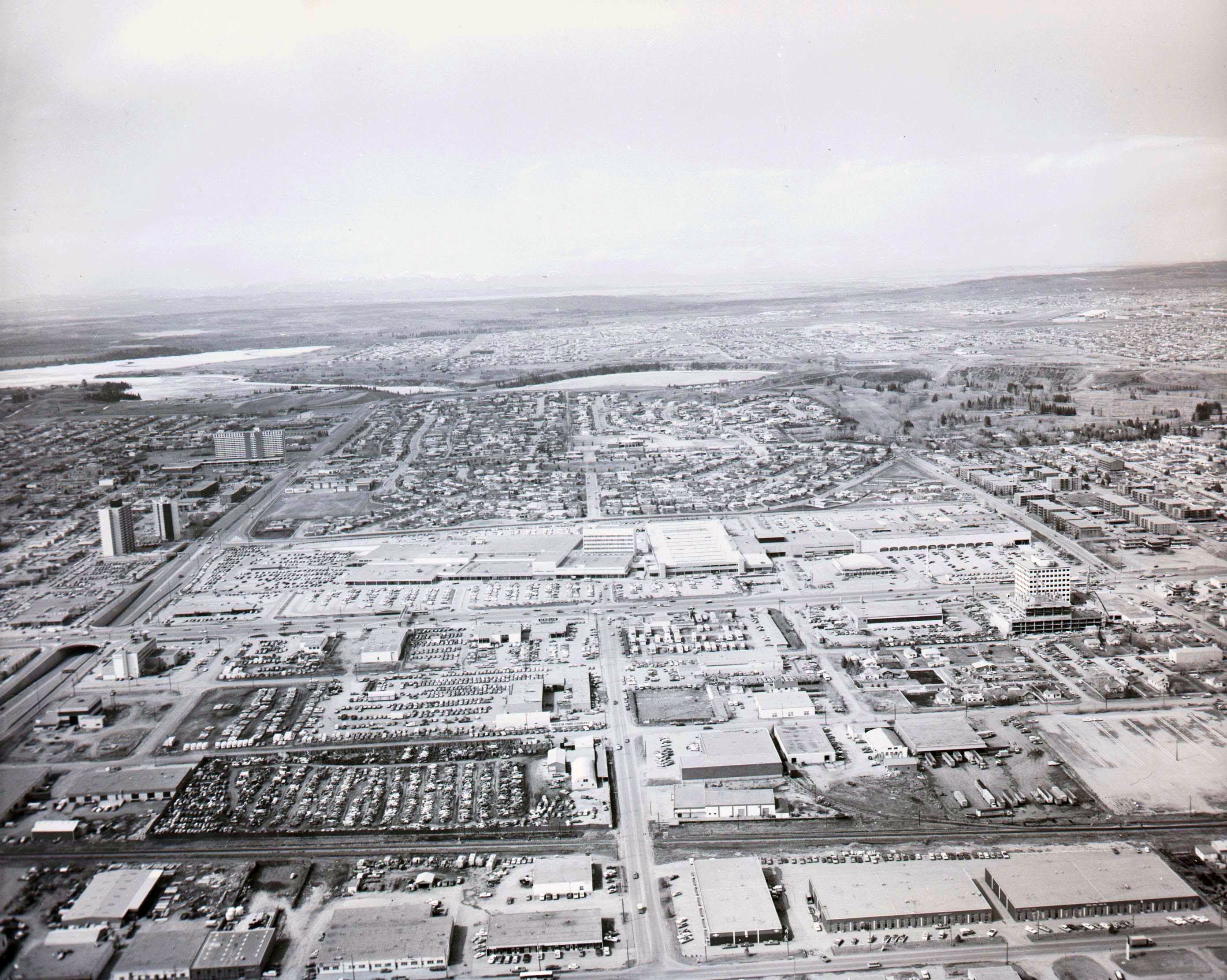
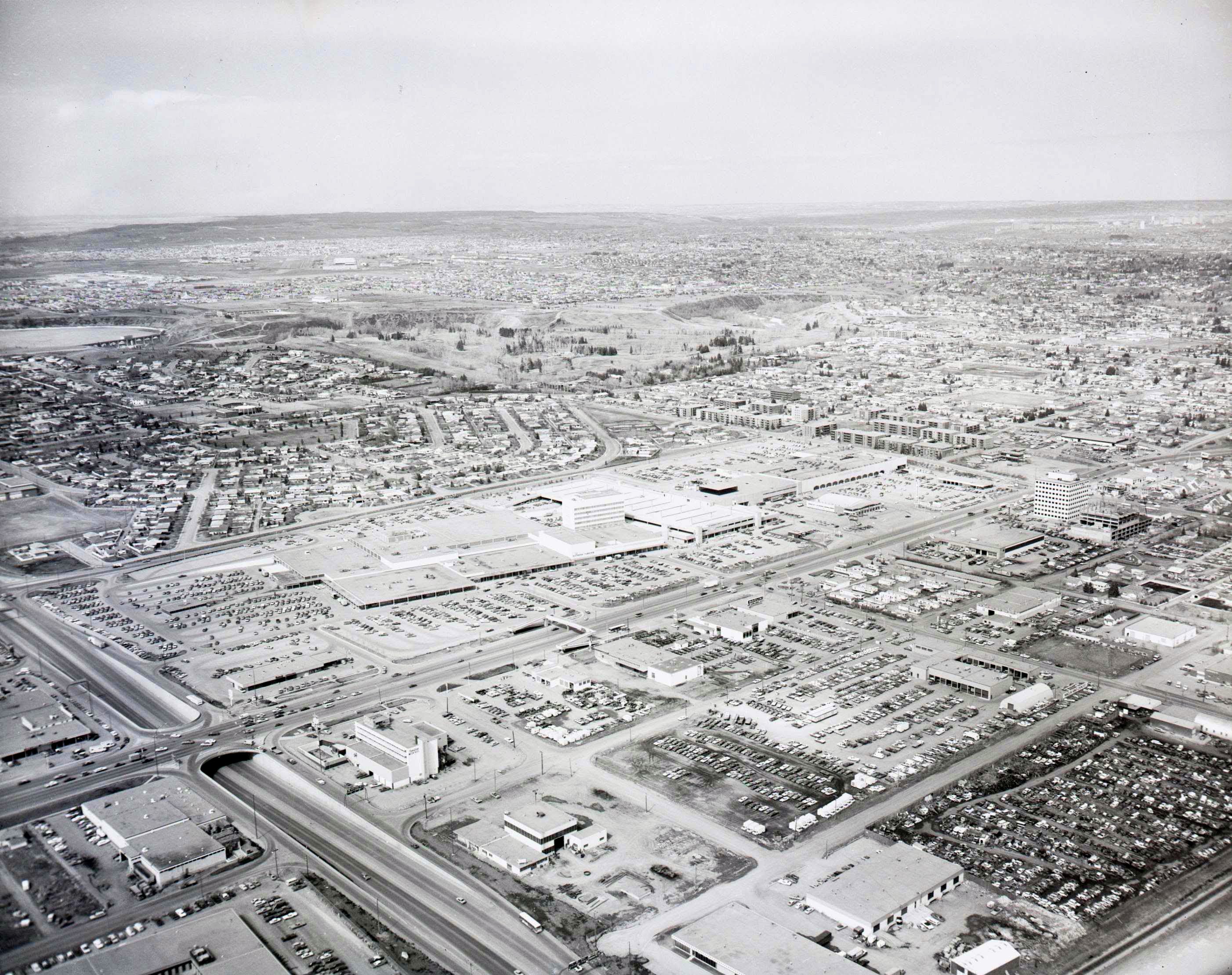
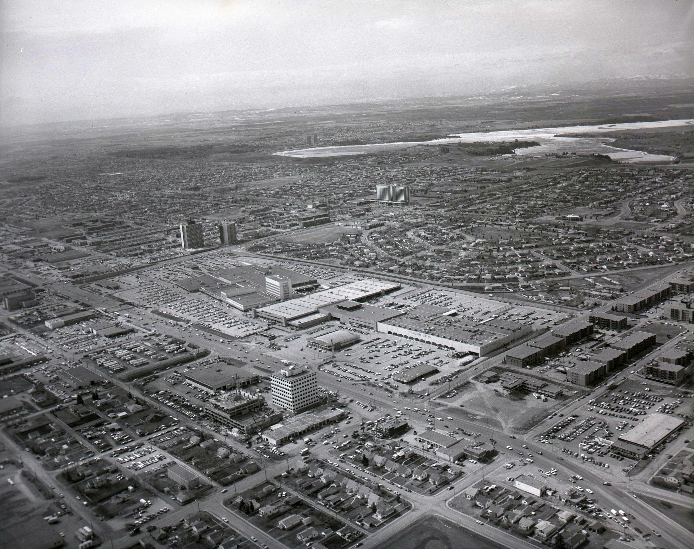
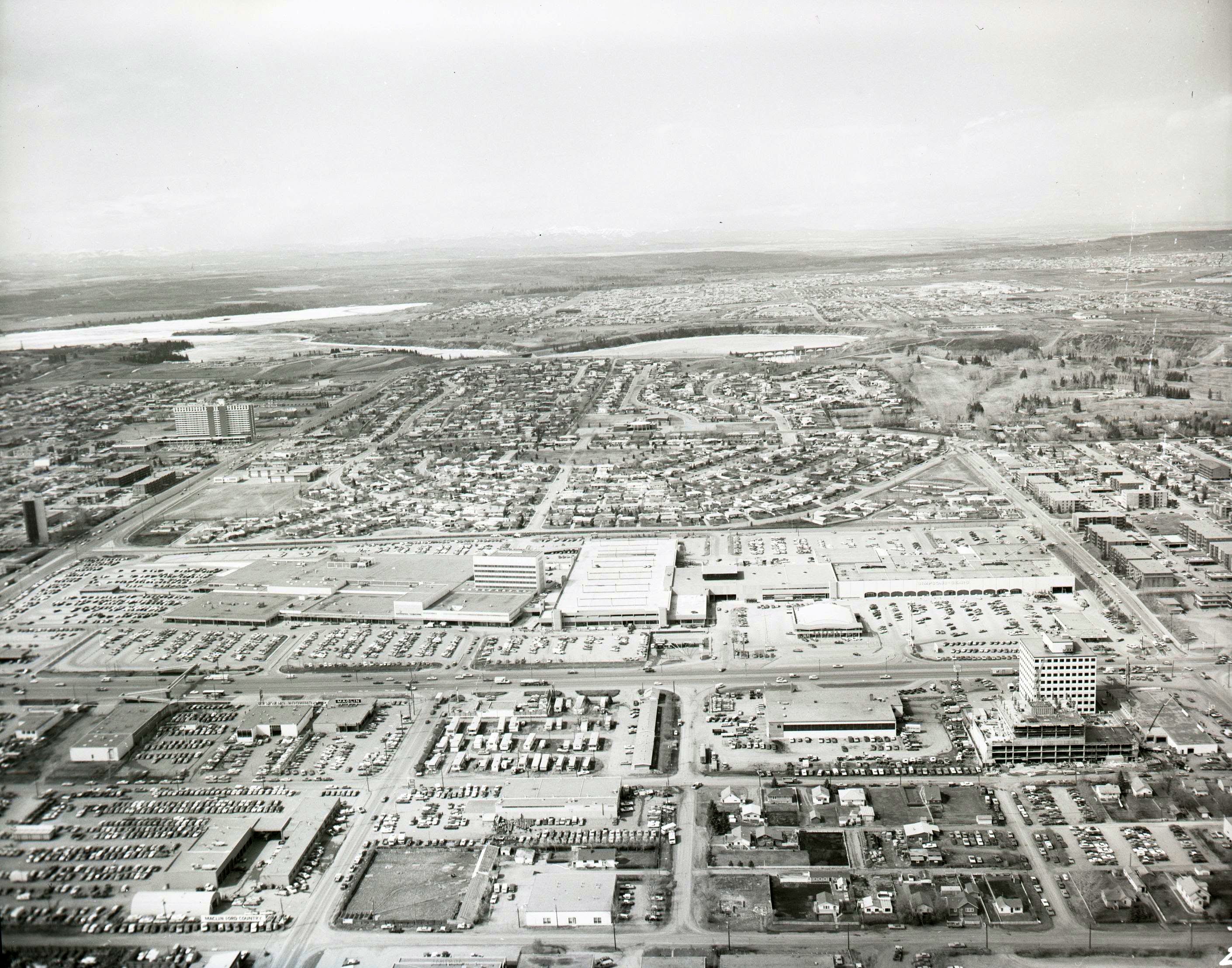
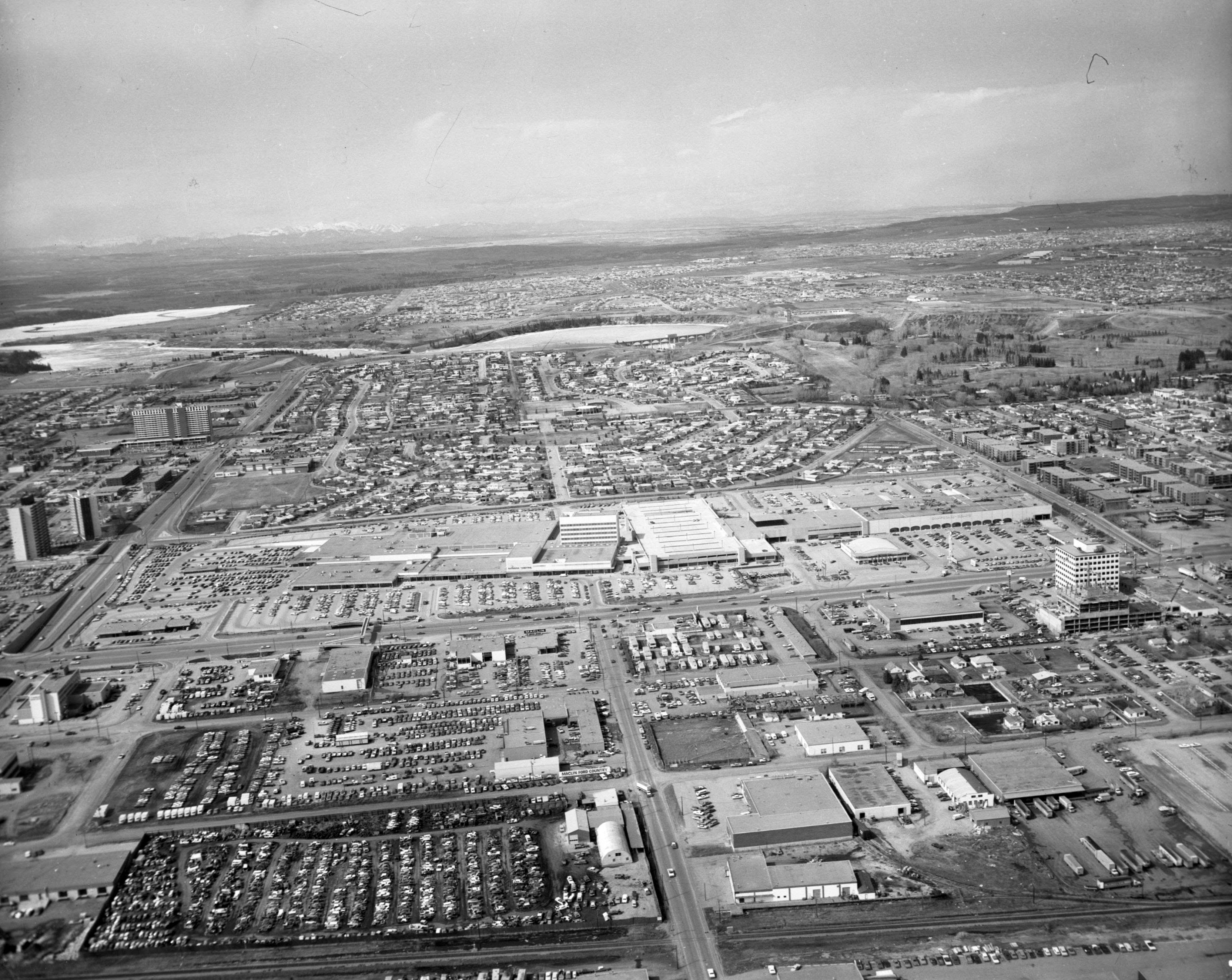
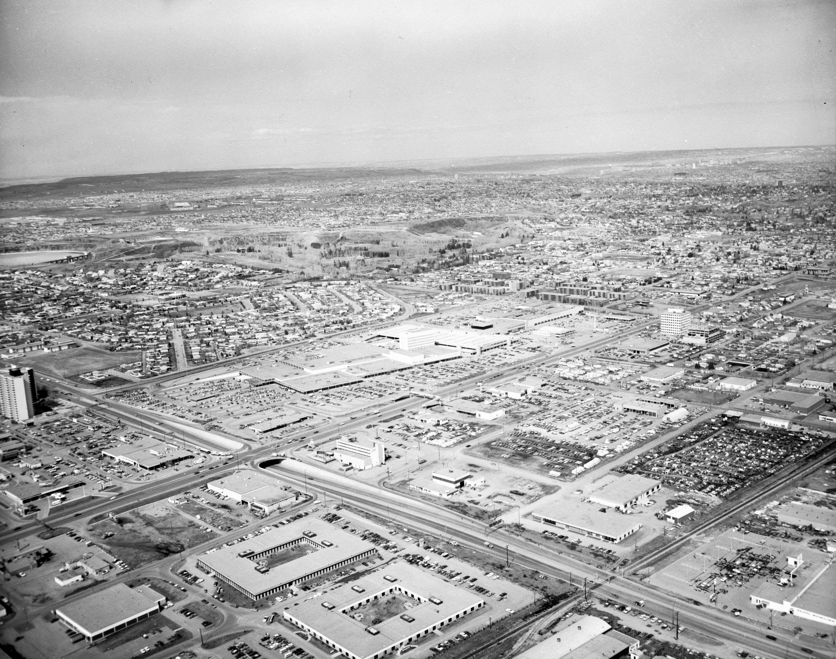
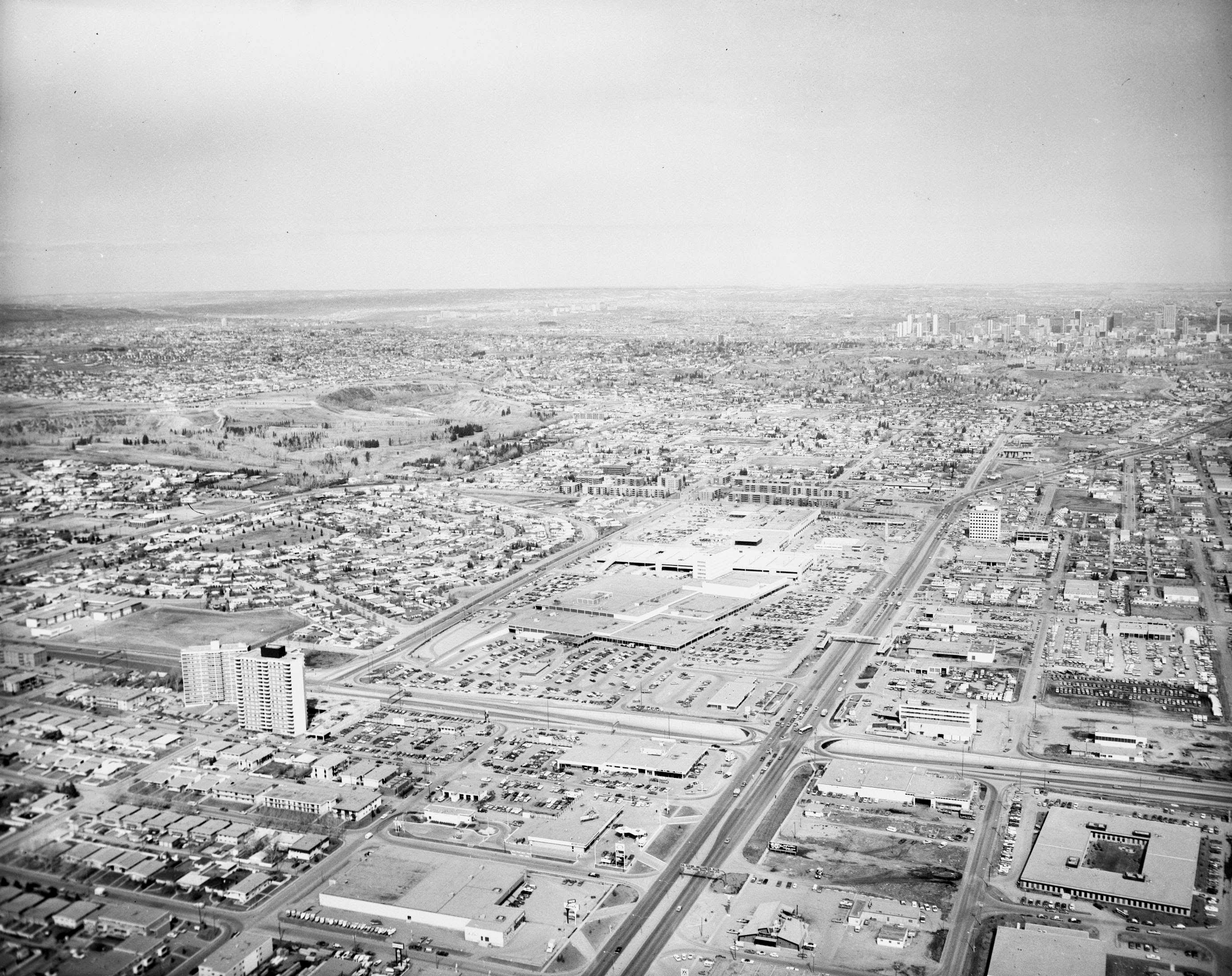
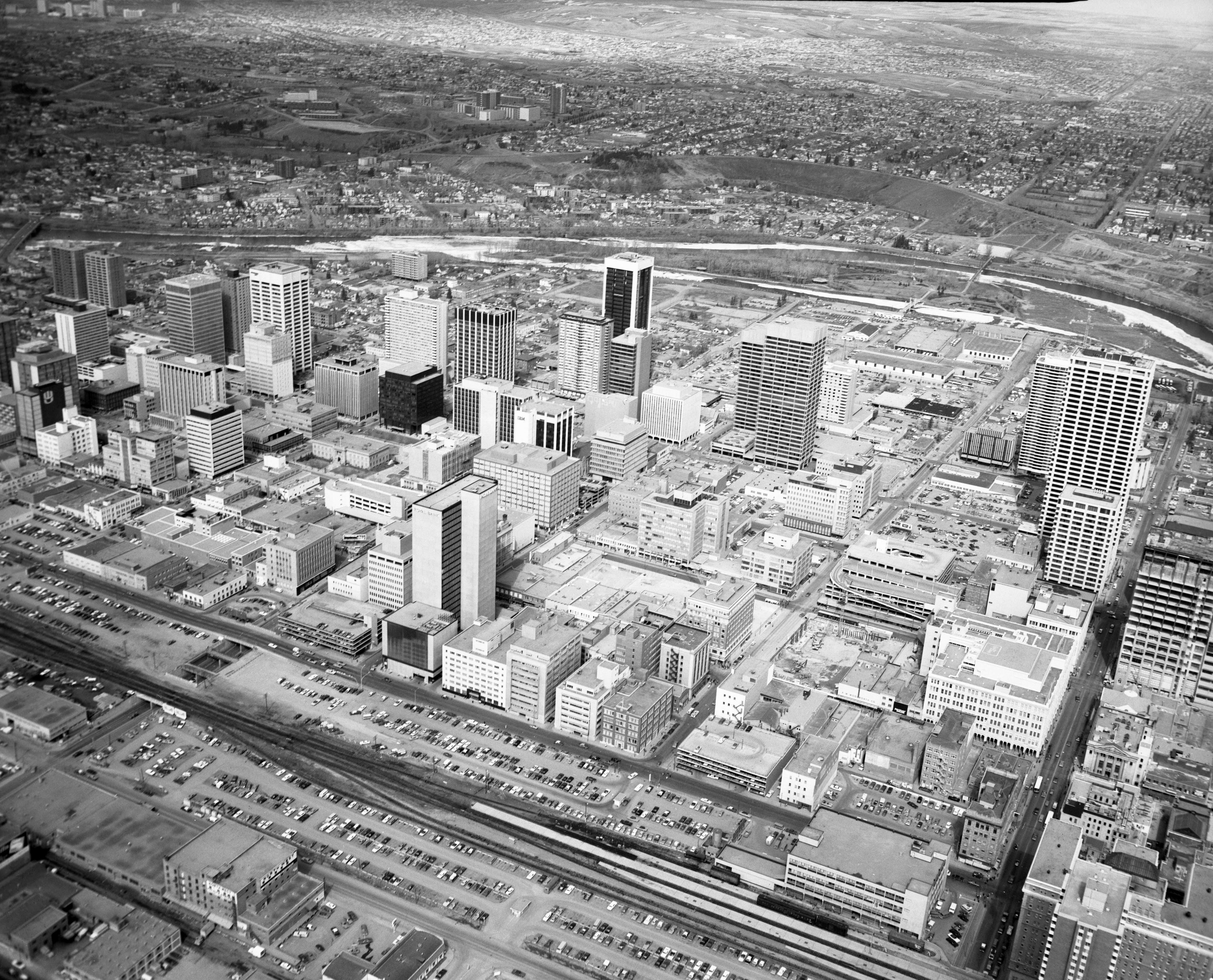
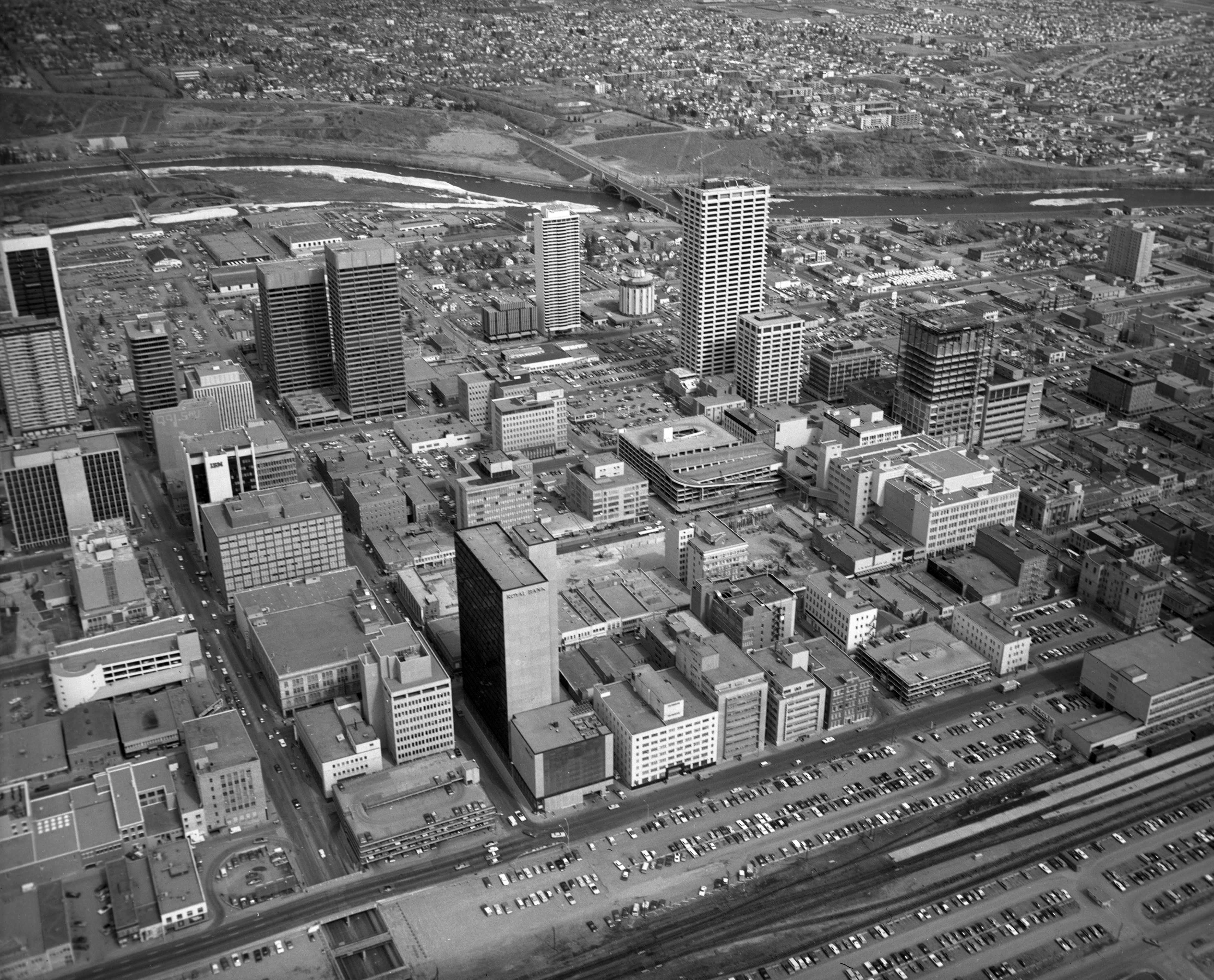
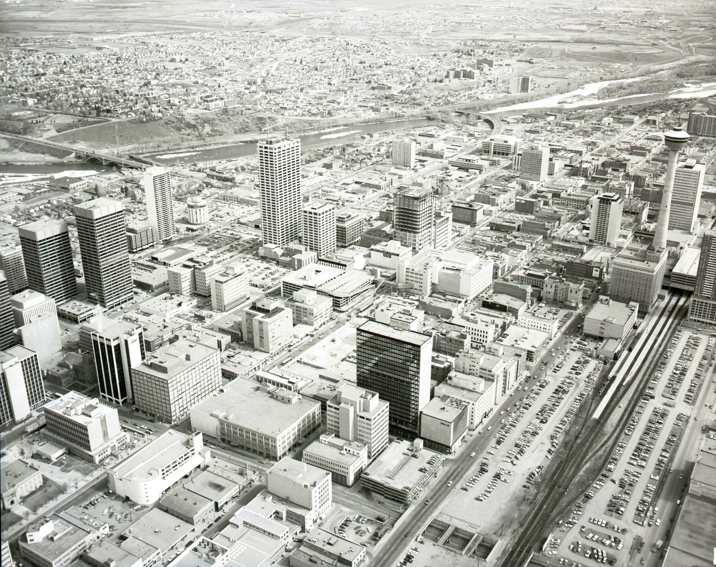
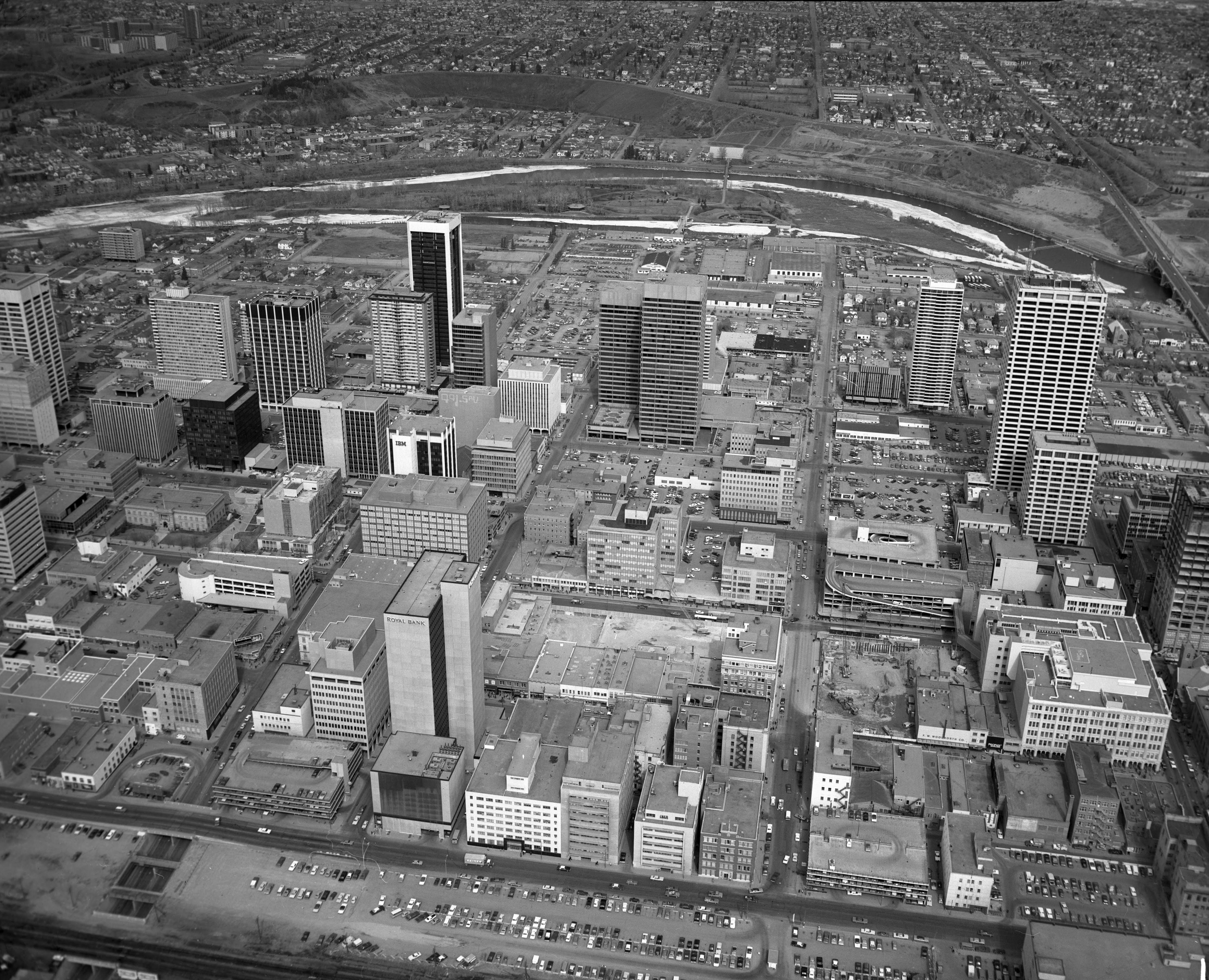
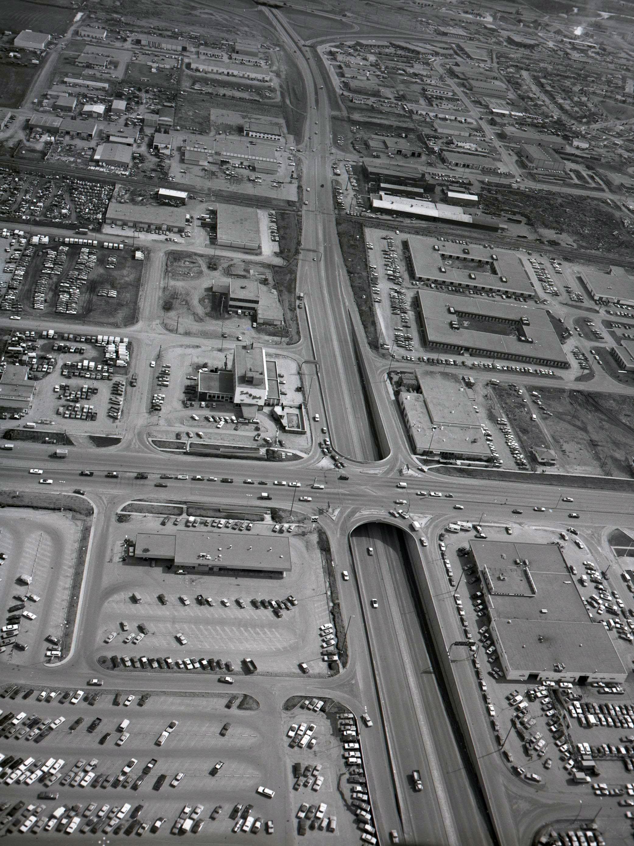
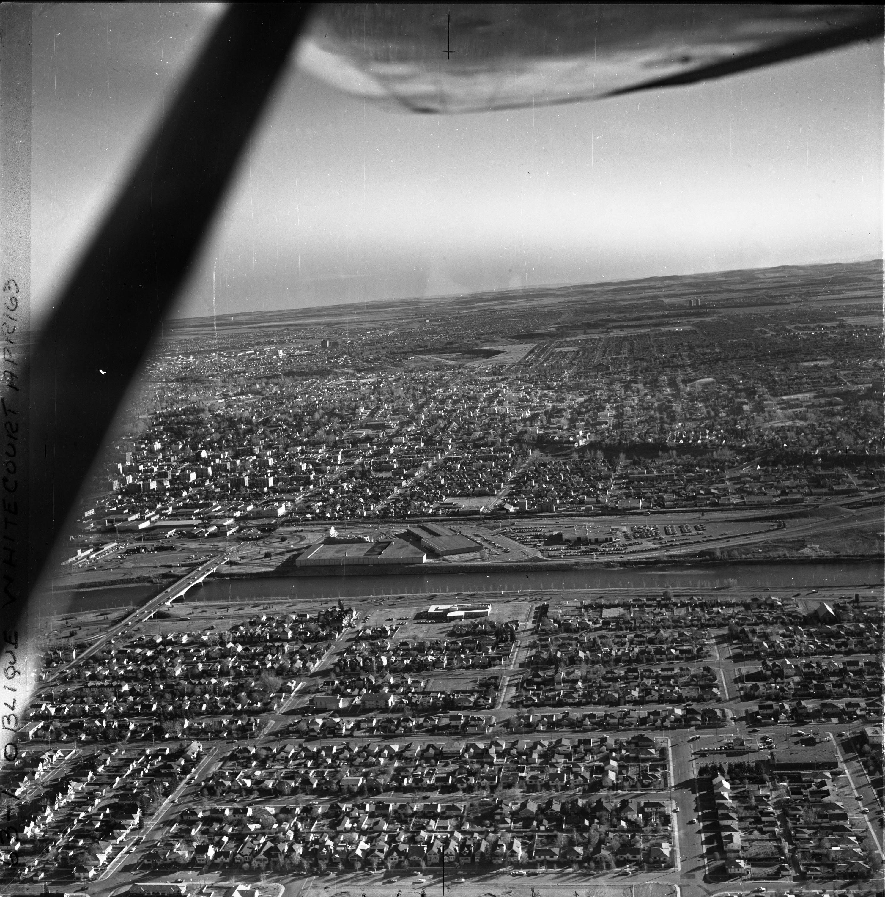
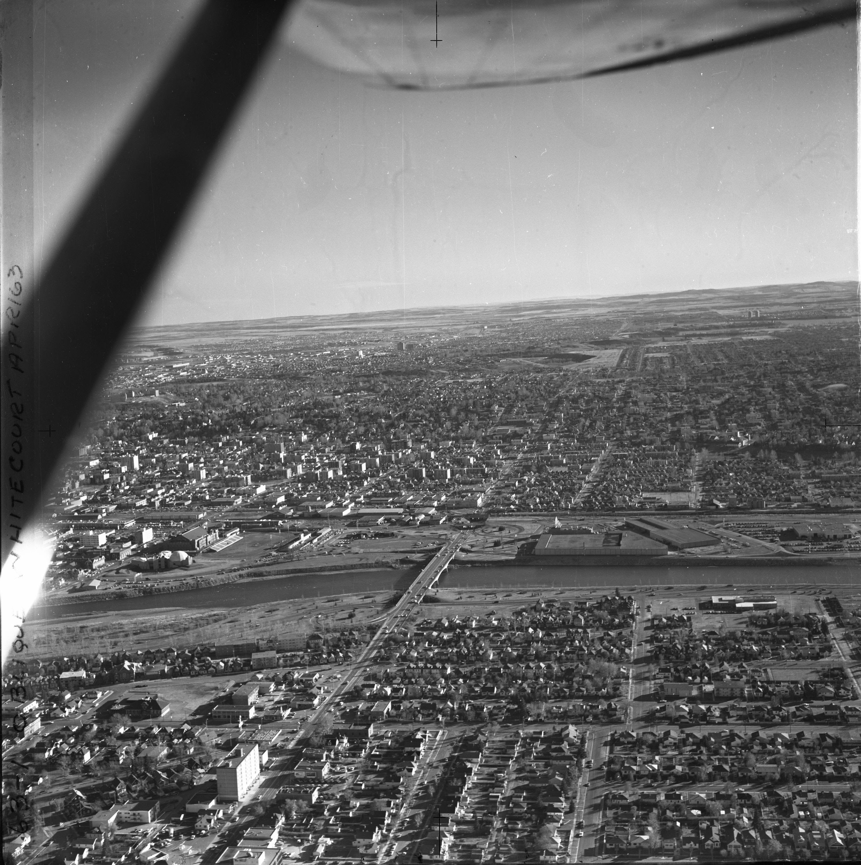
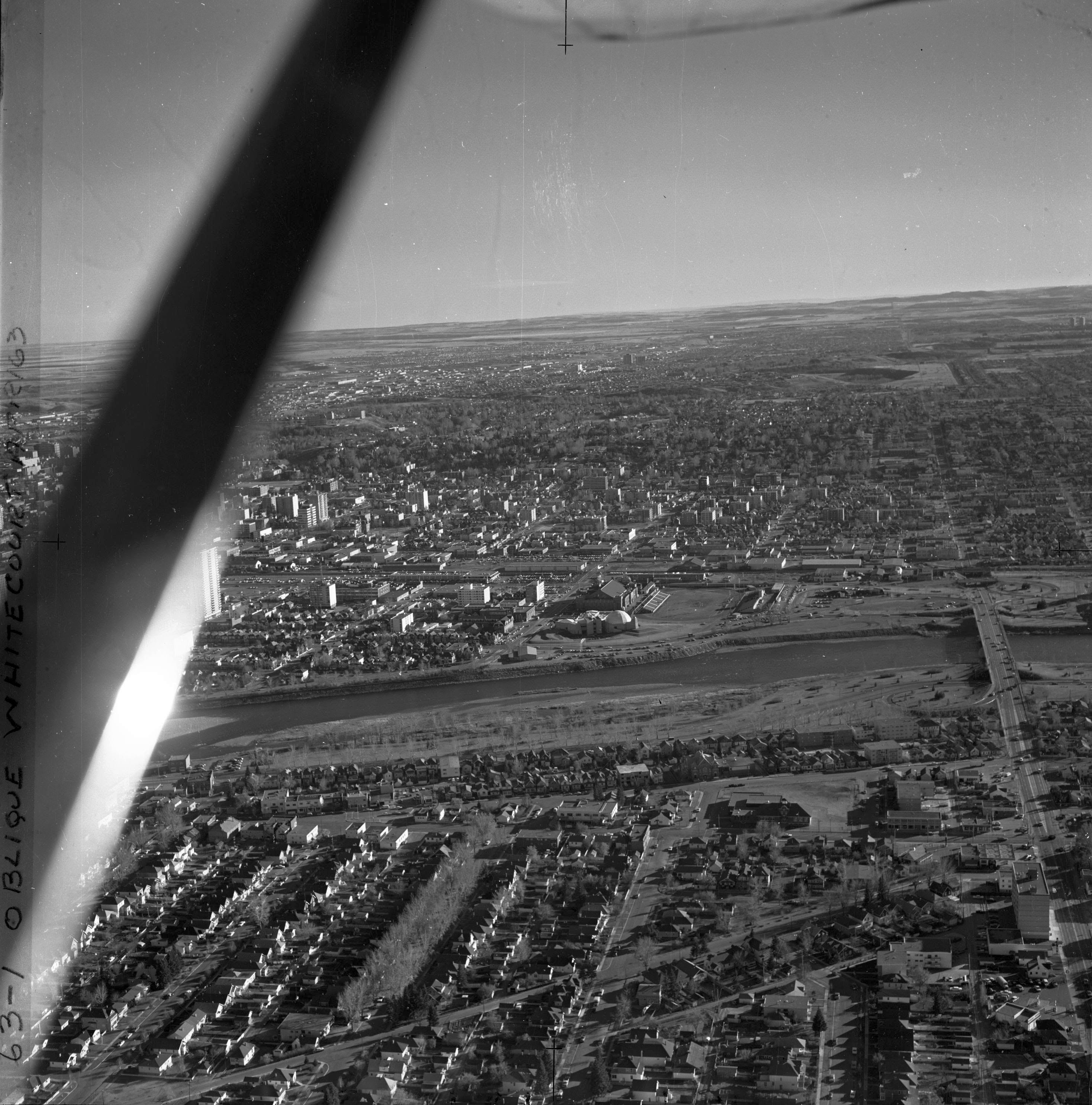
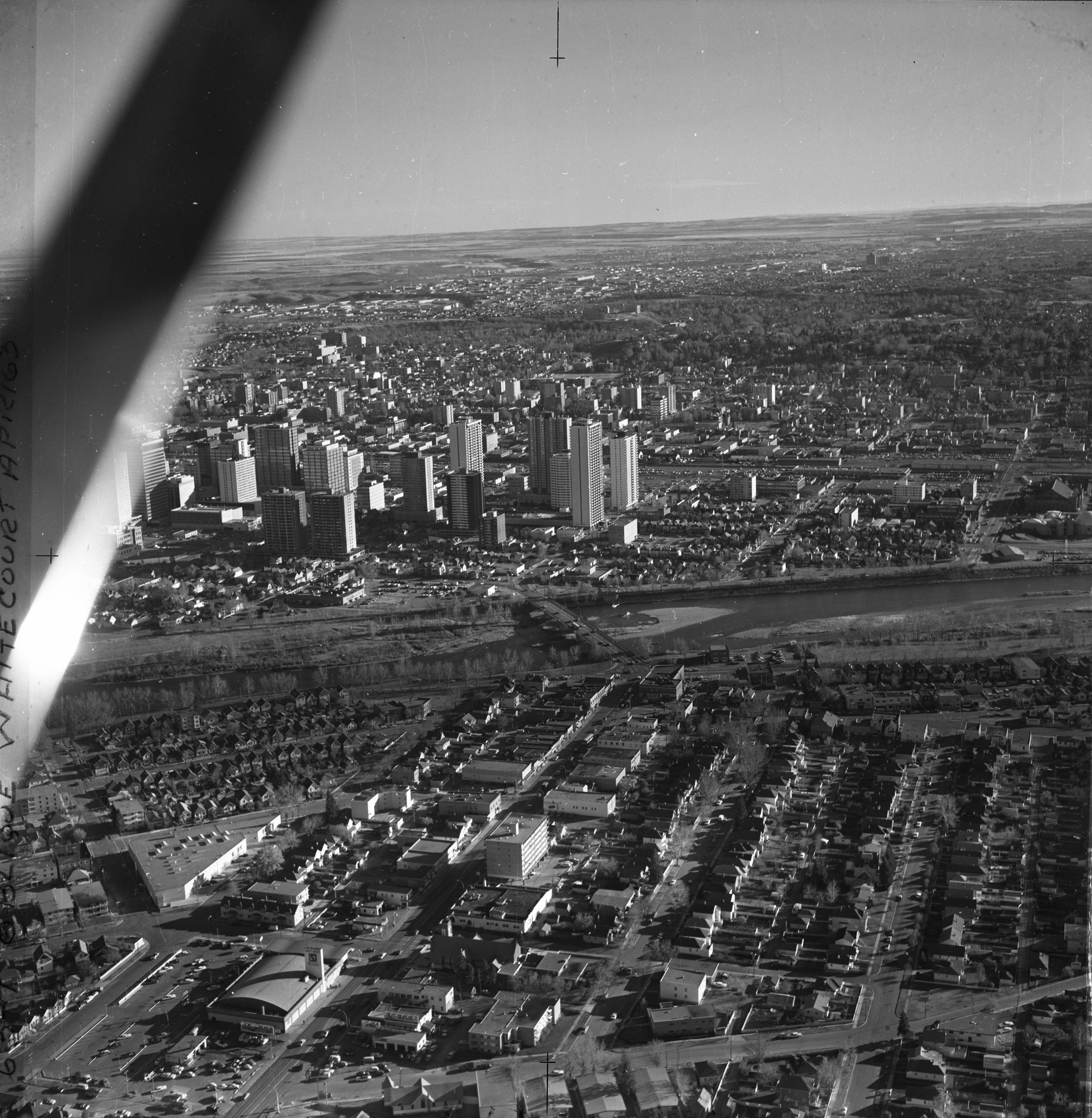
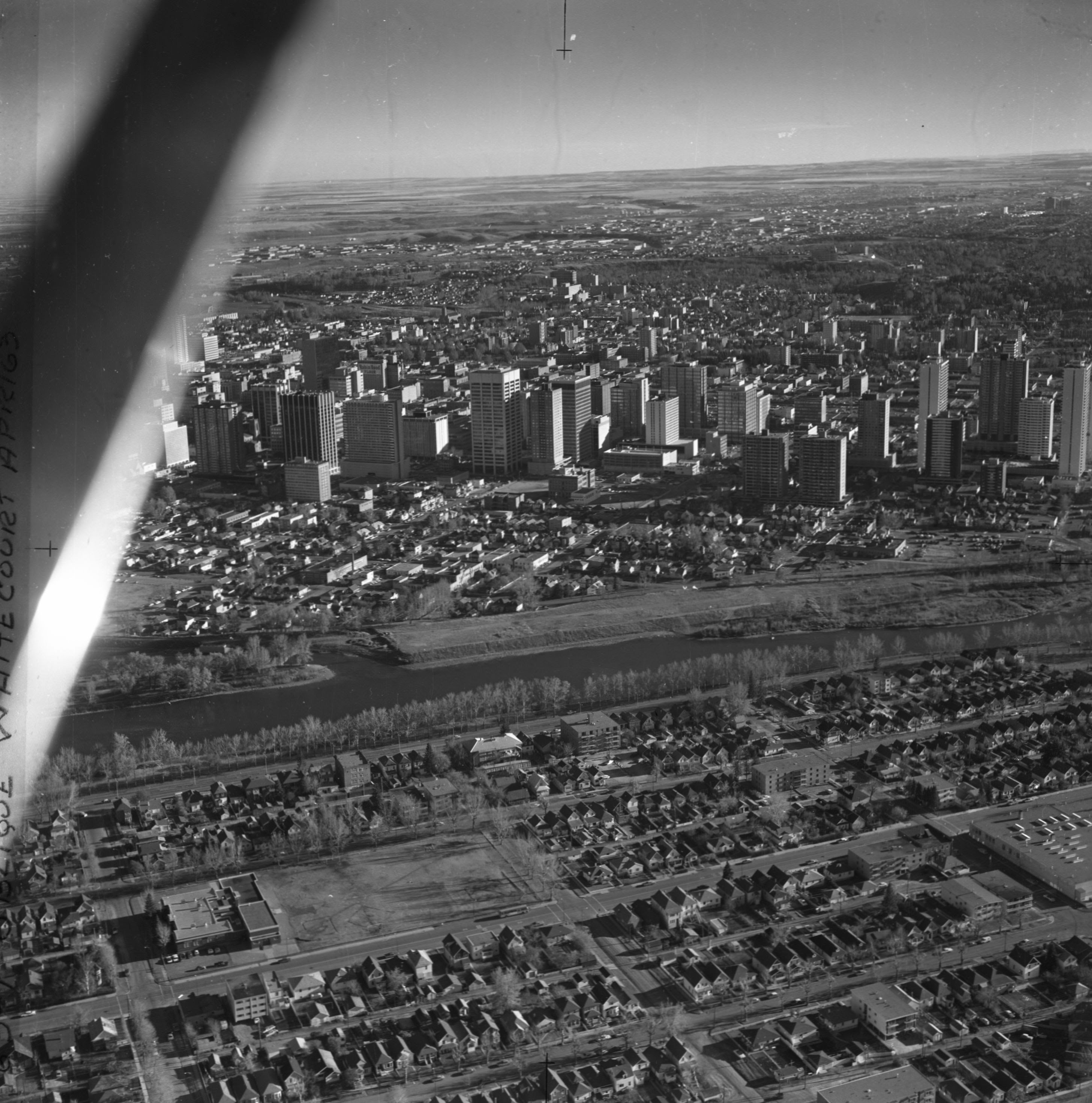
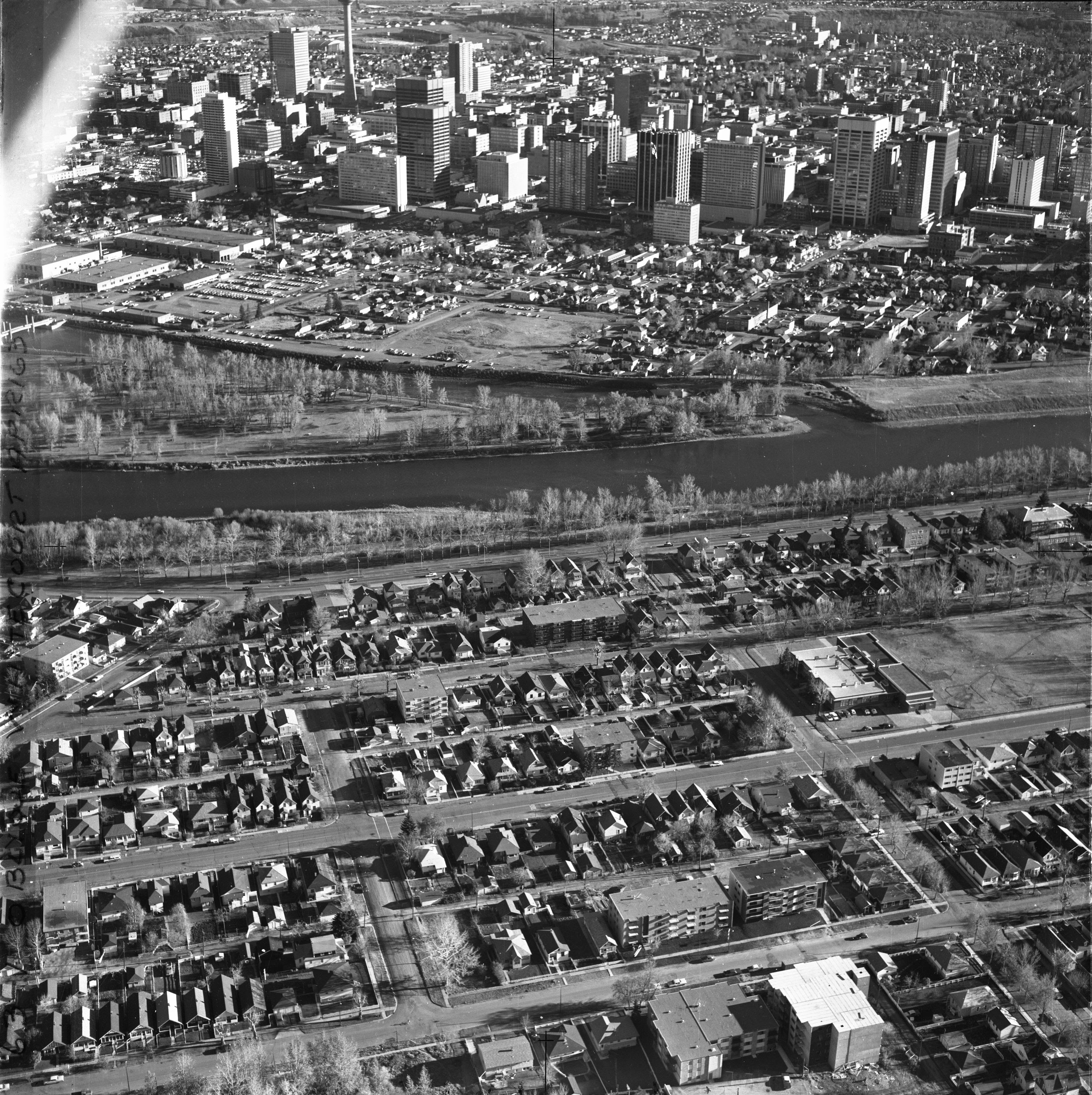
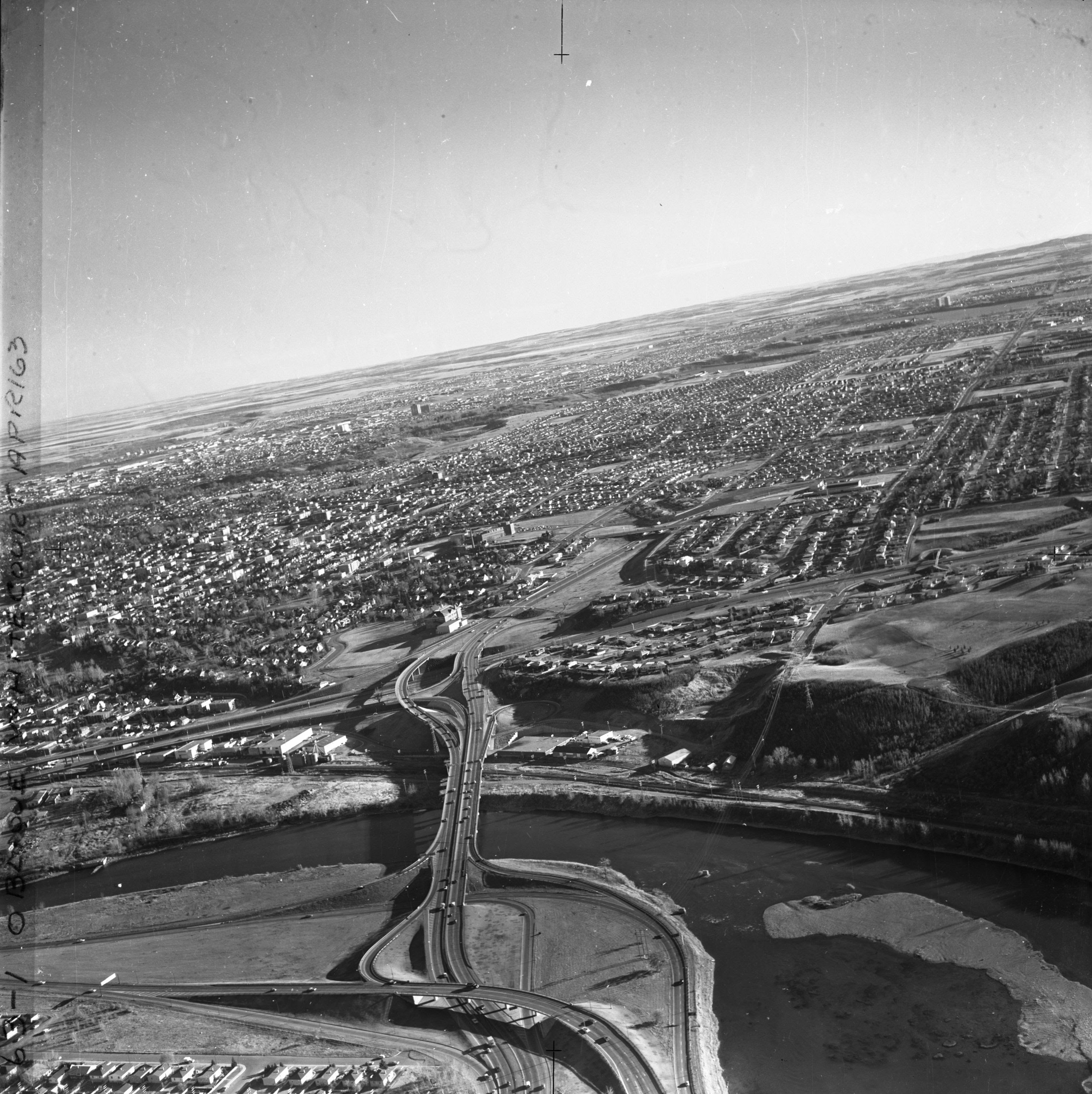
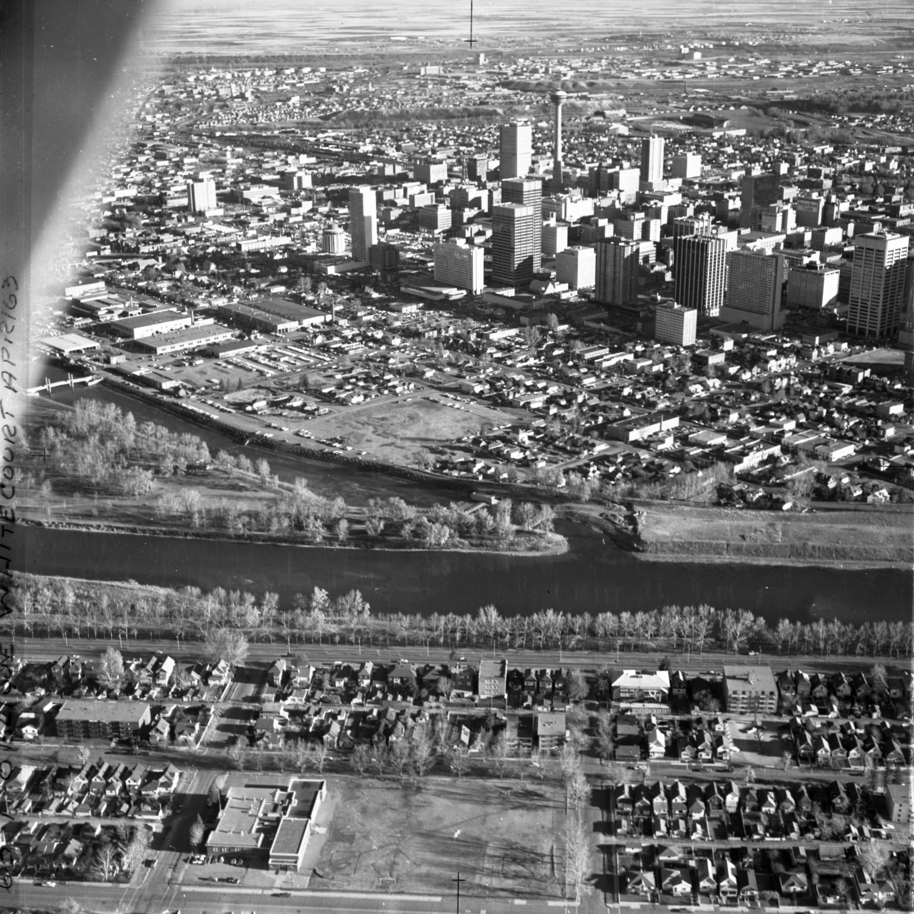
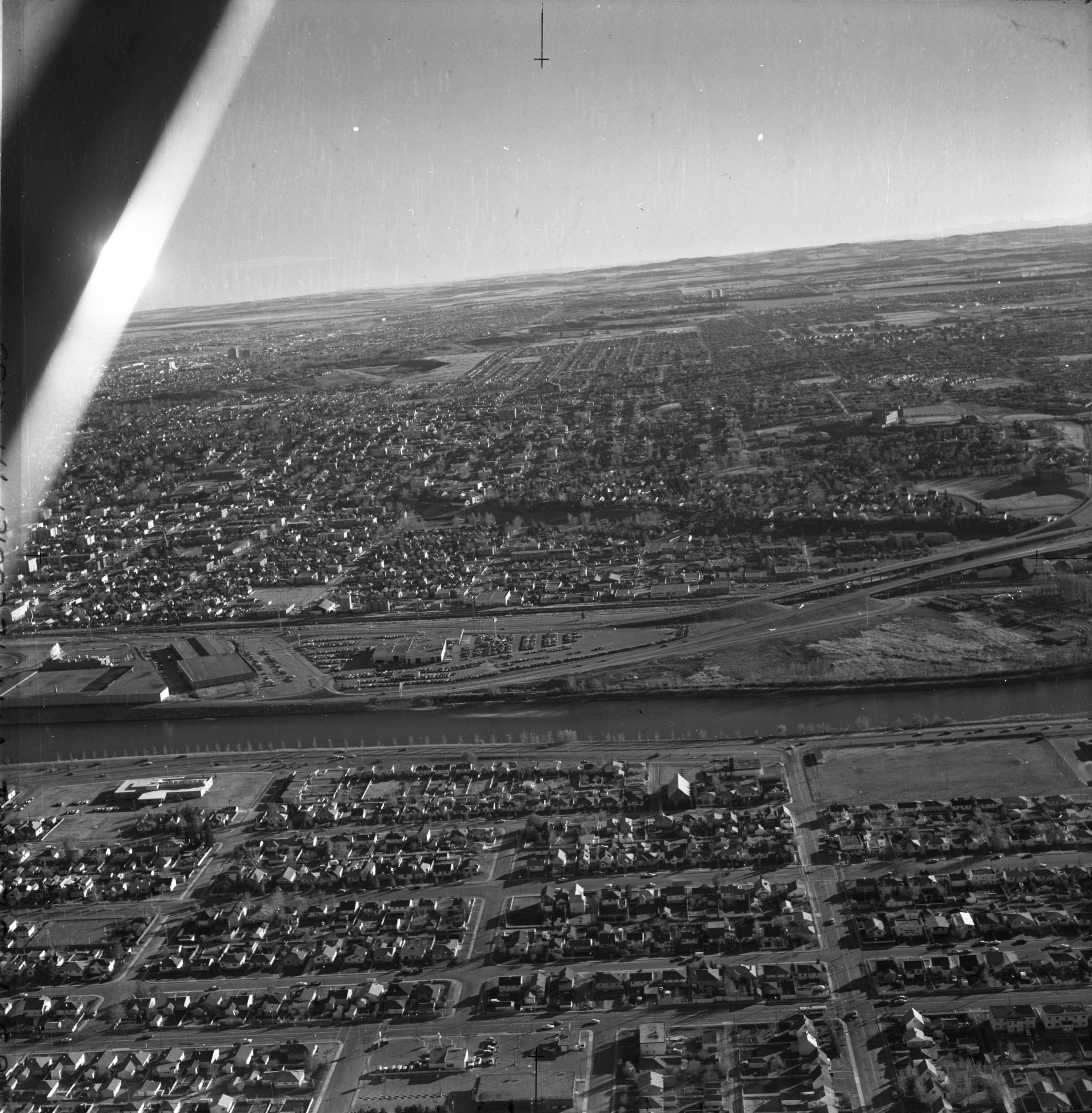
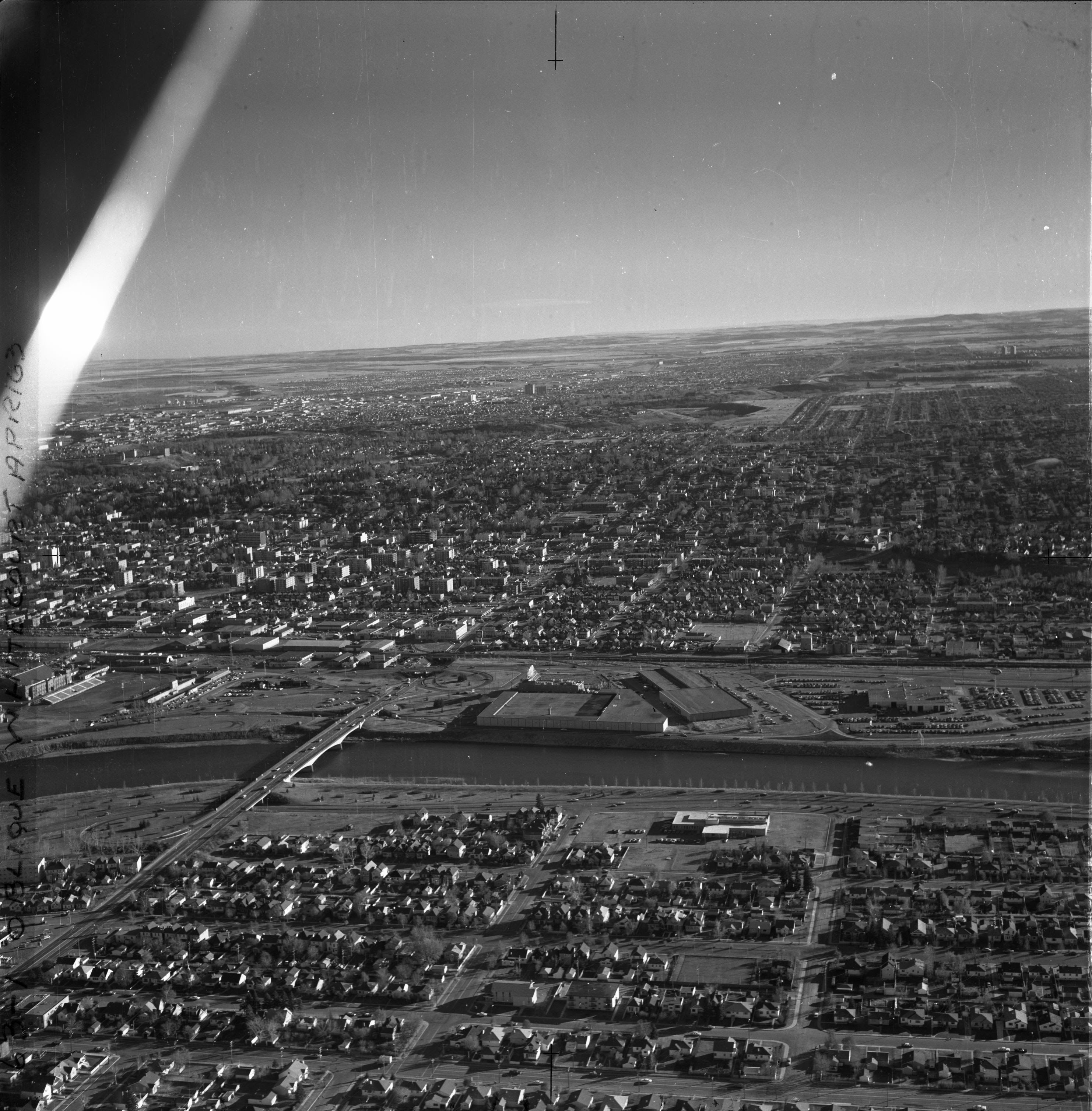
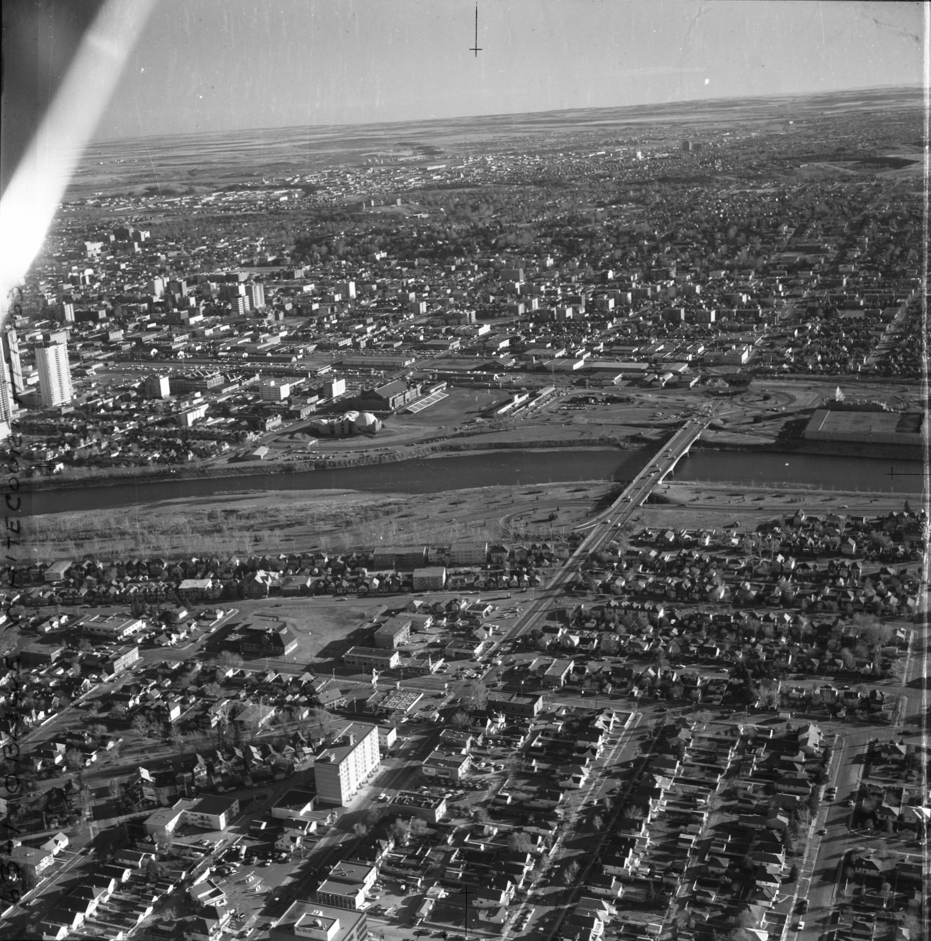
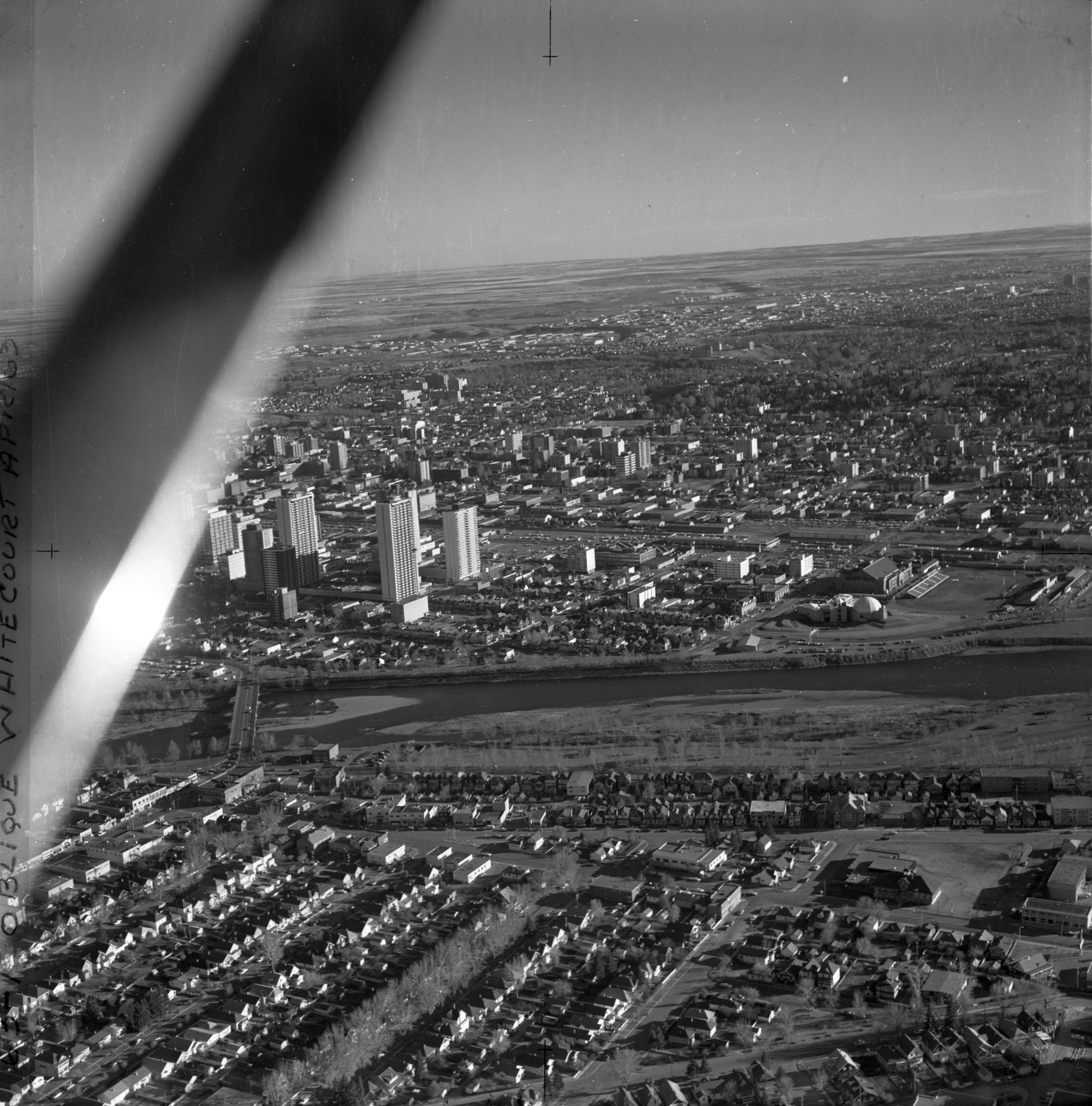
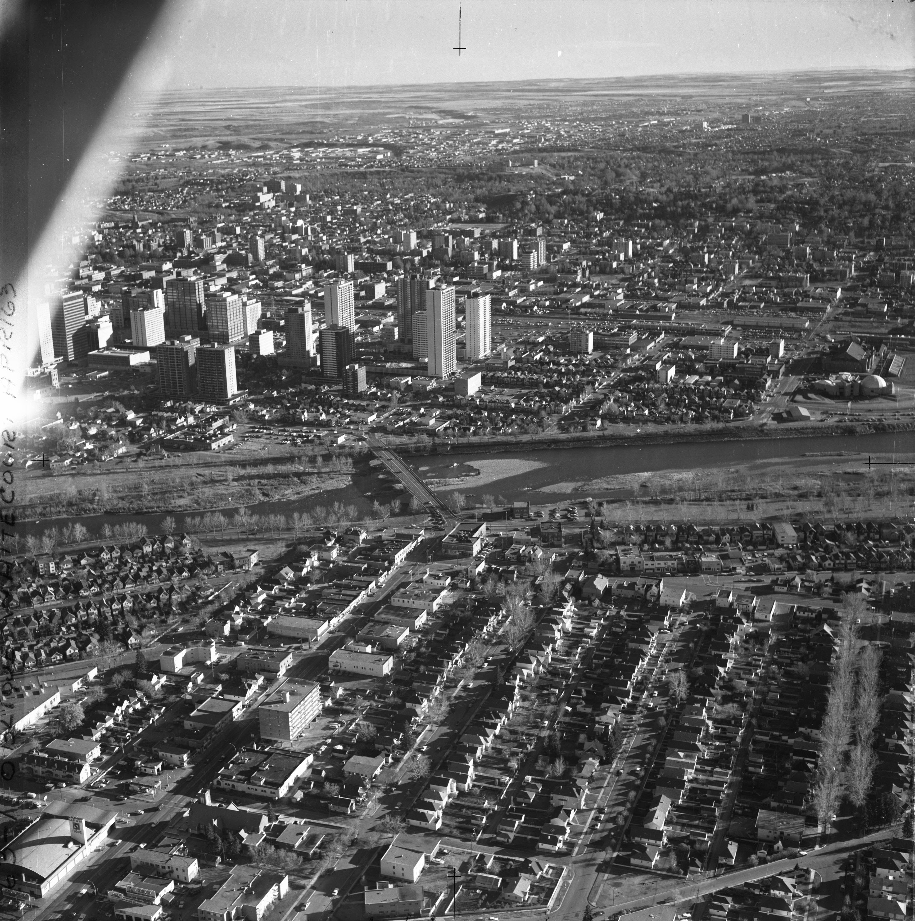
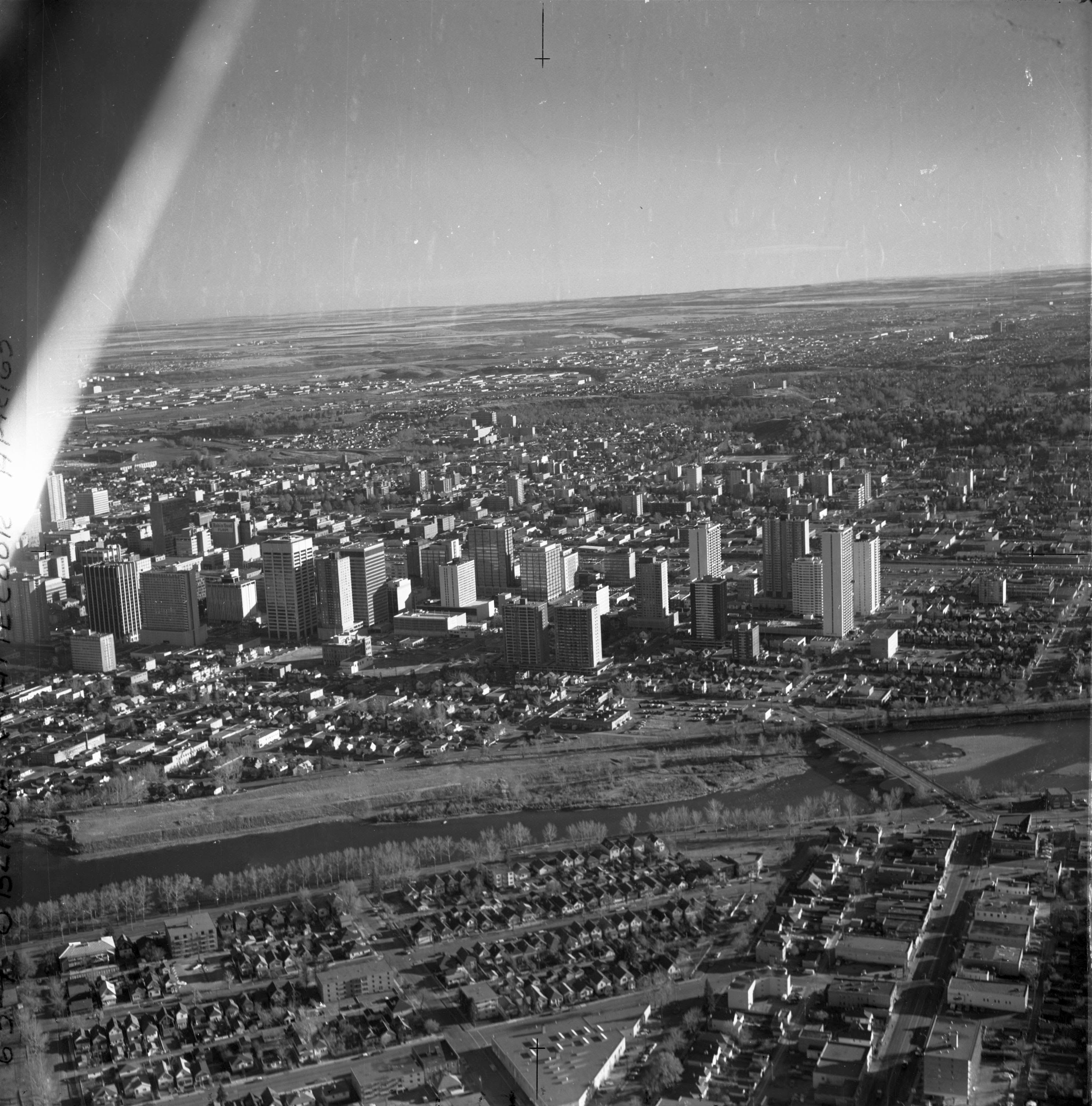
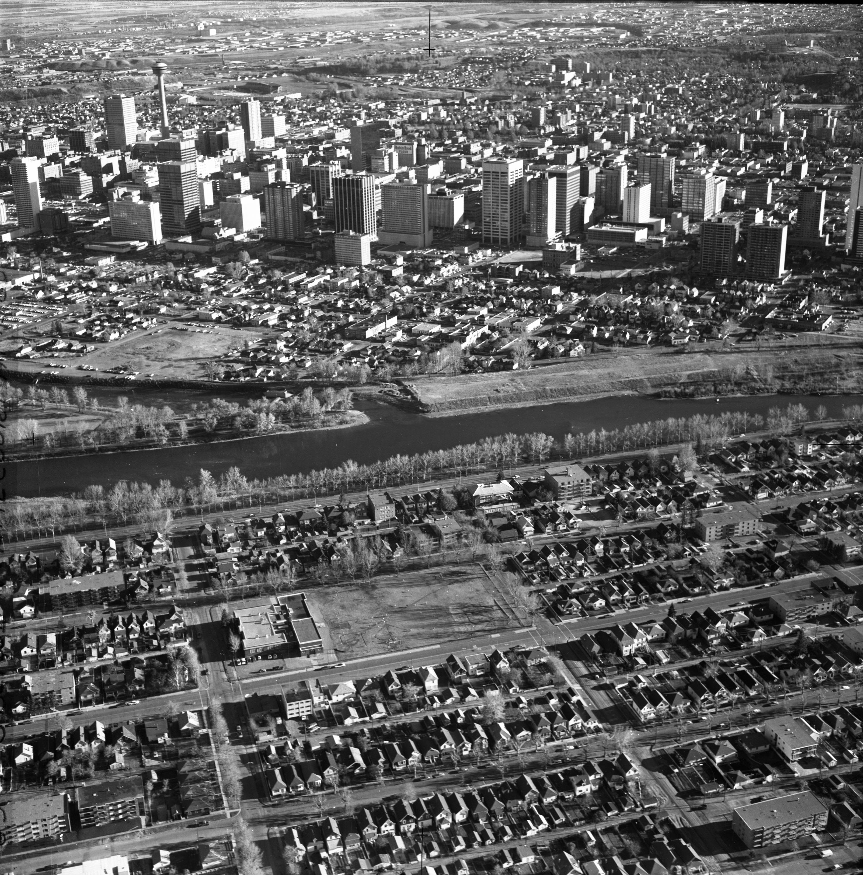
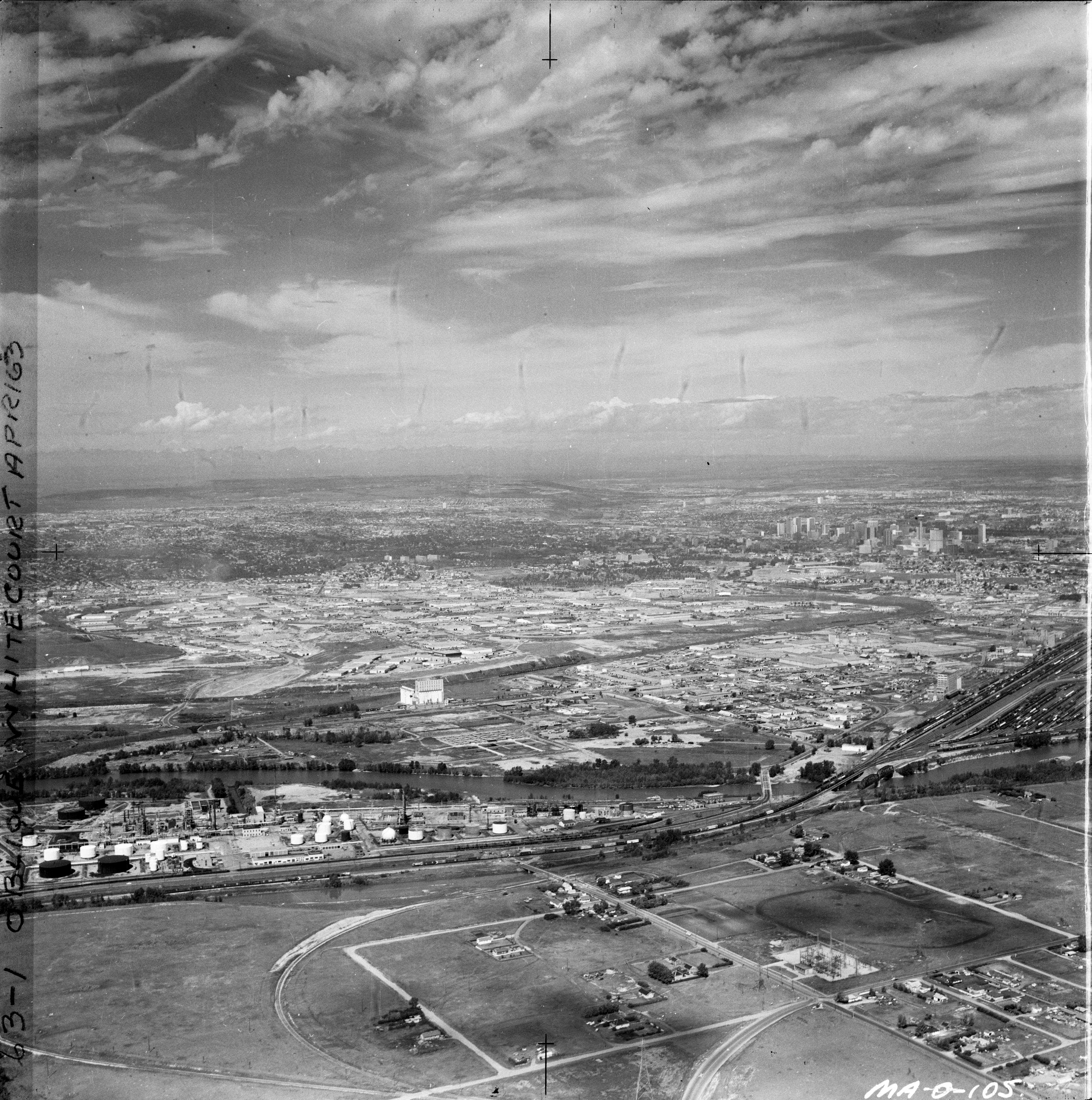
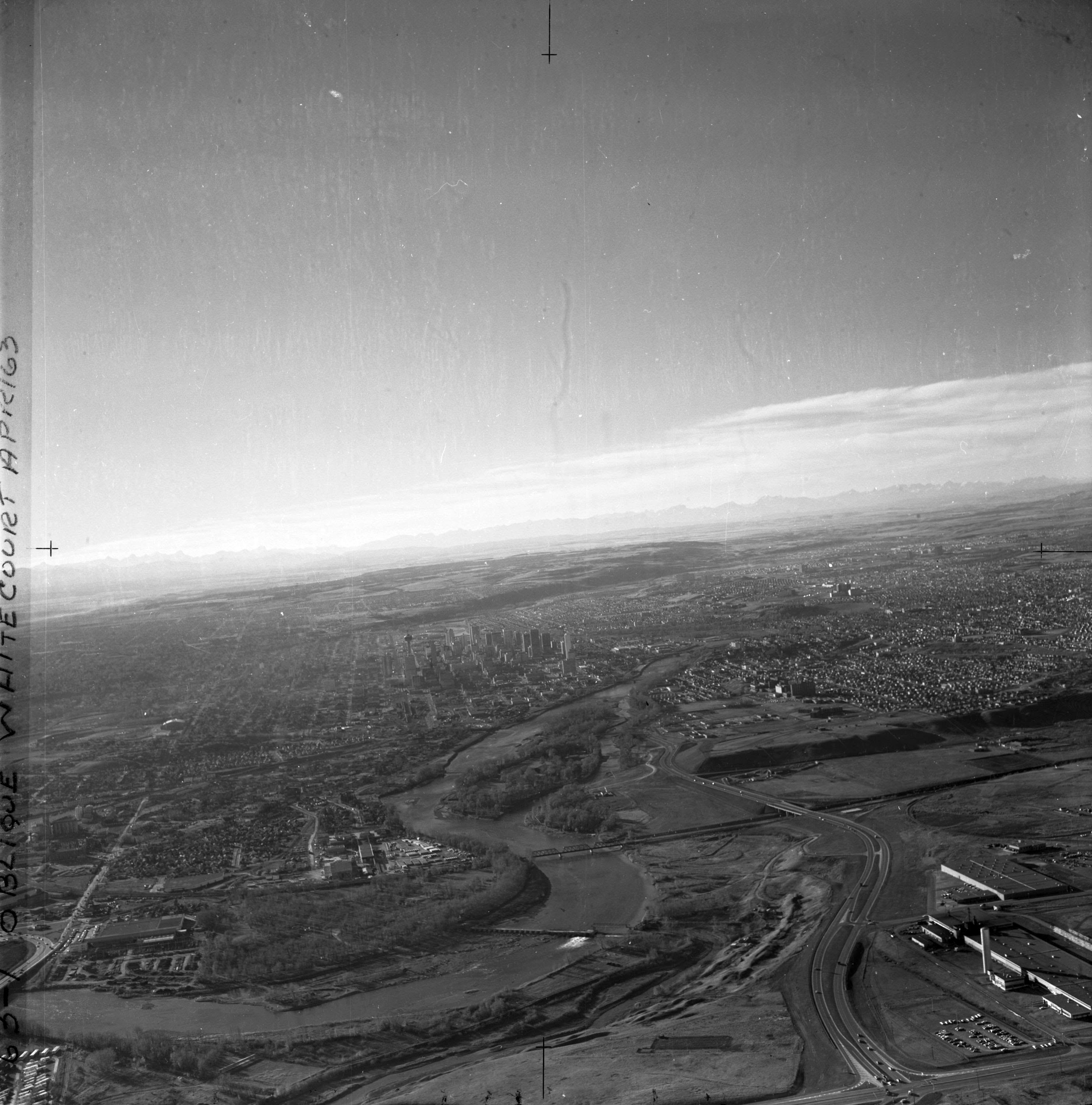
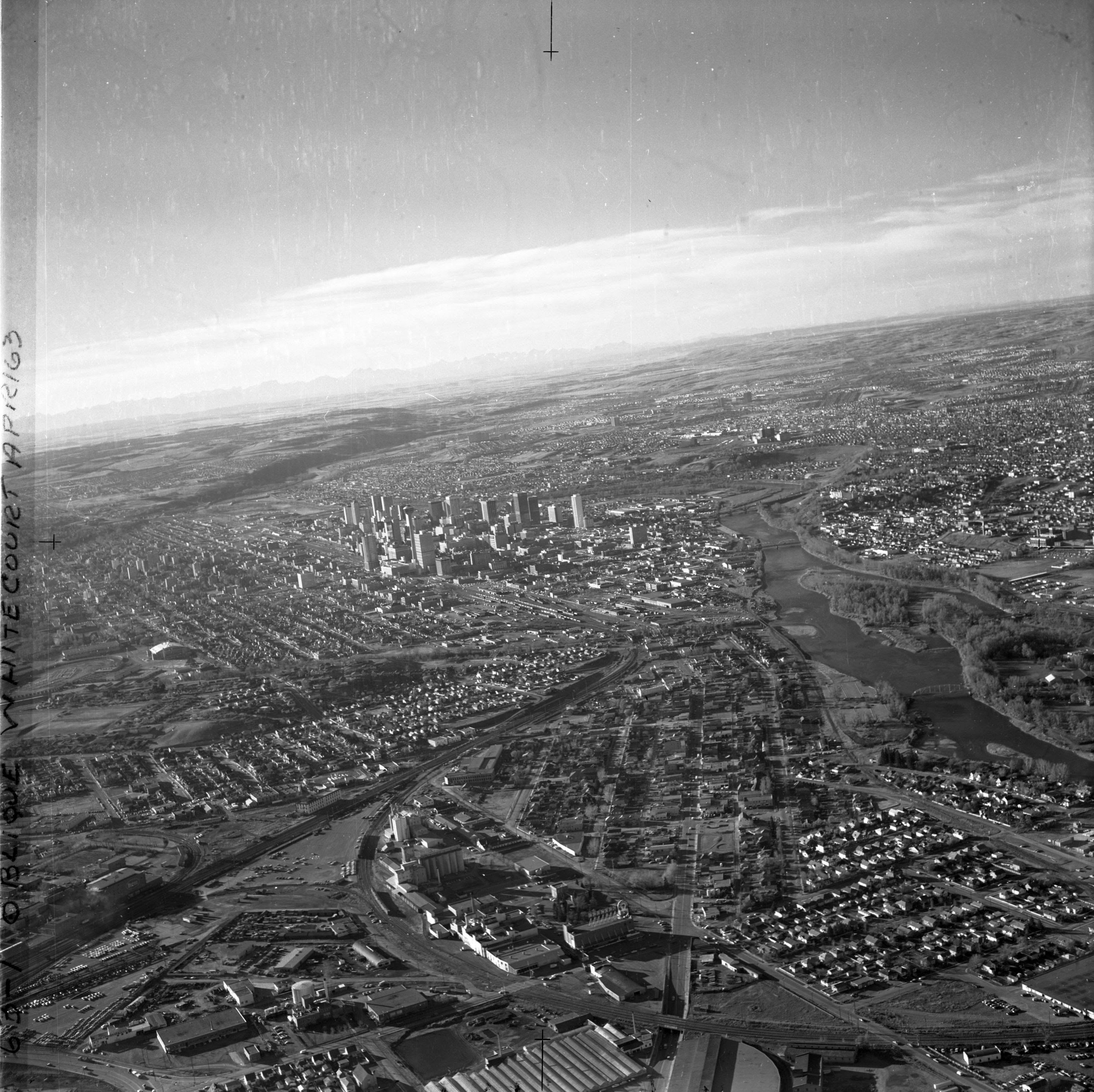
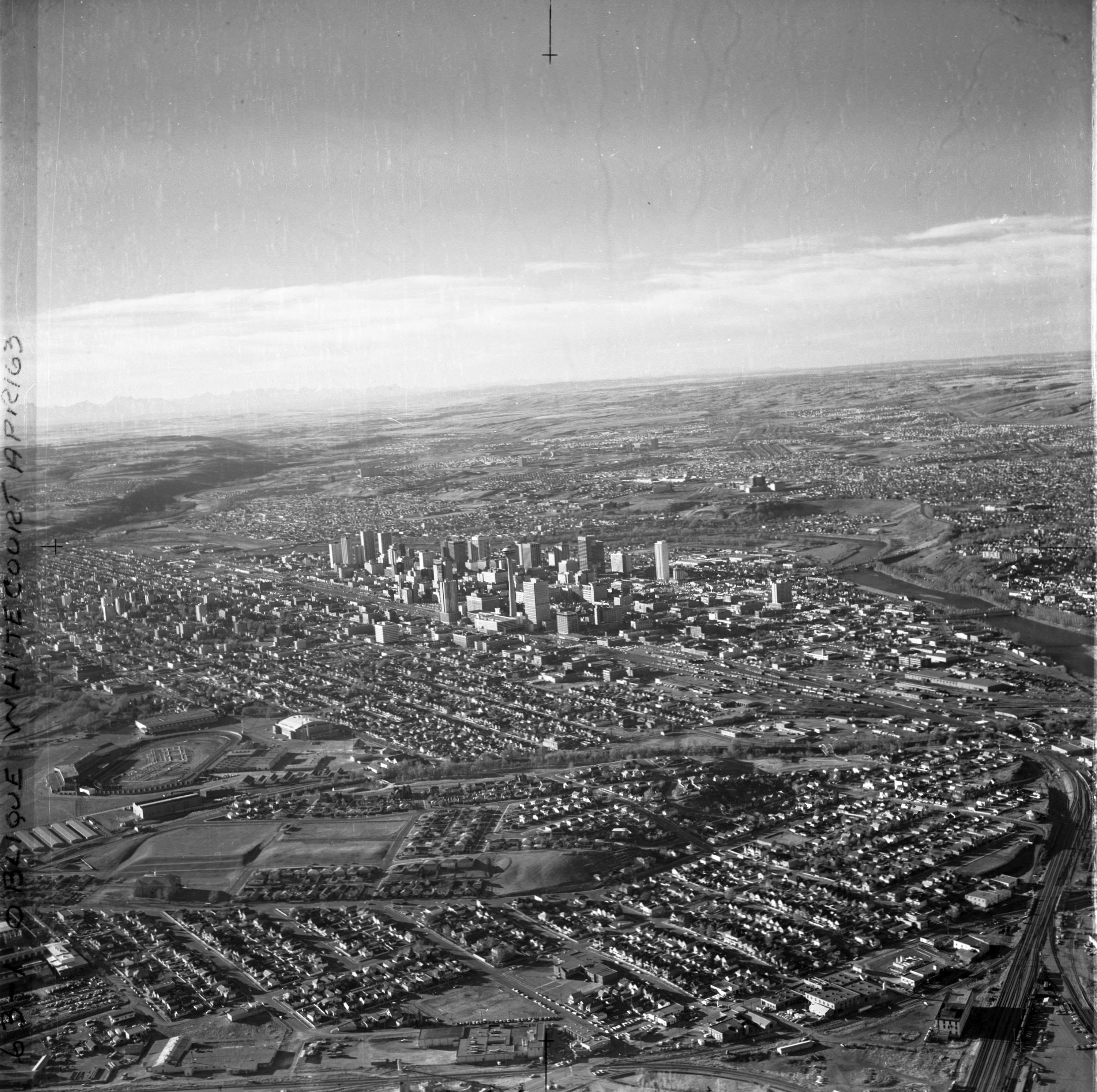
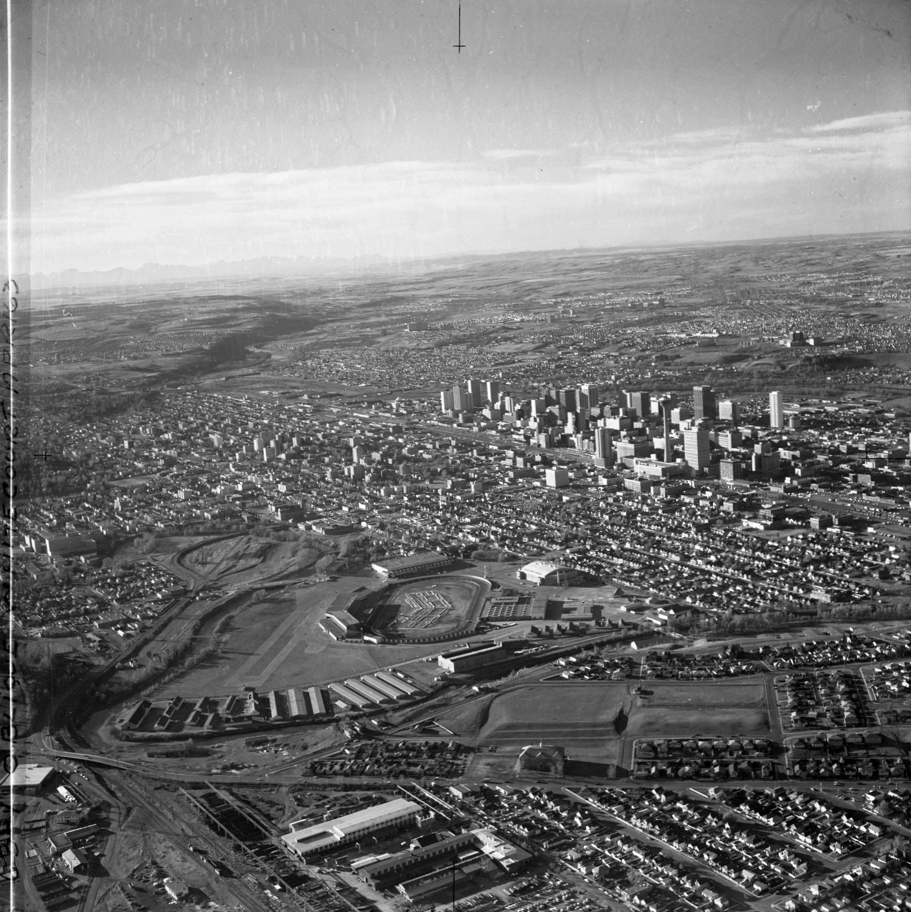
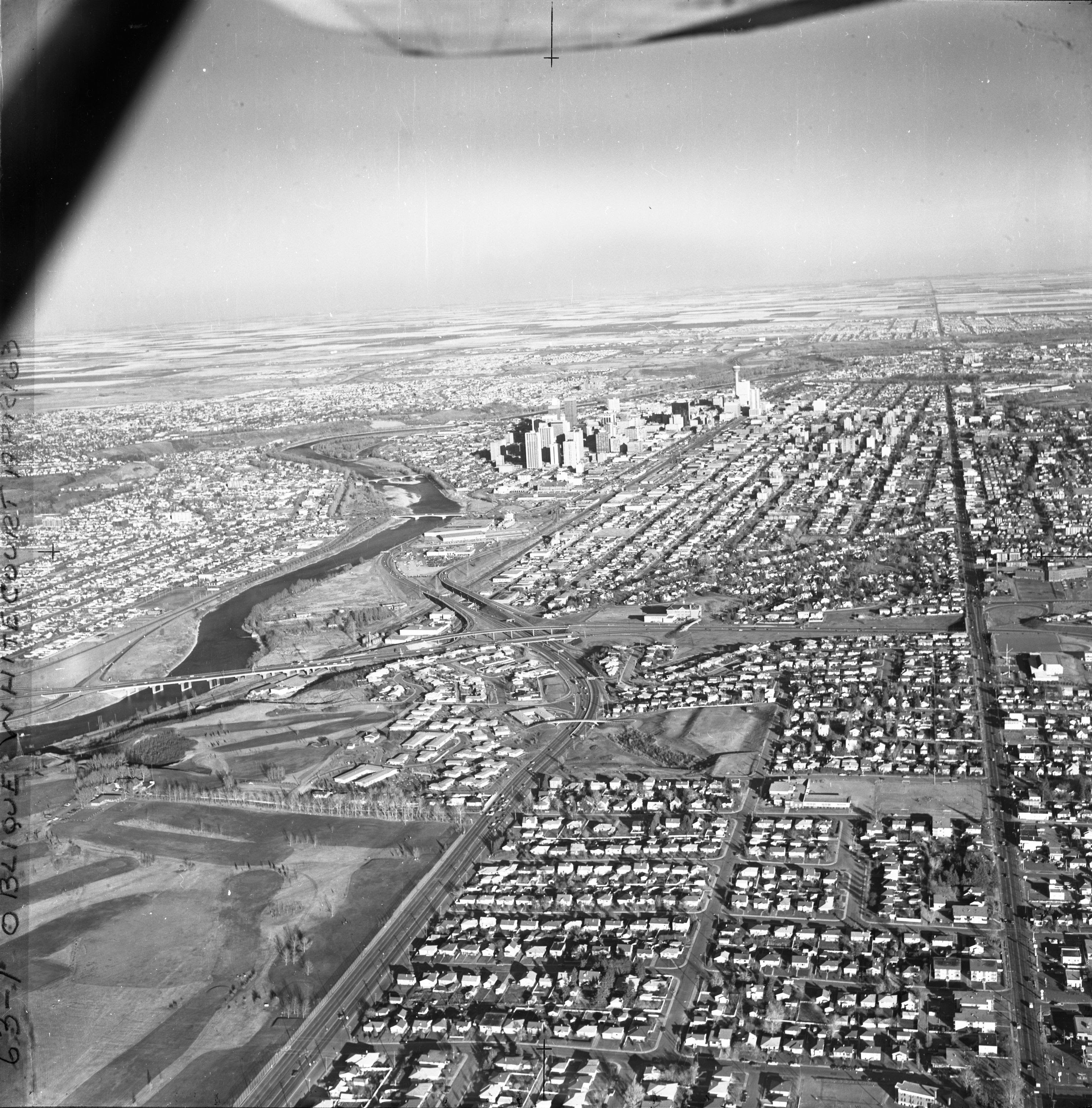
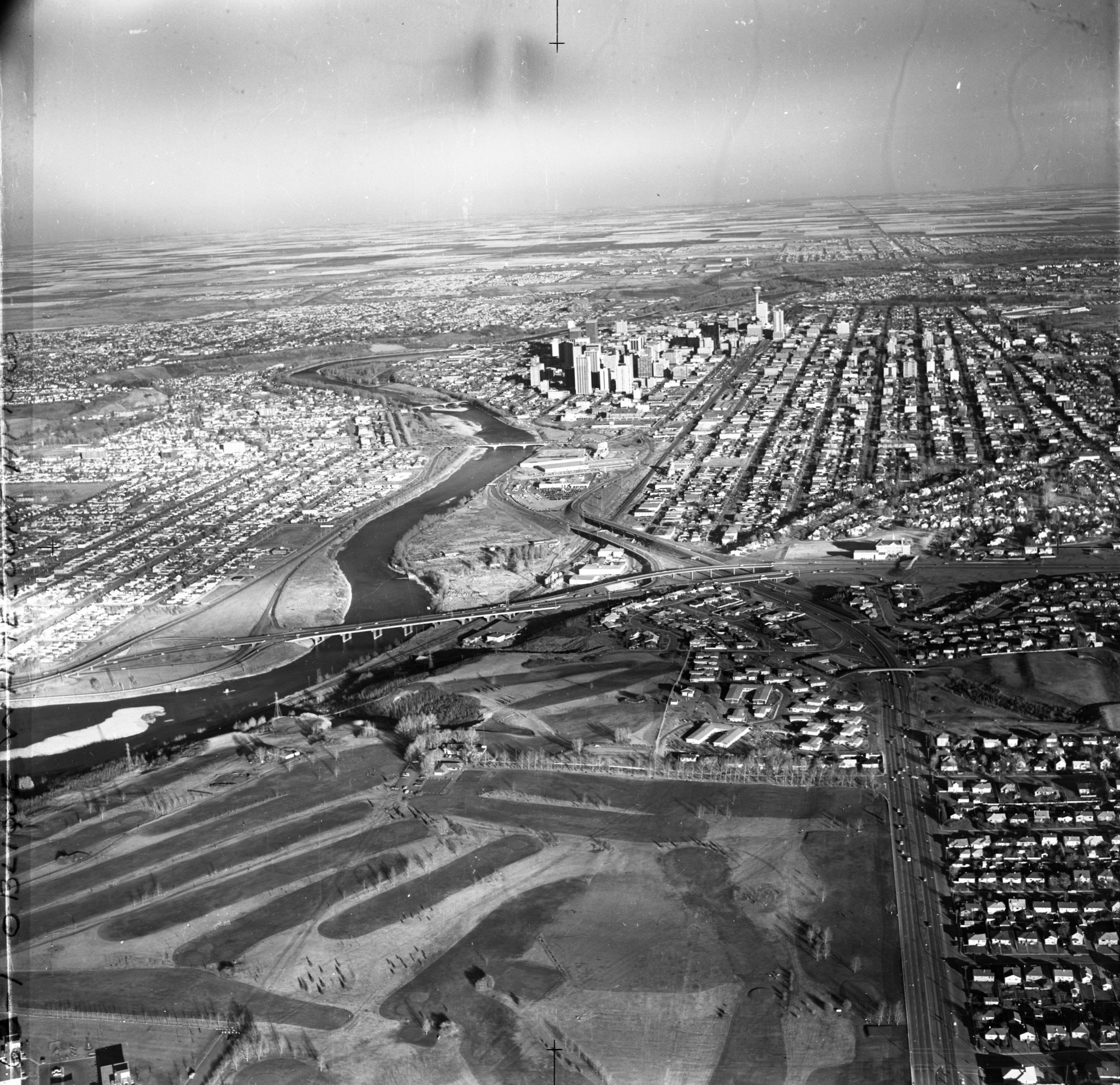
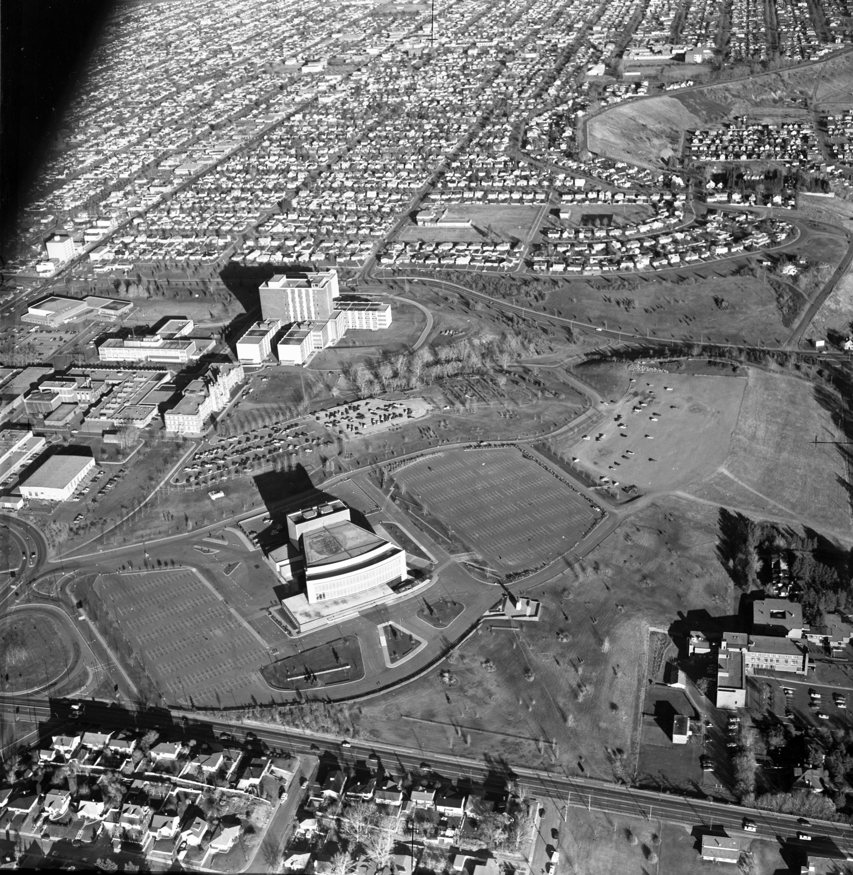
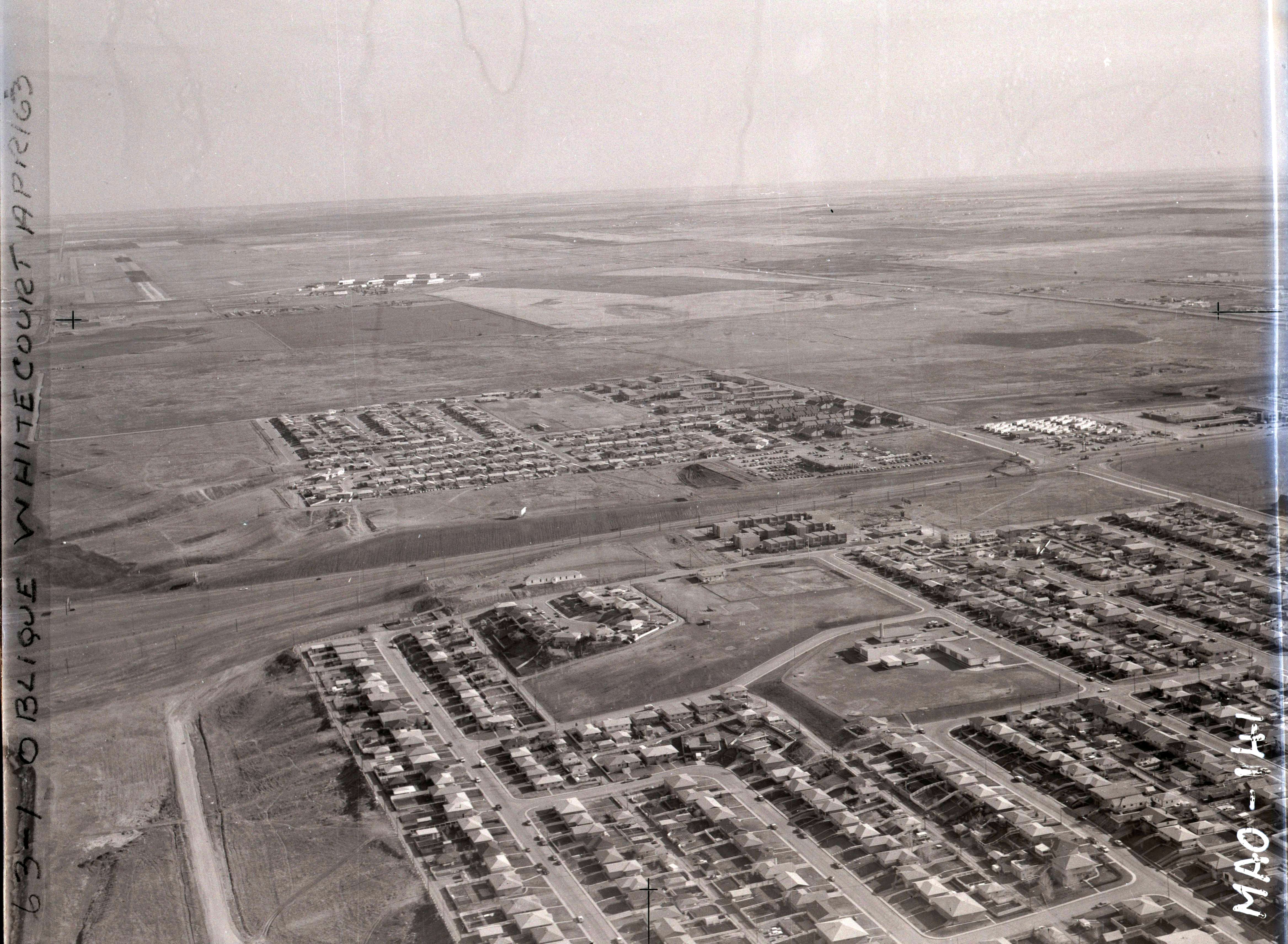
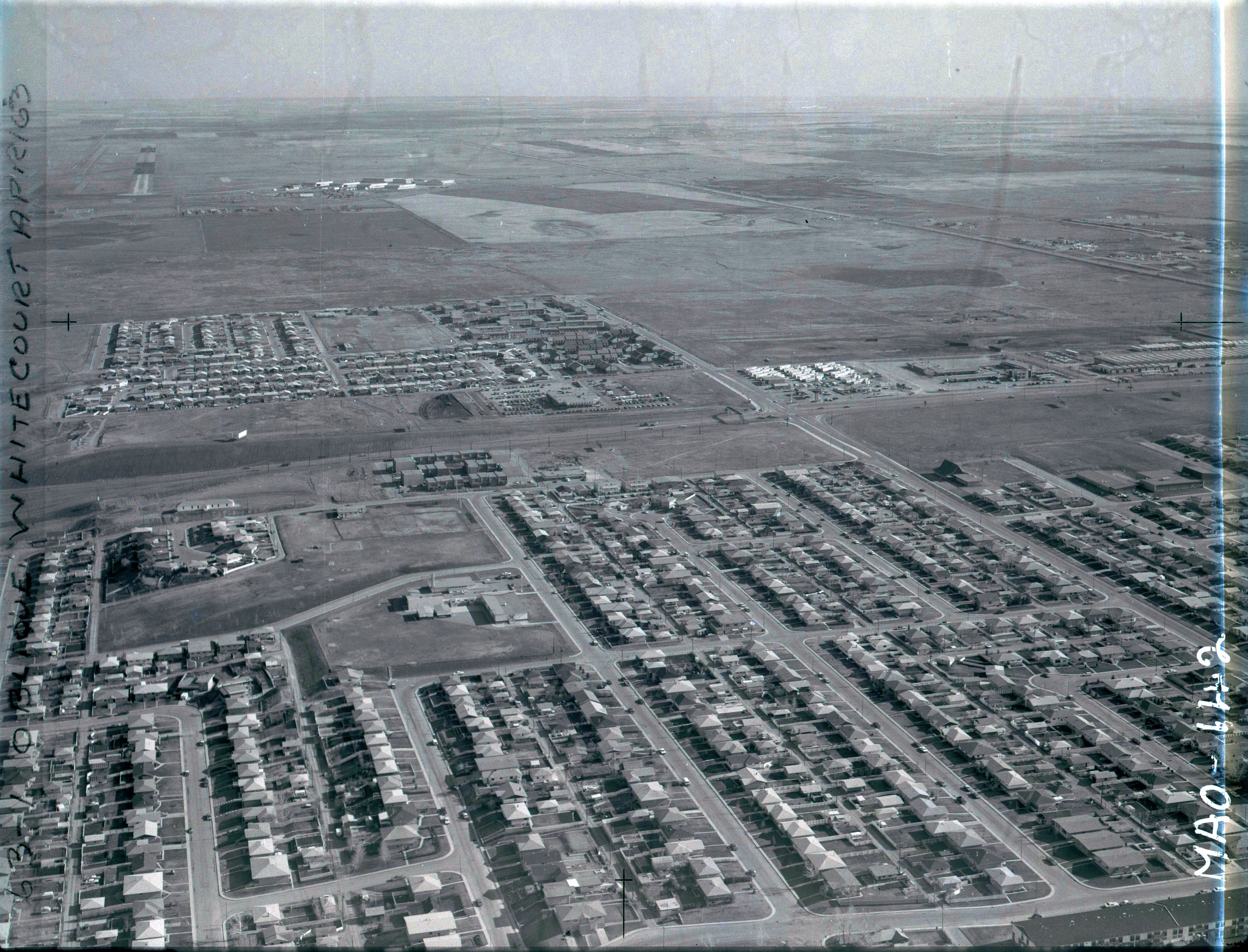
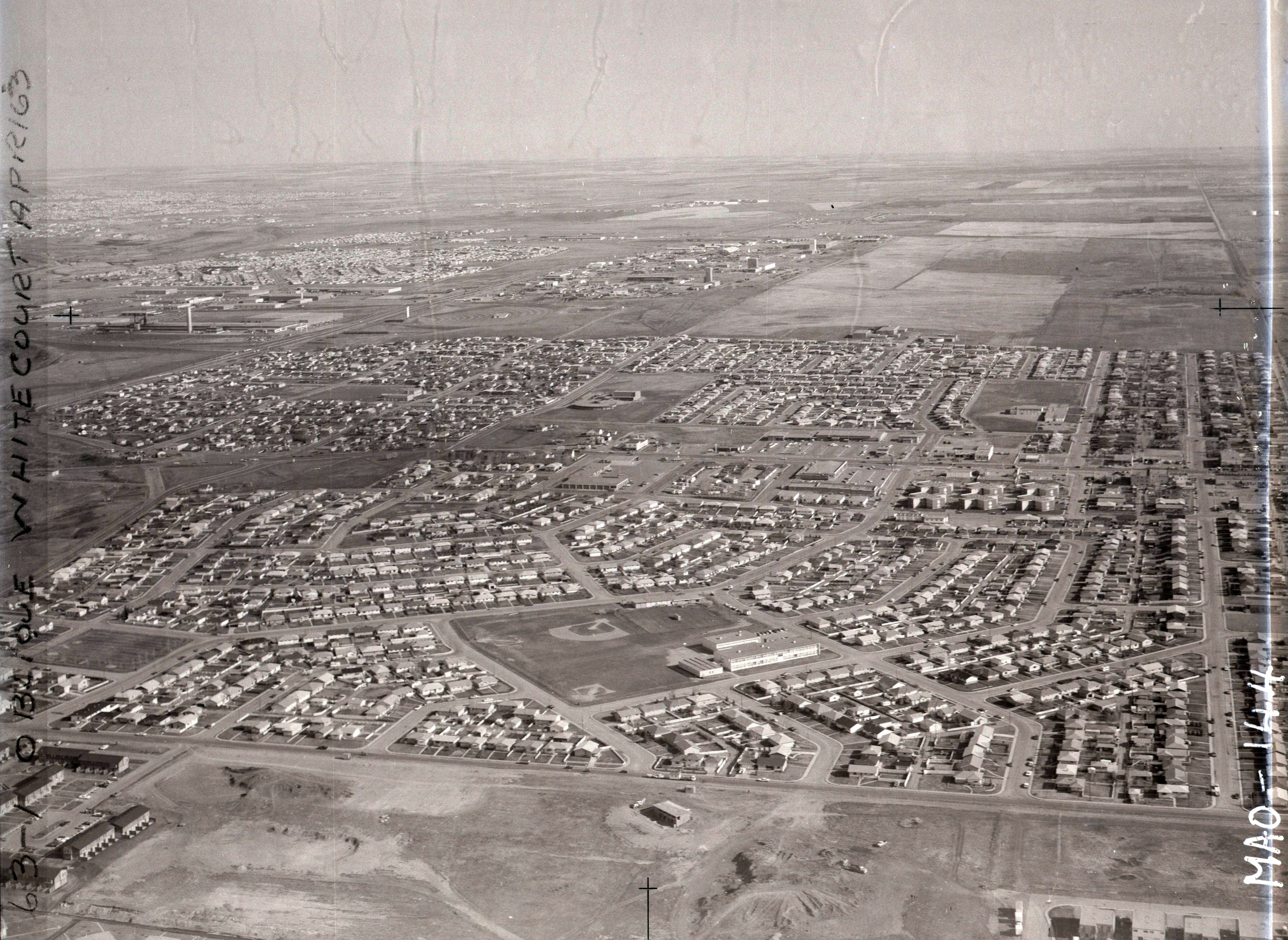
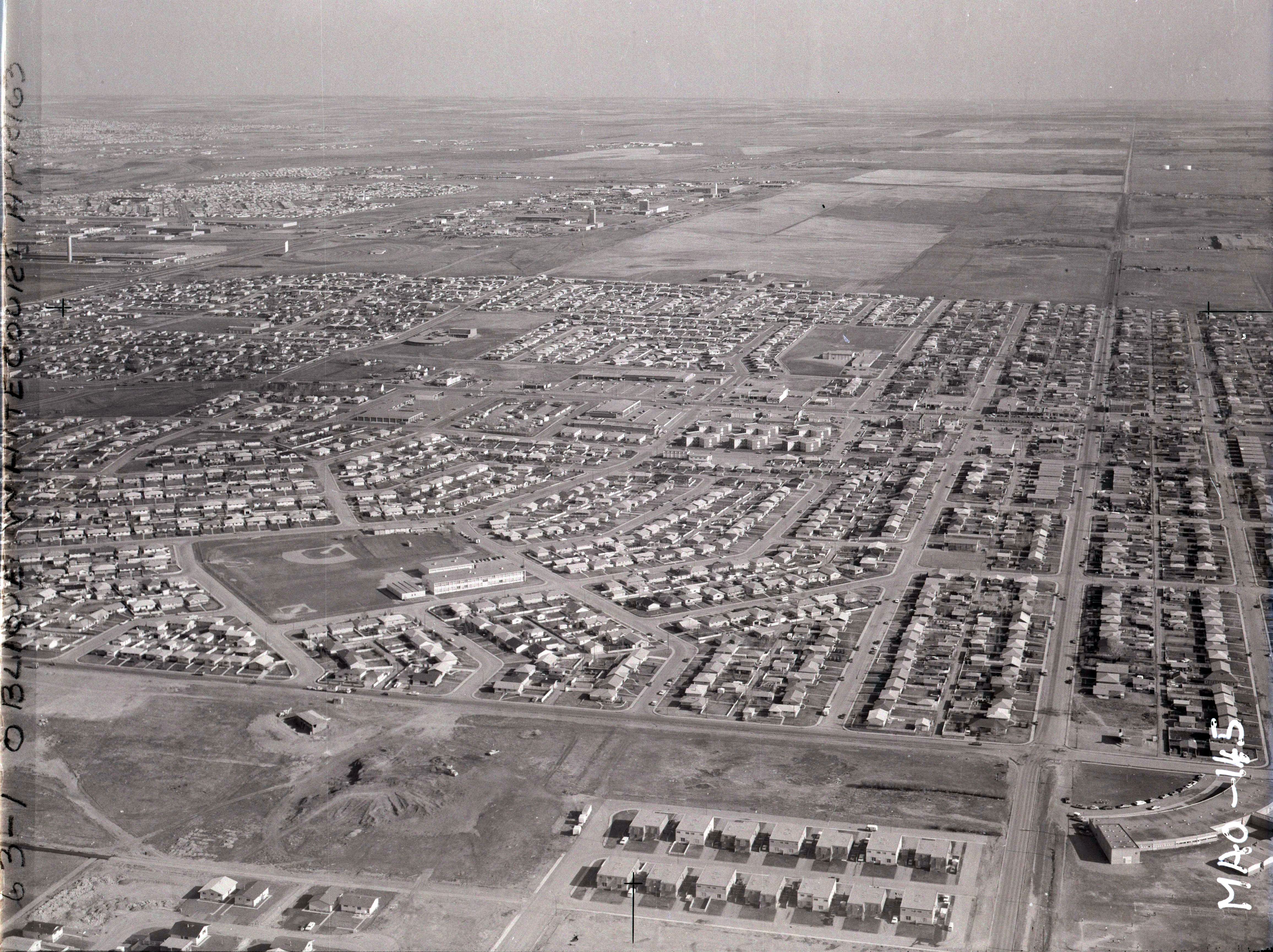
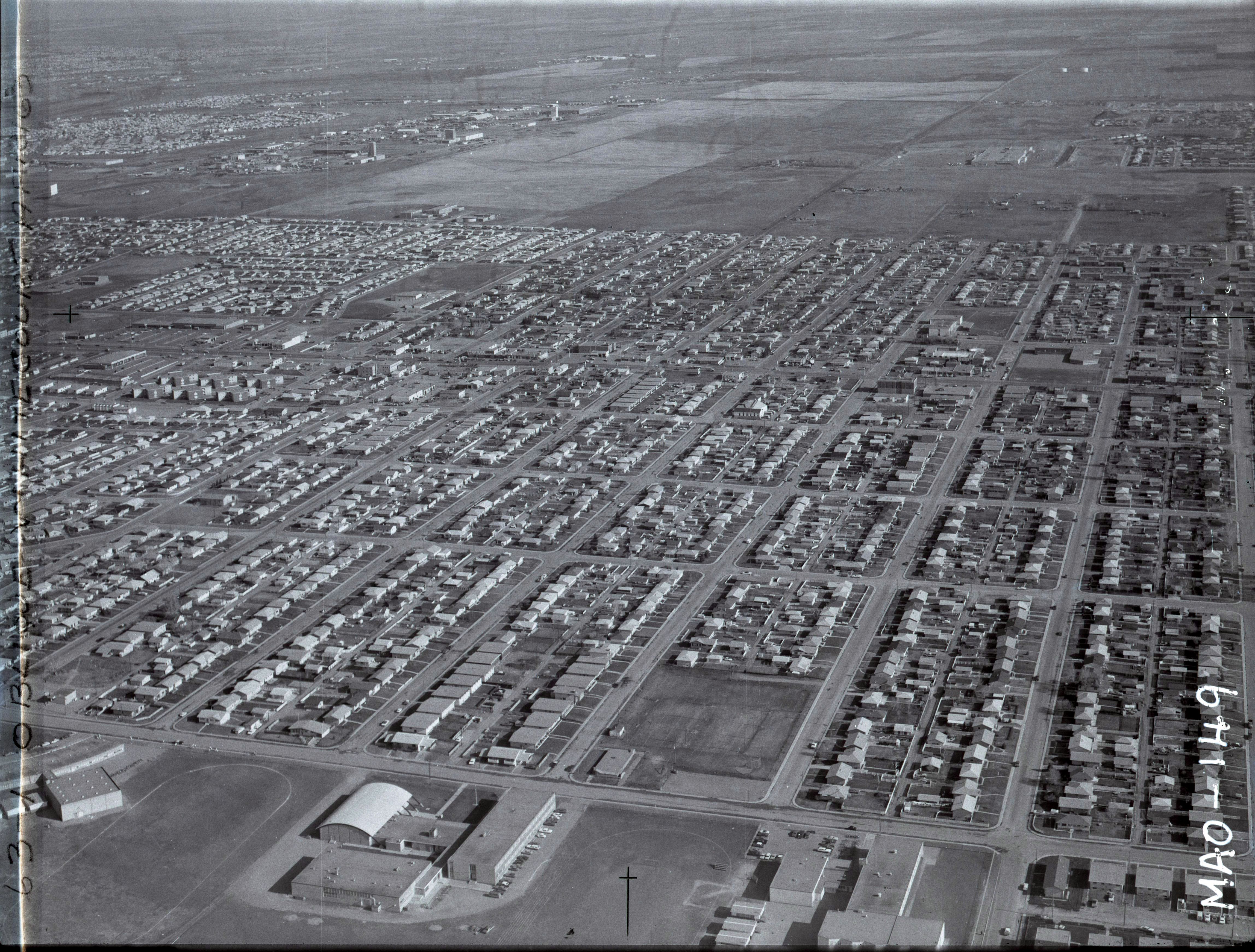
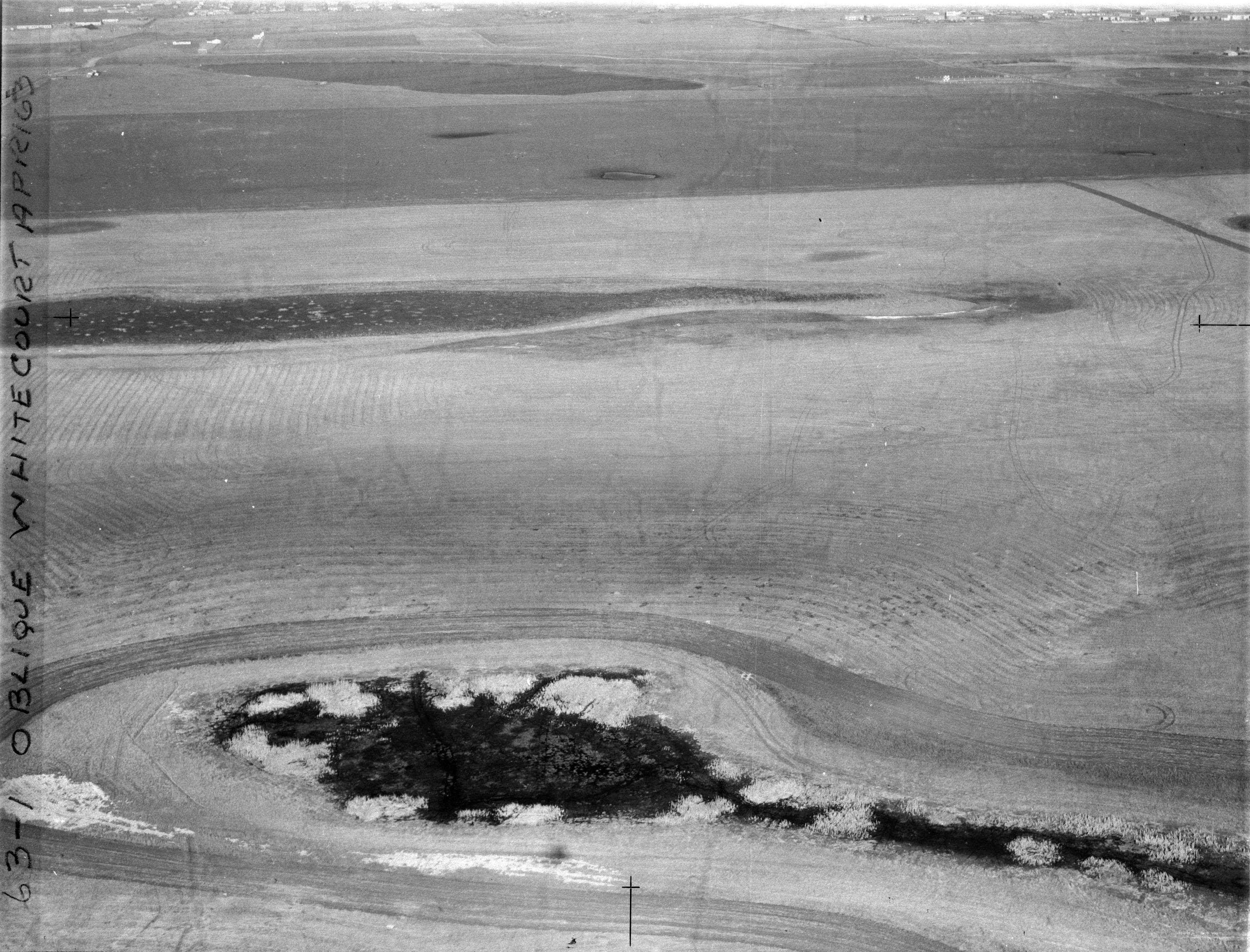
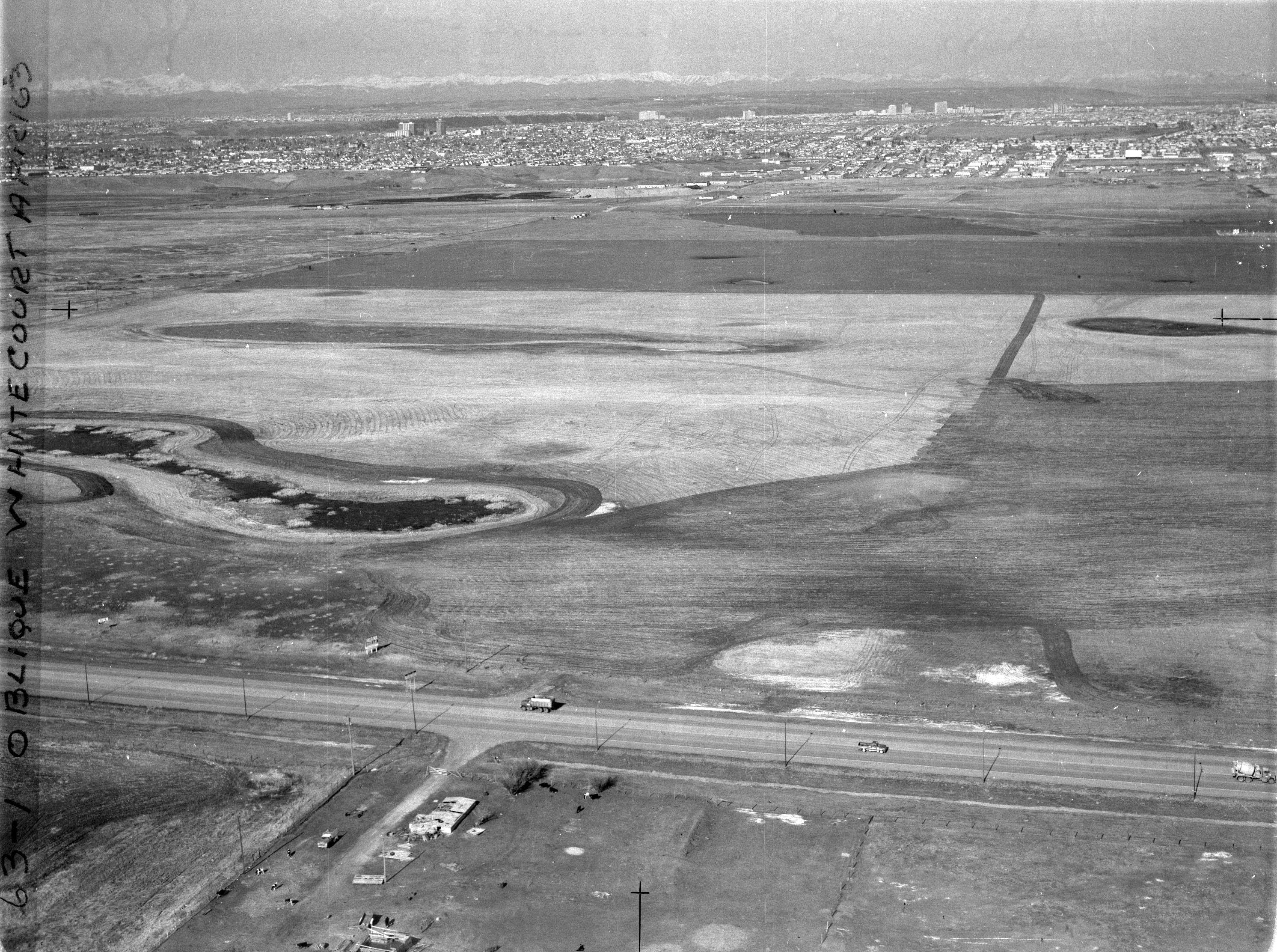
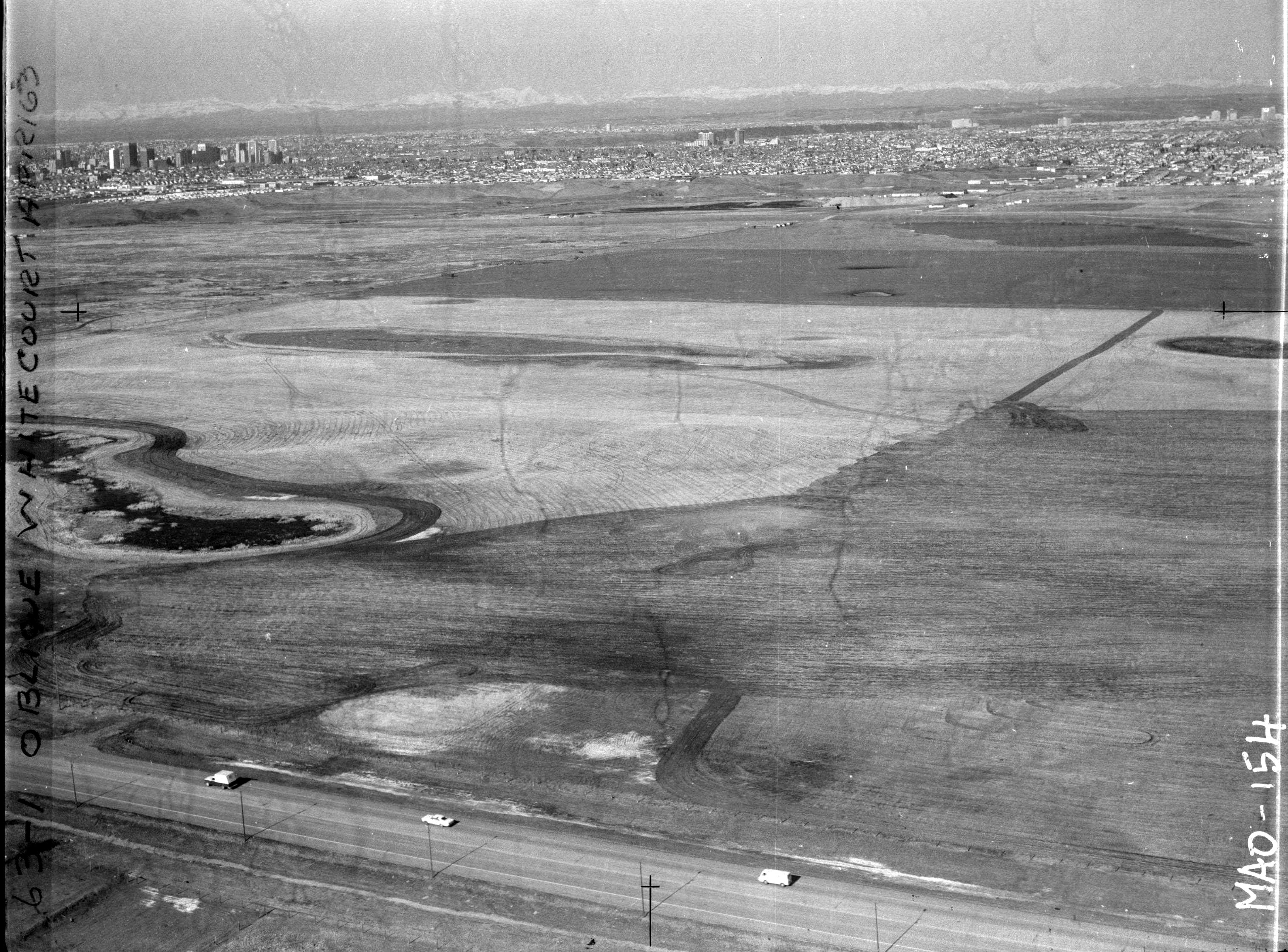
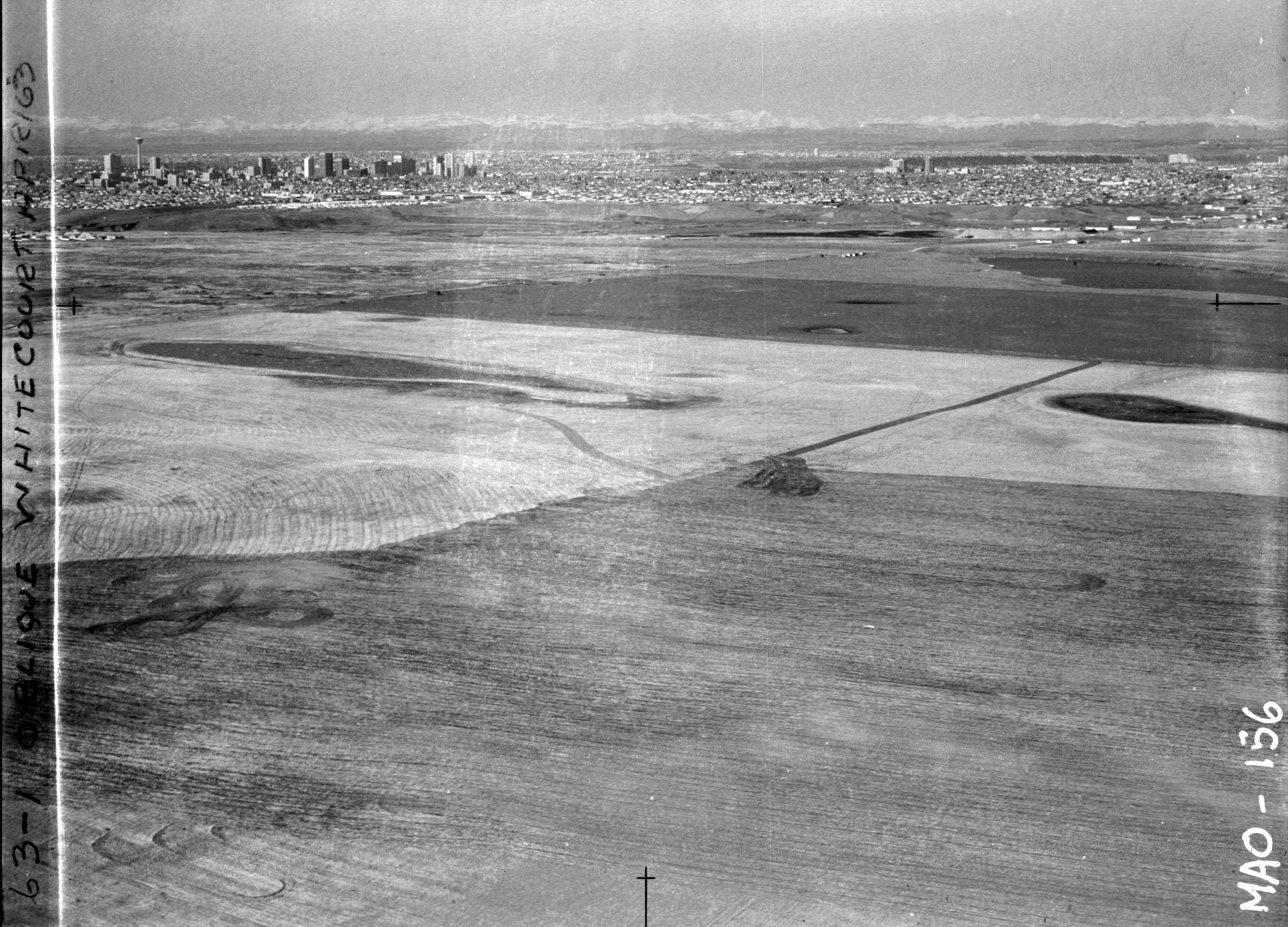
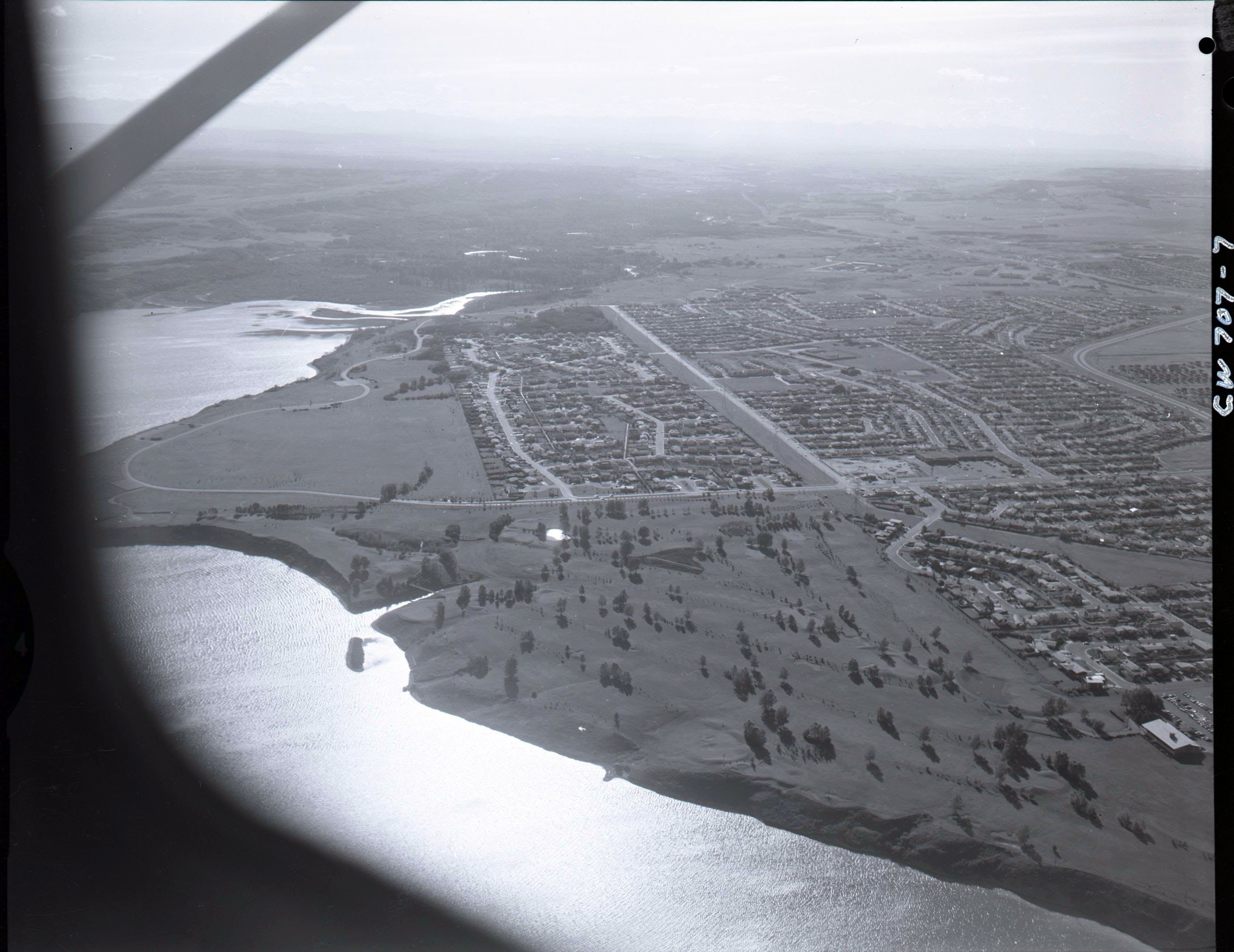
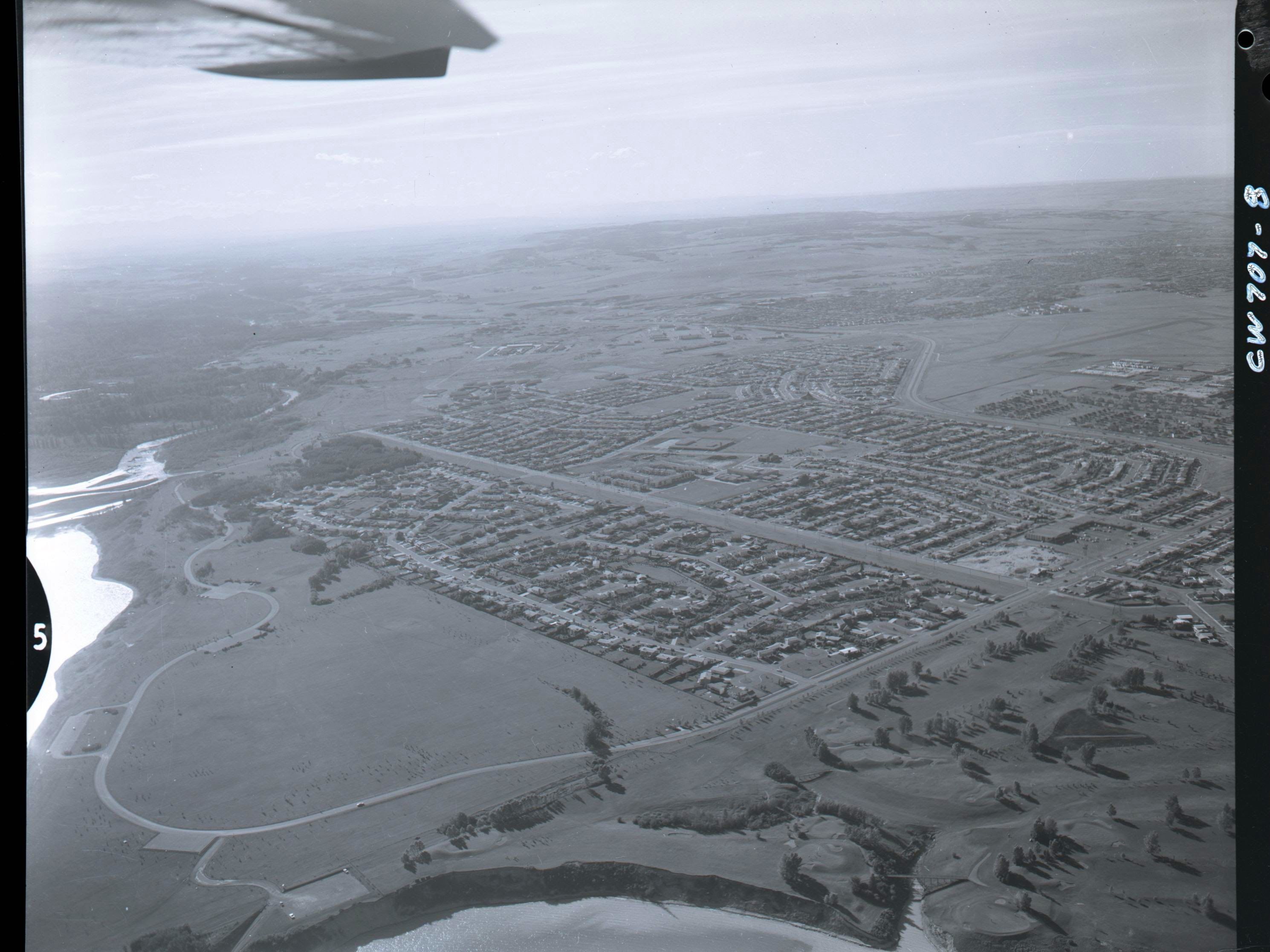
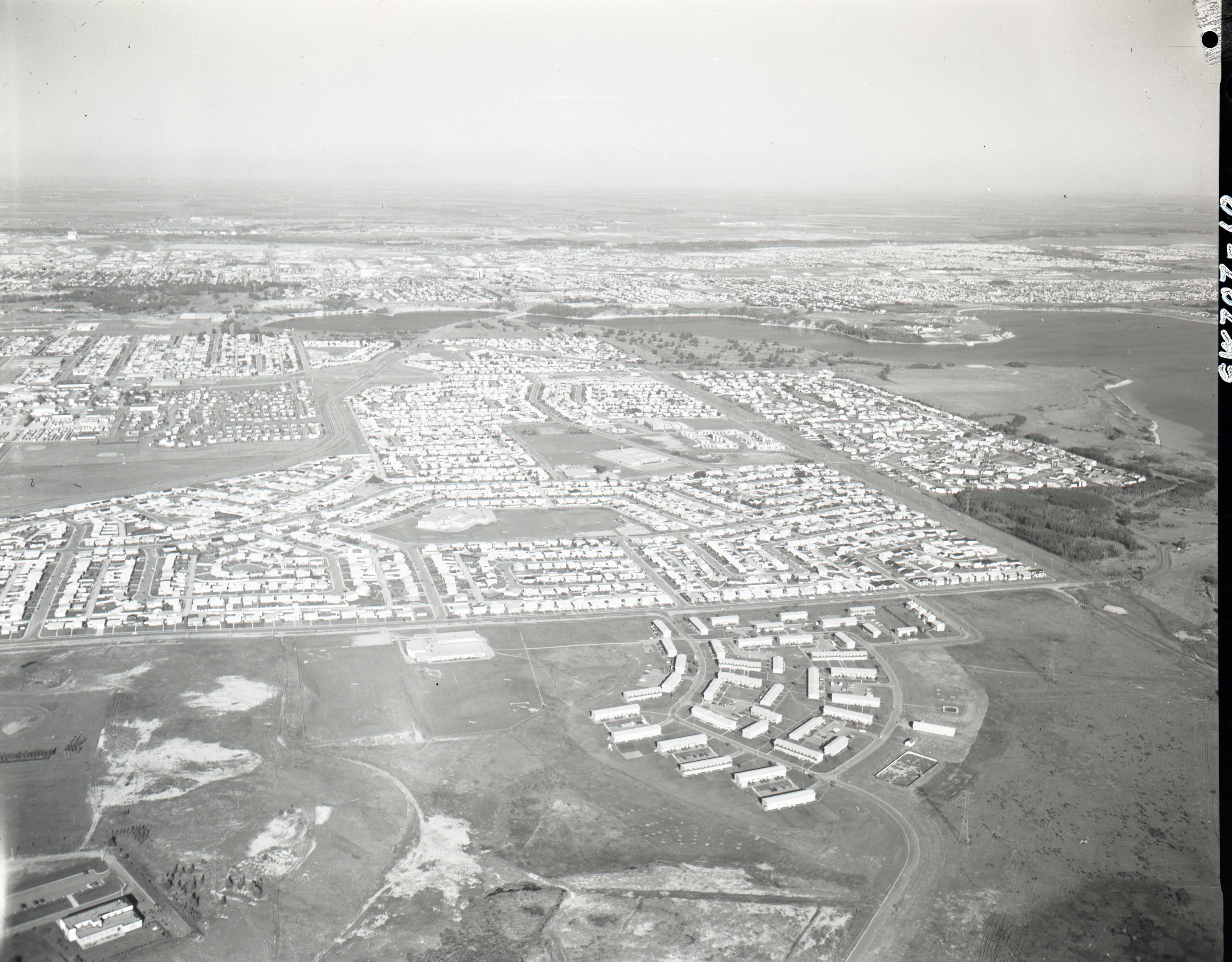
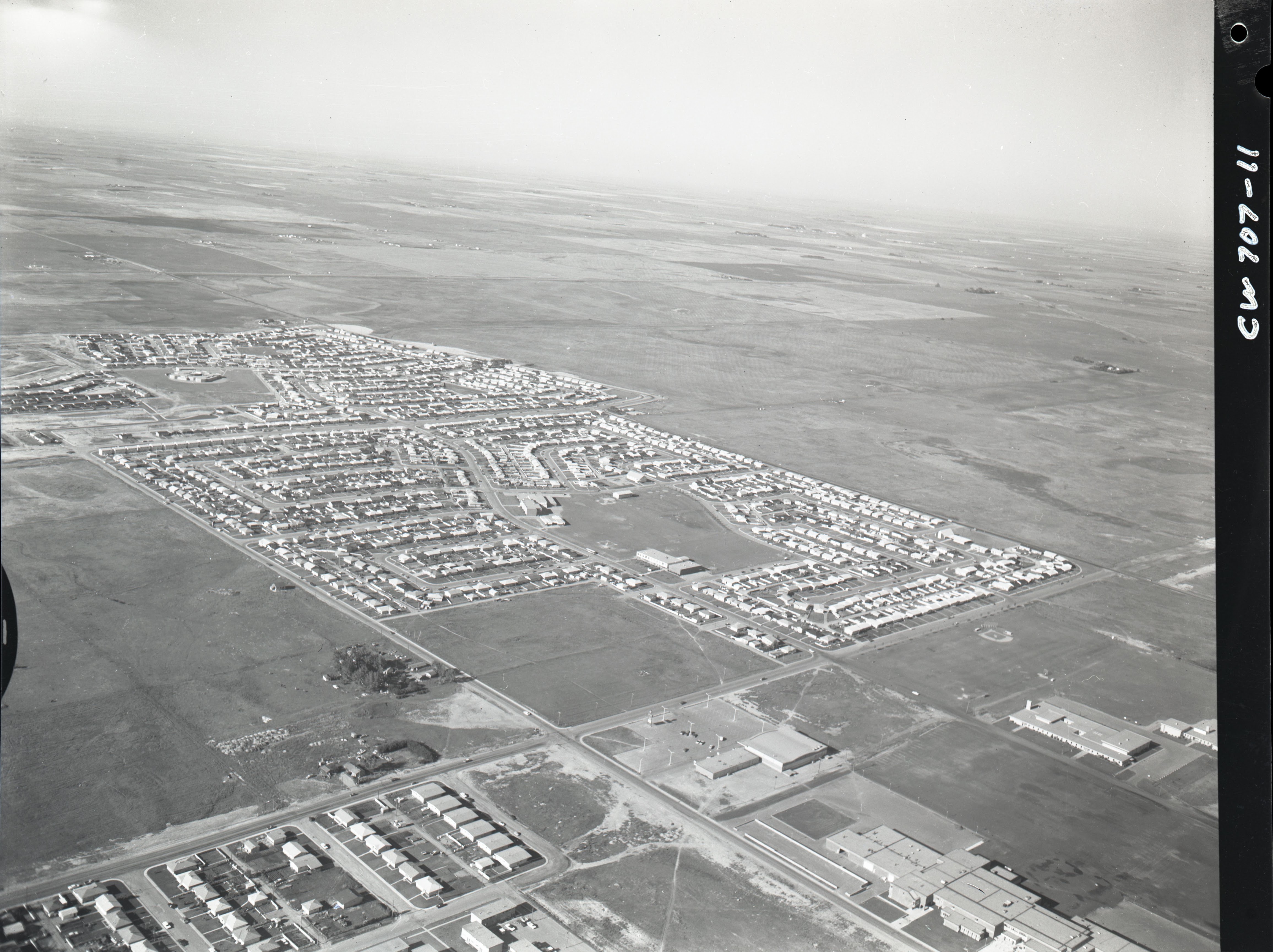
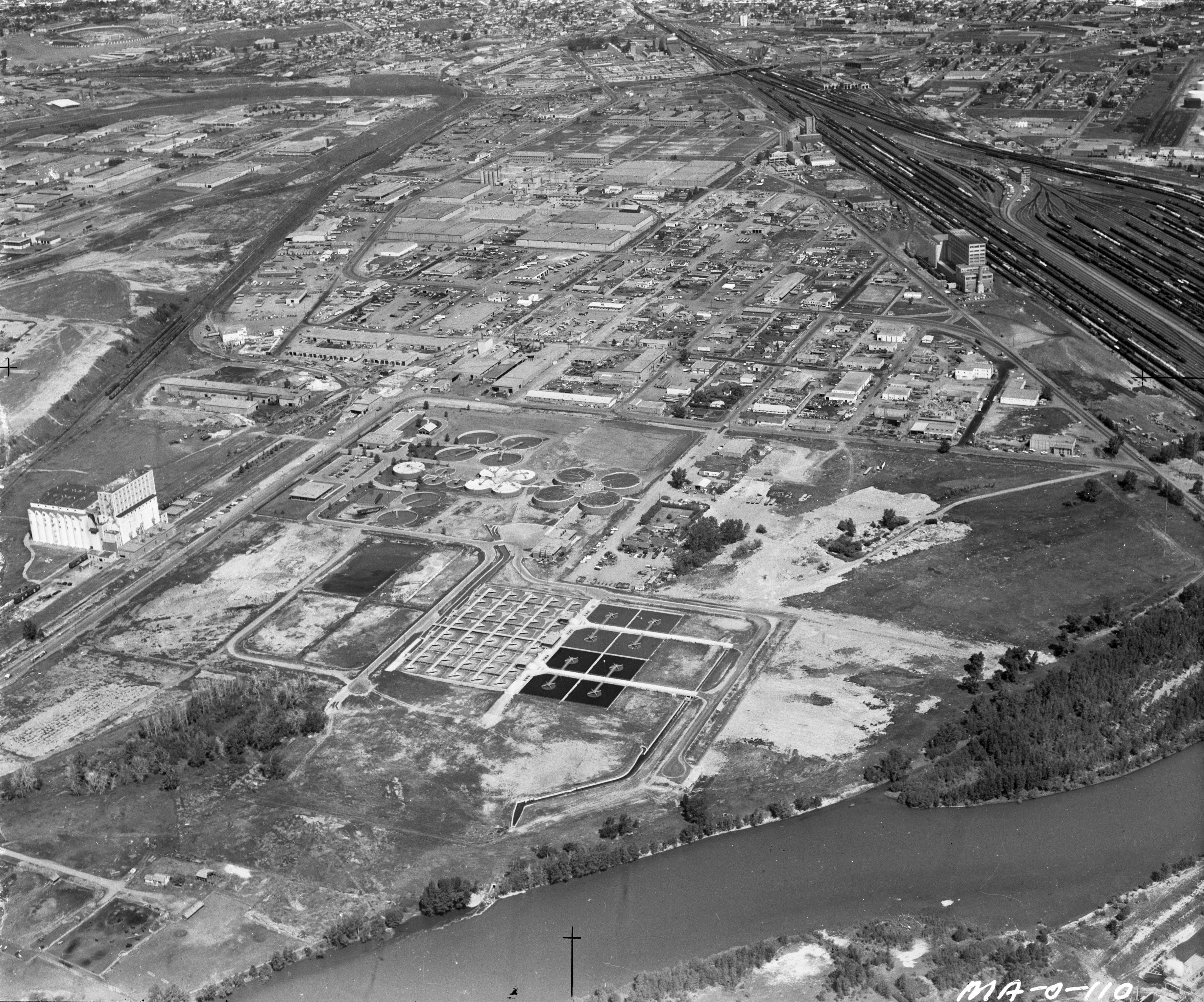
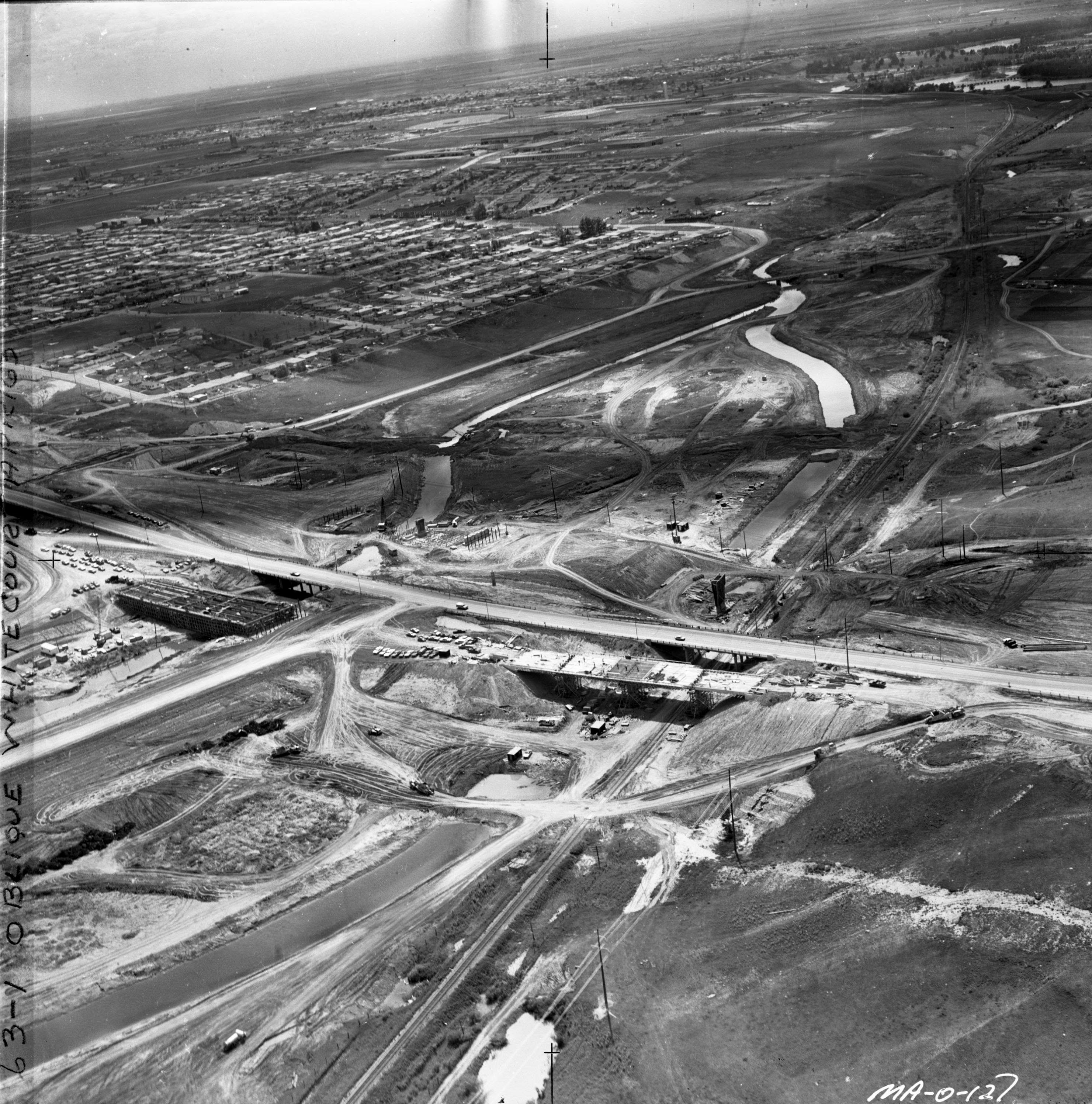
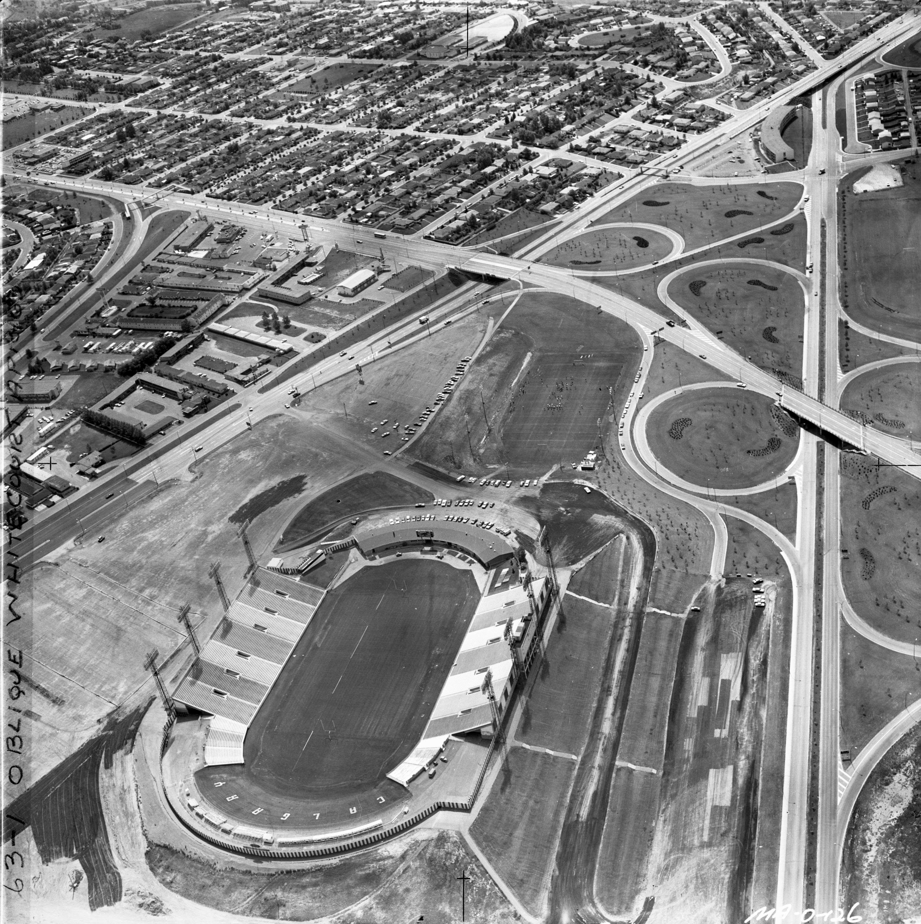
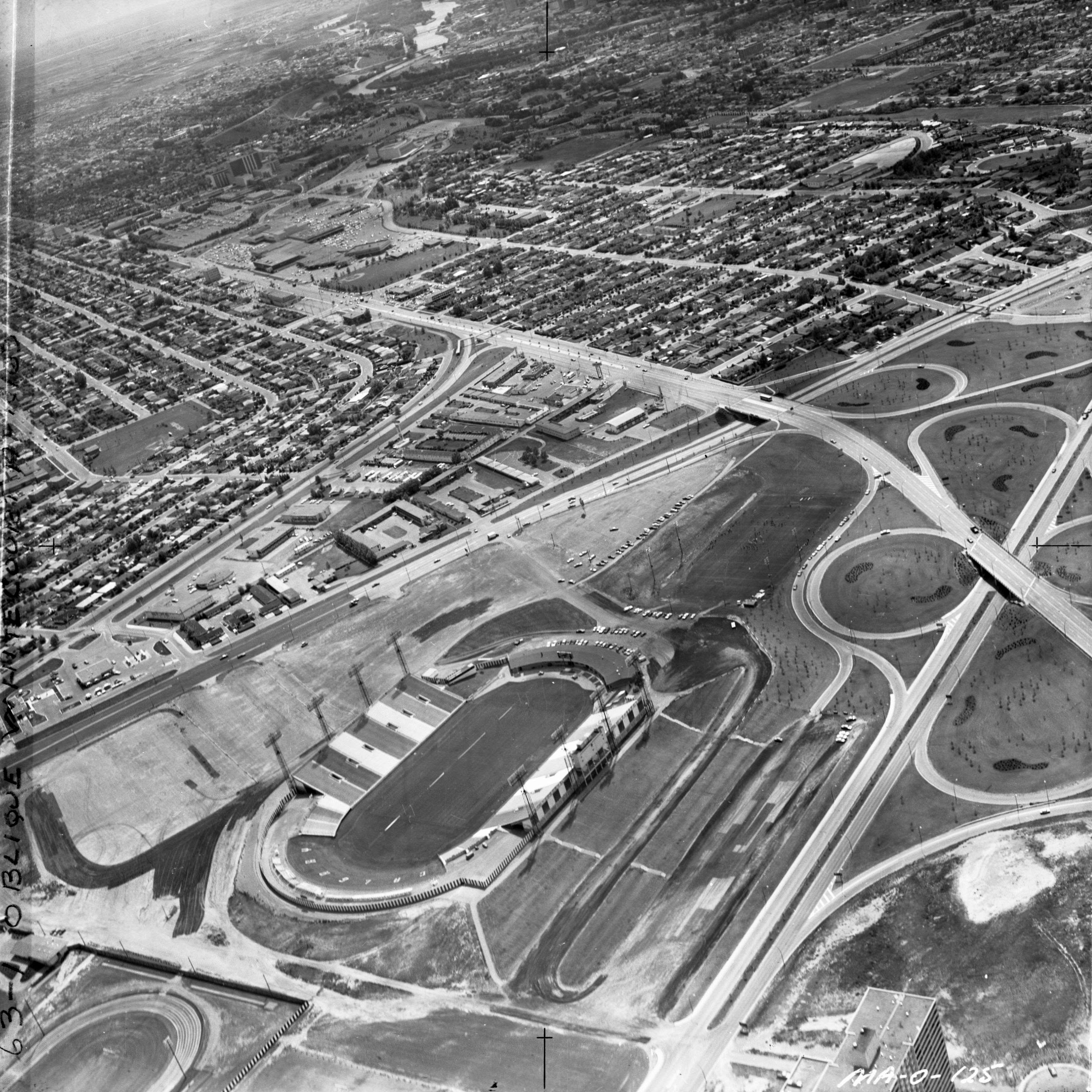
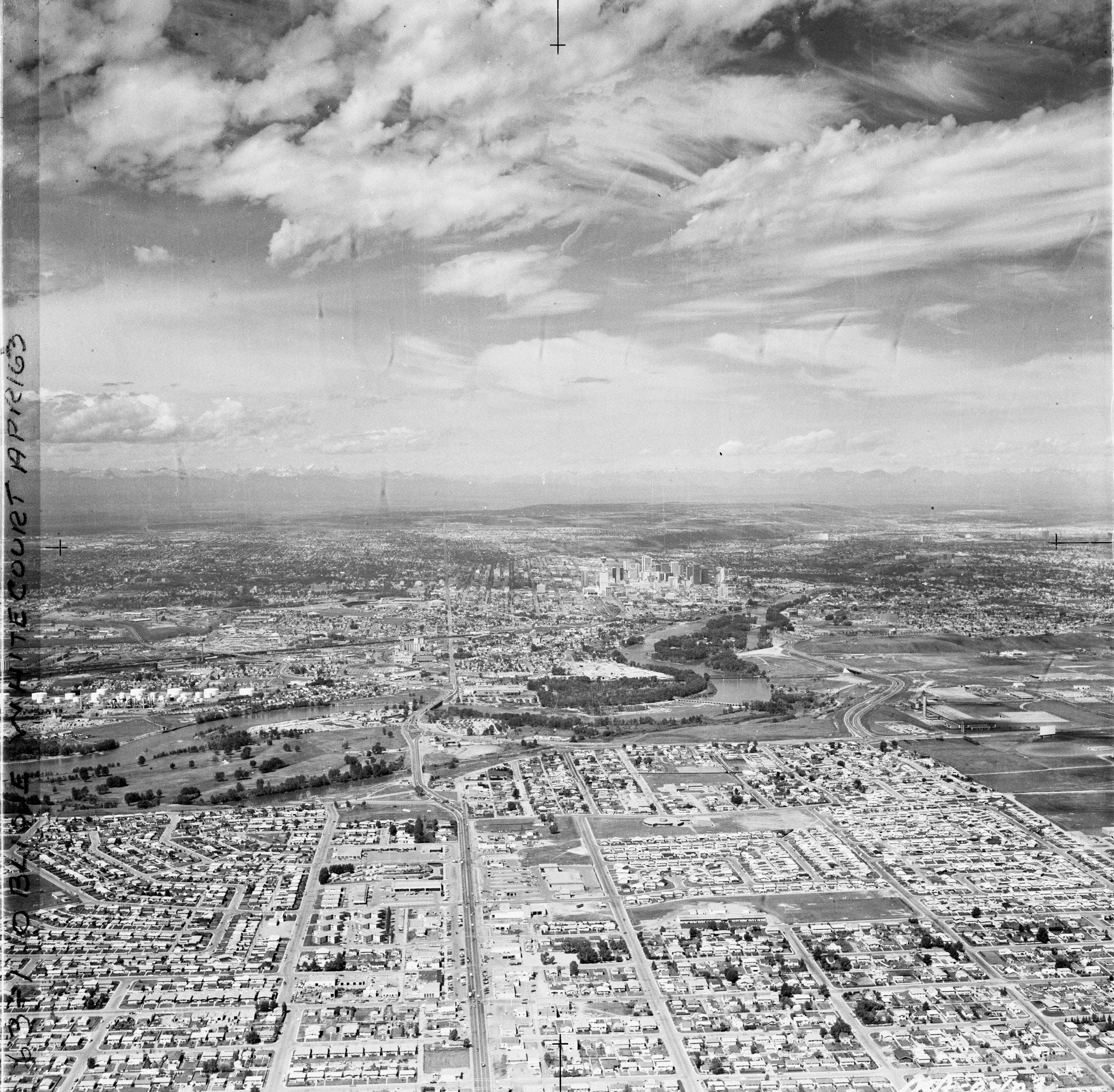
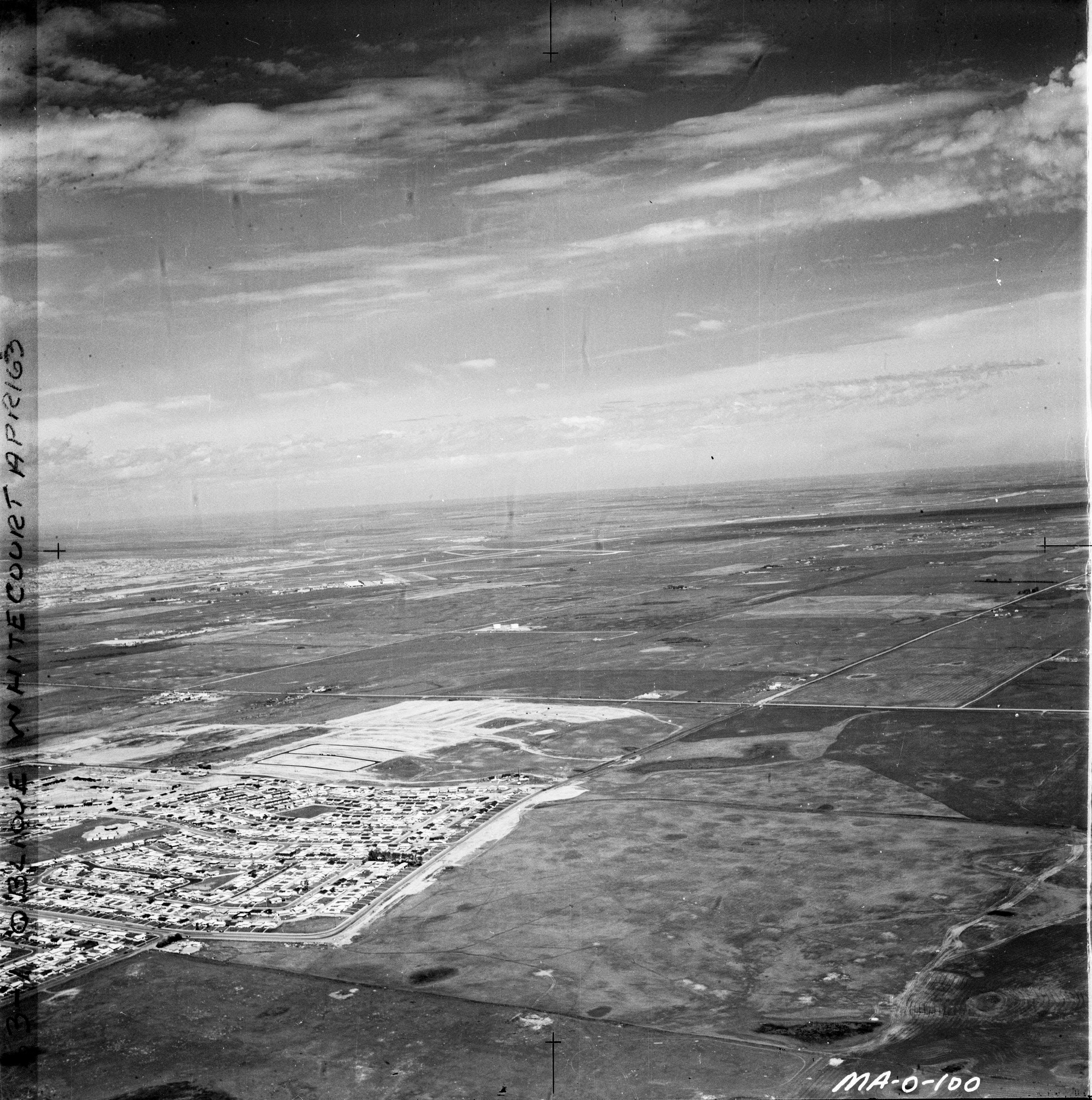
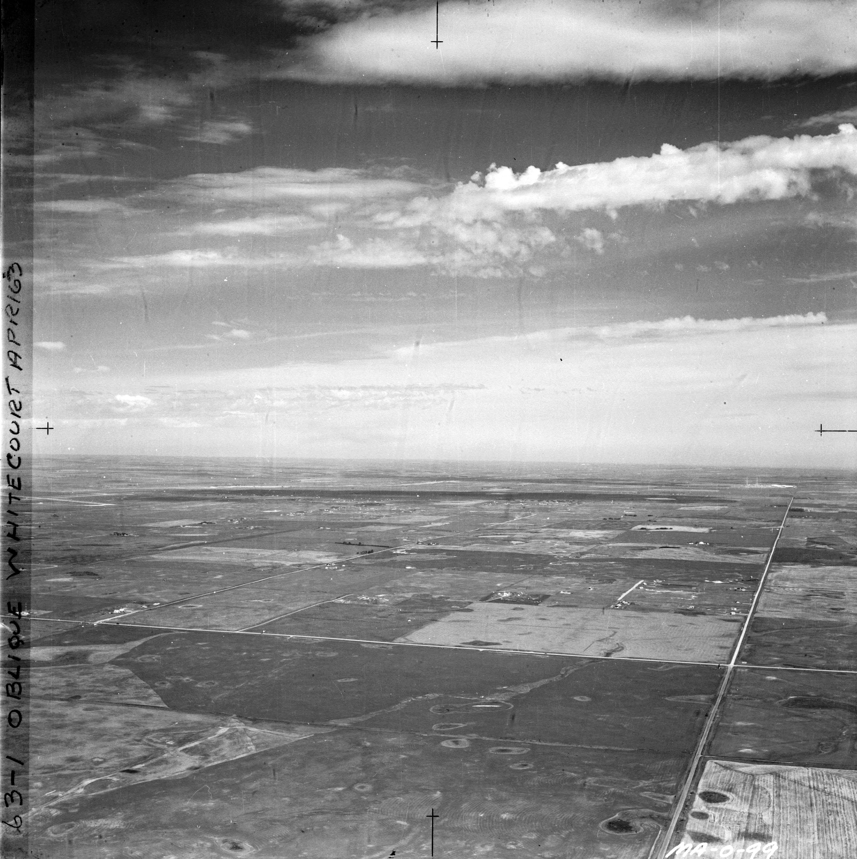
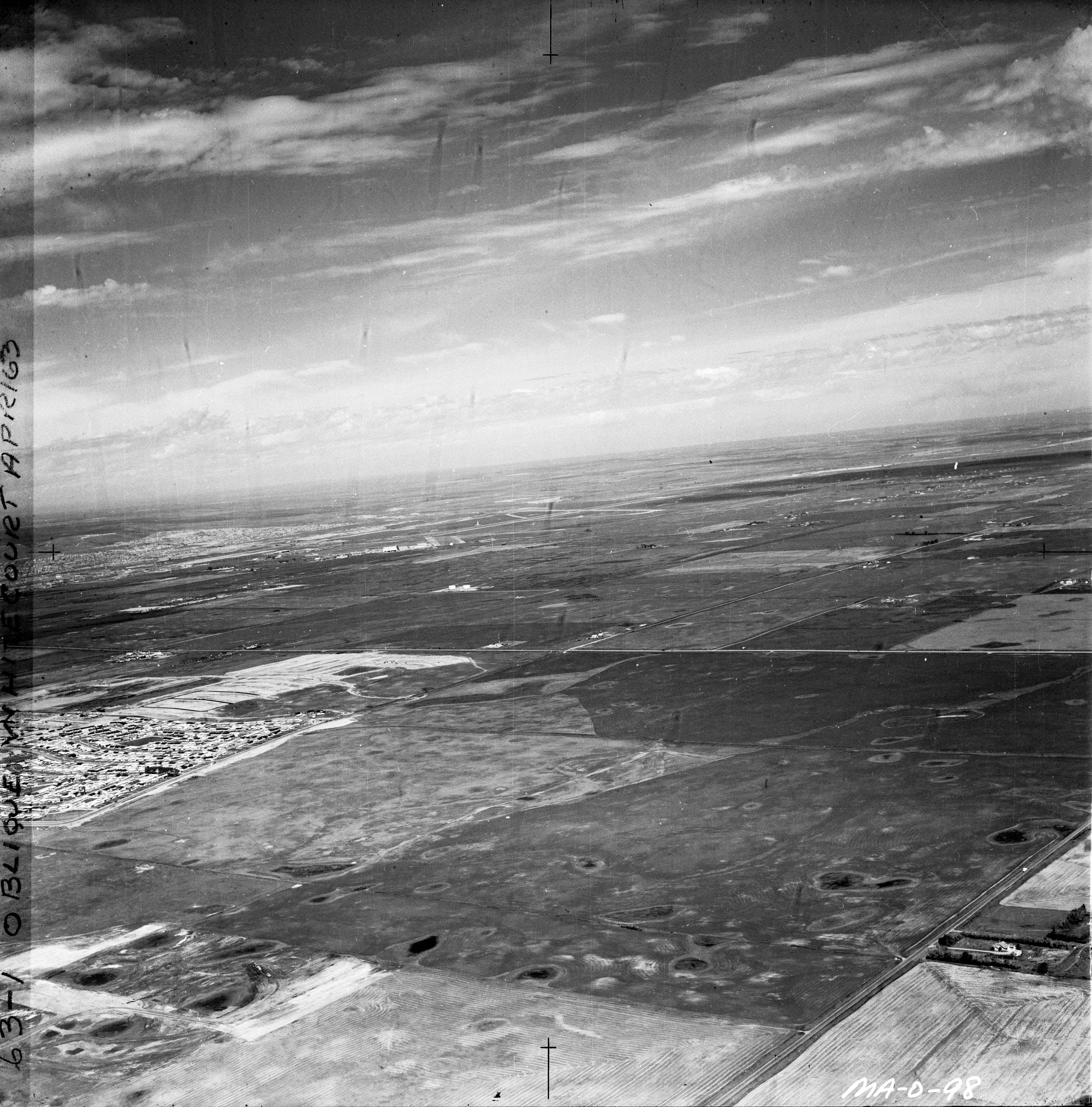
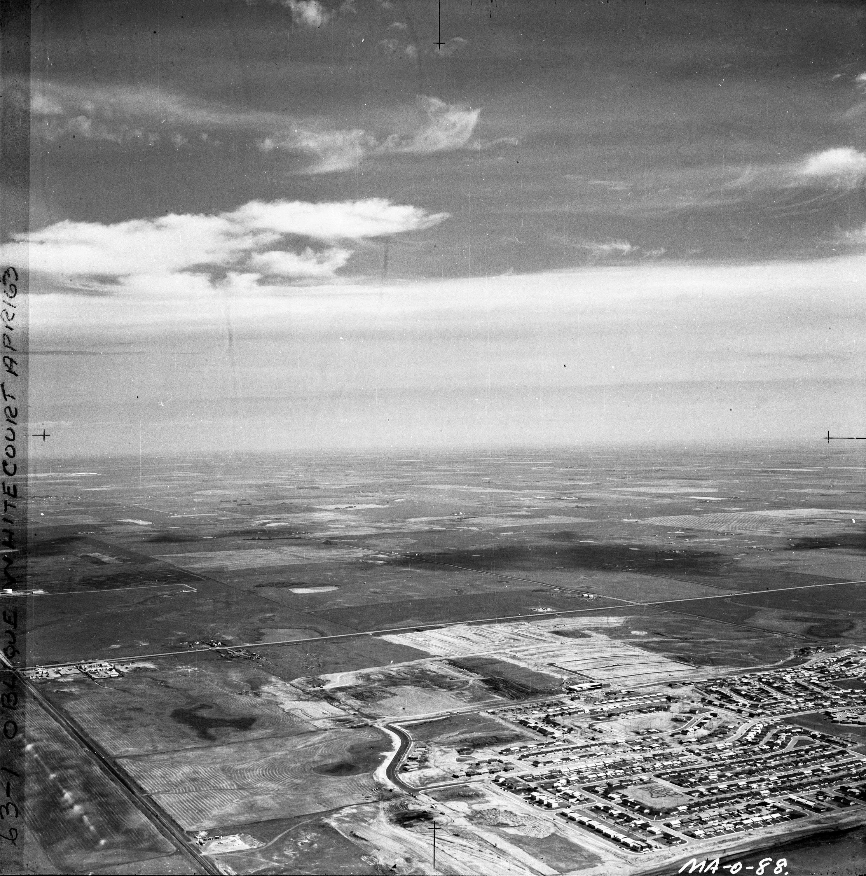
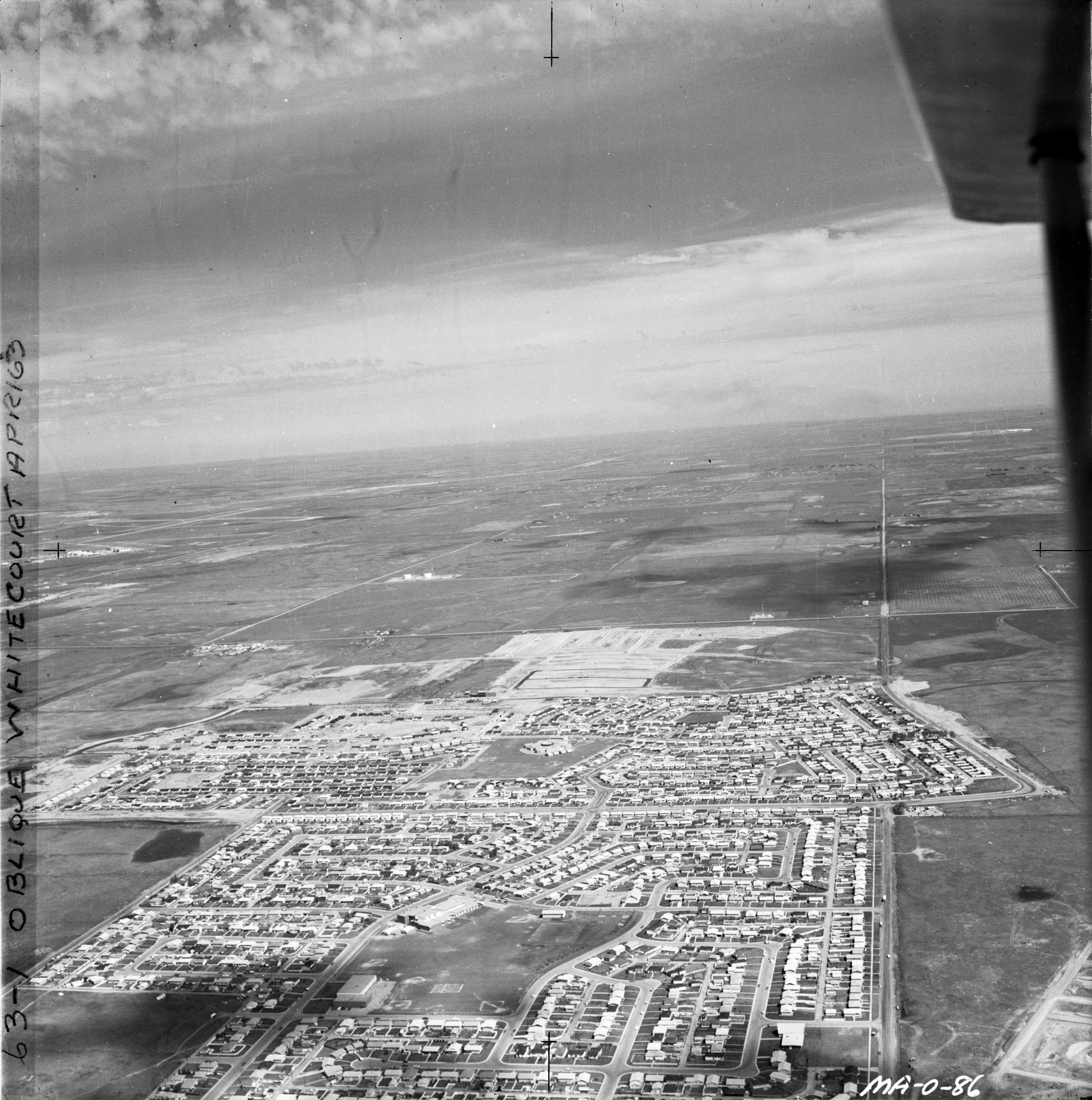
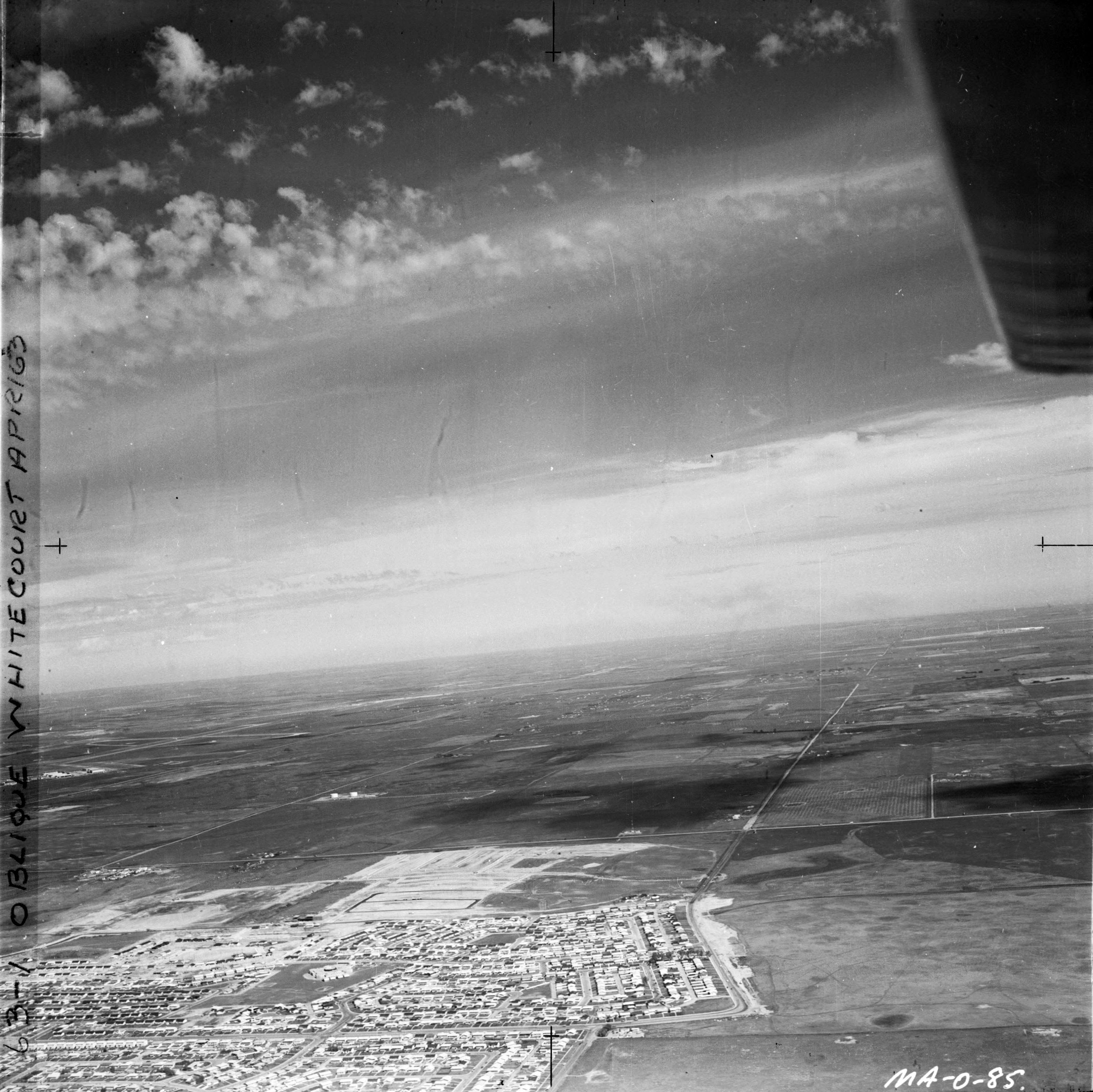
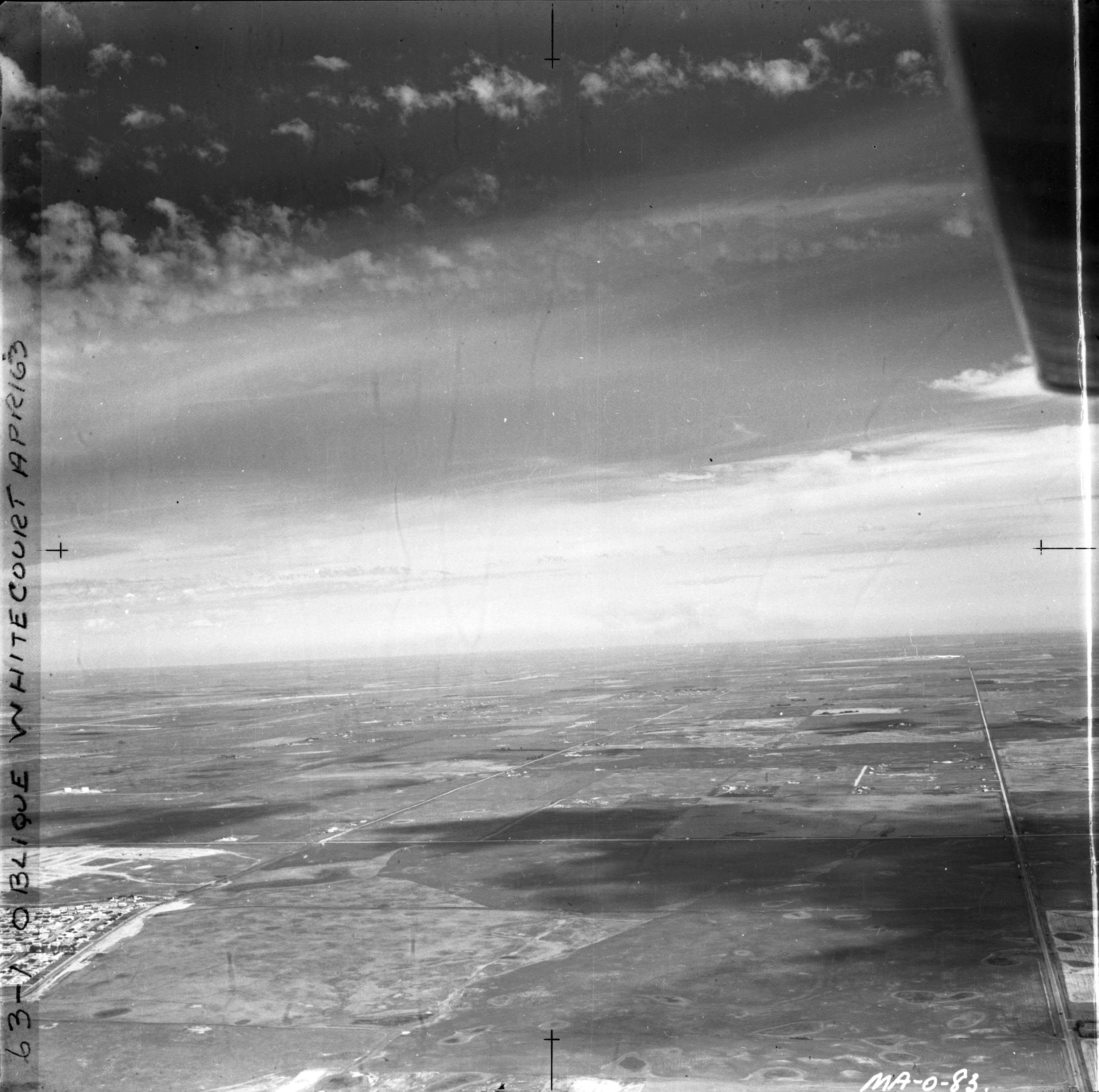
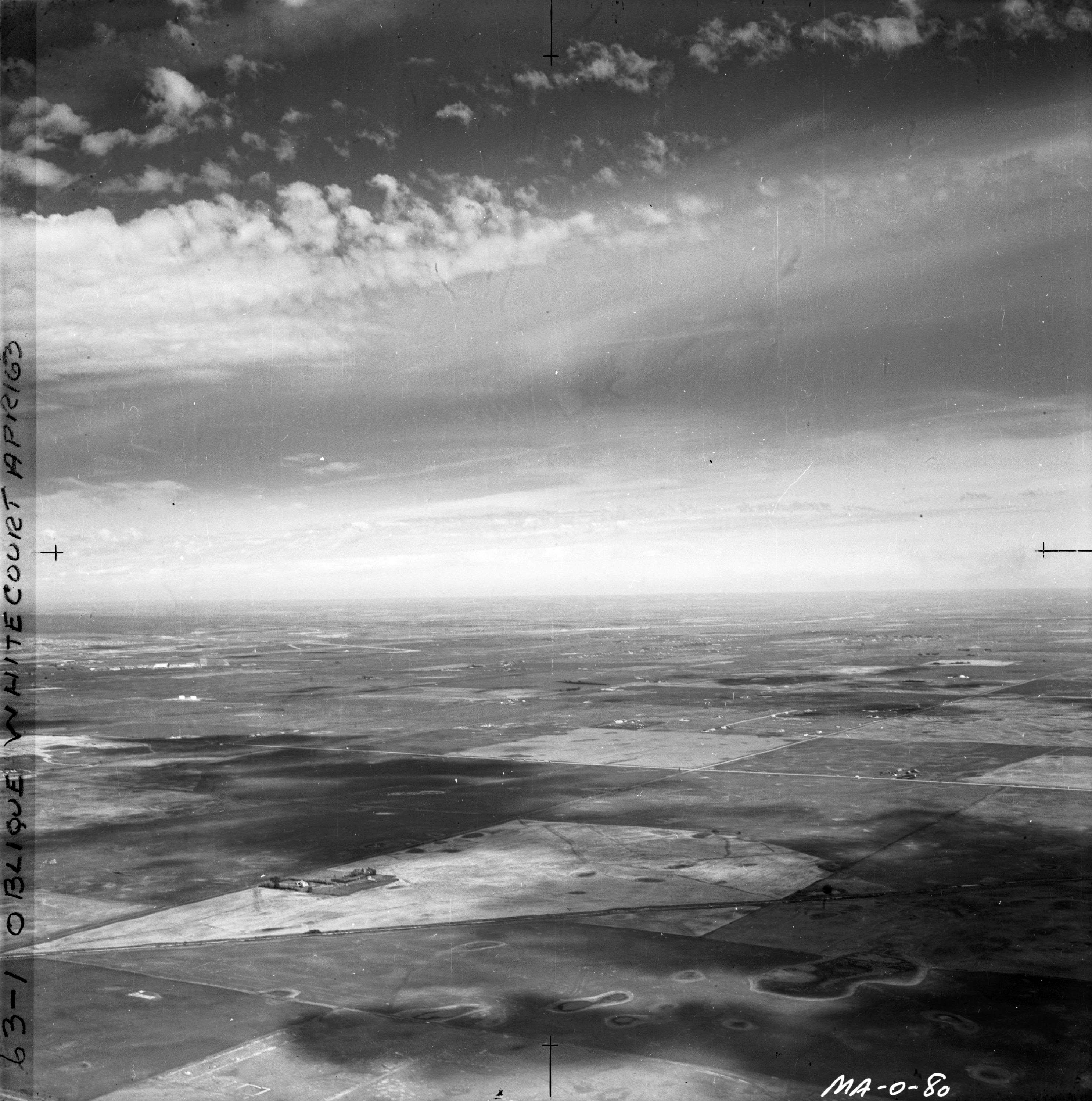
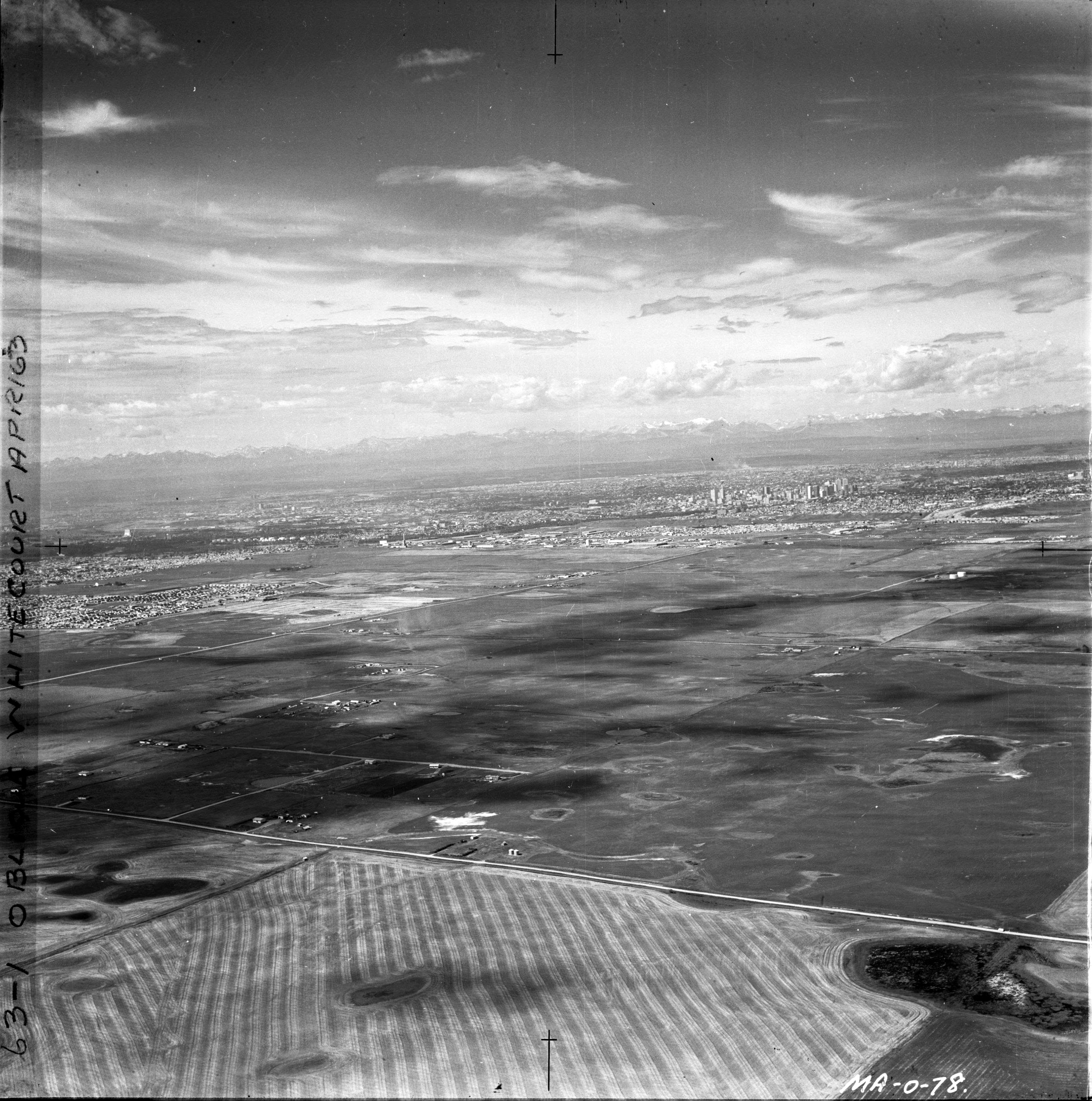
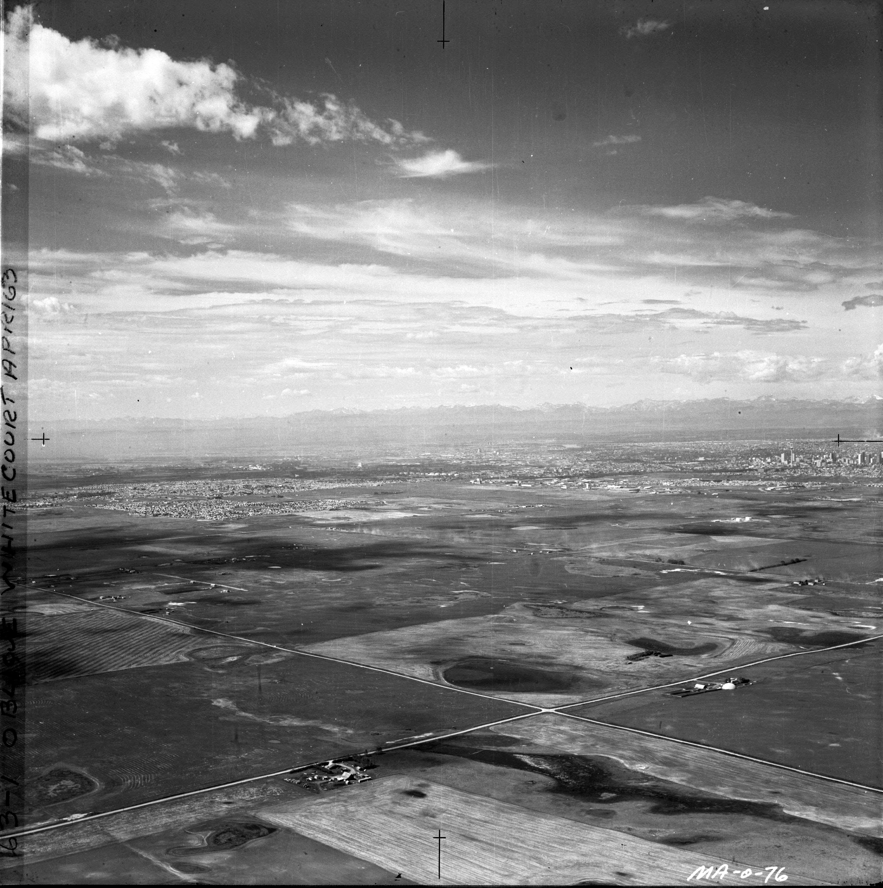
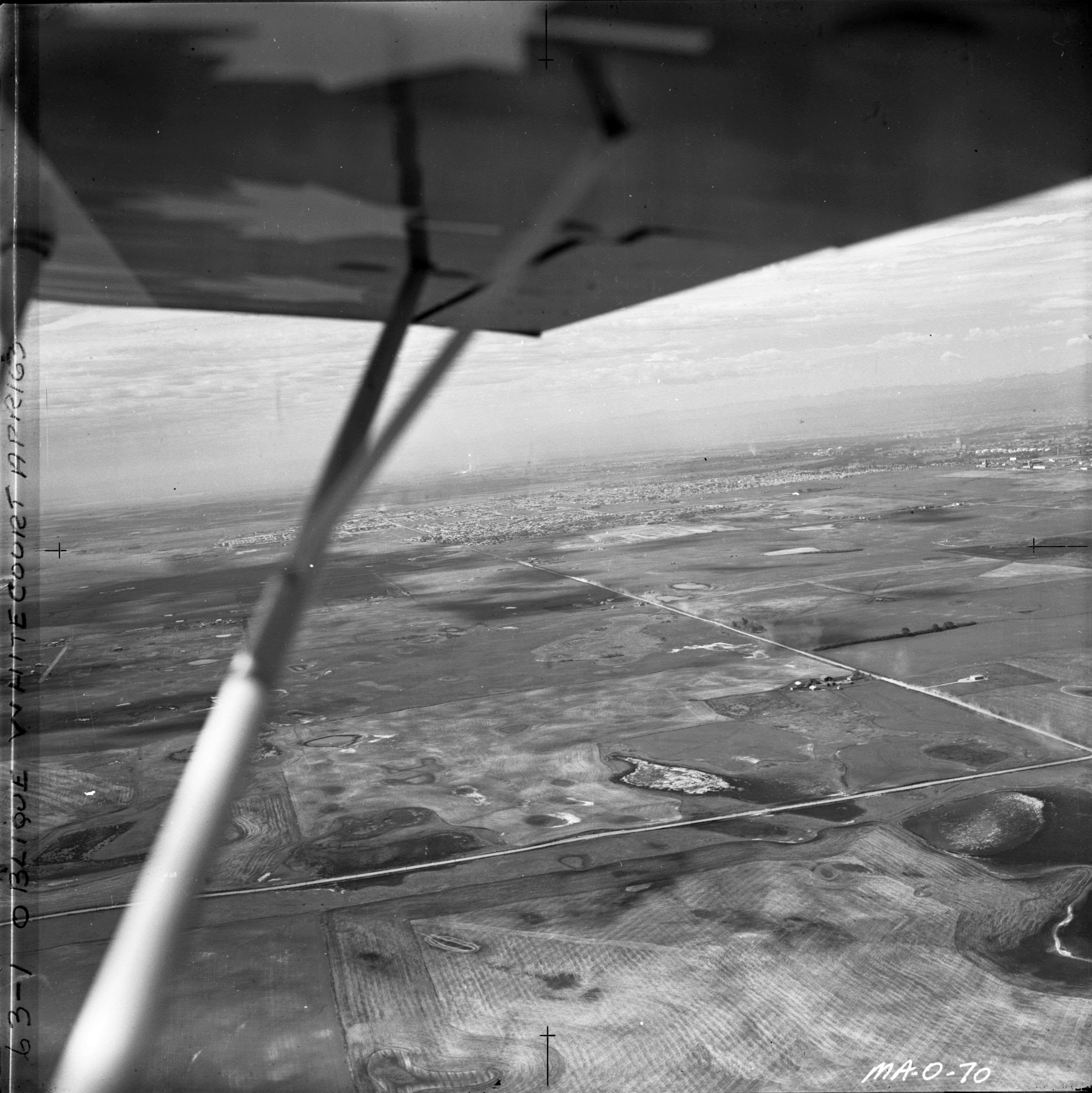
MachAir Oblique Air Photos of Calgary 1970s Collection

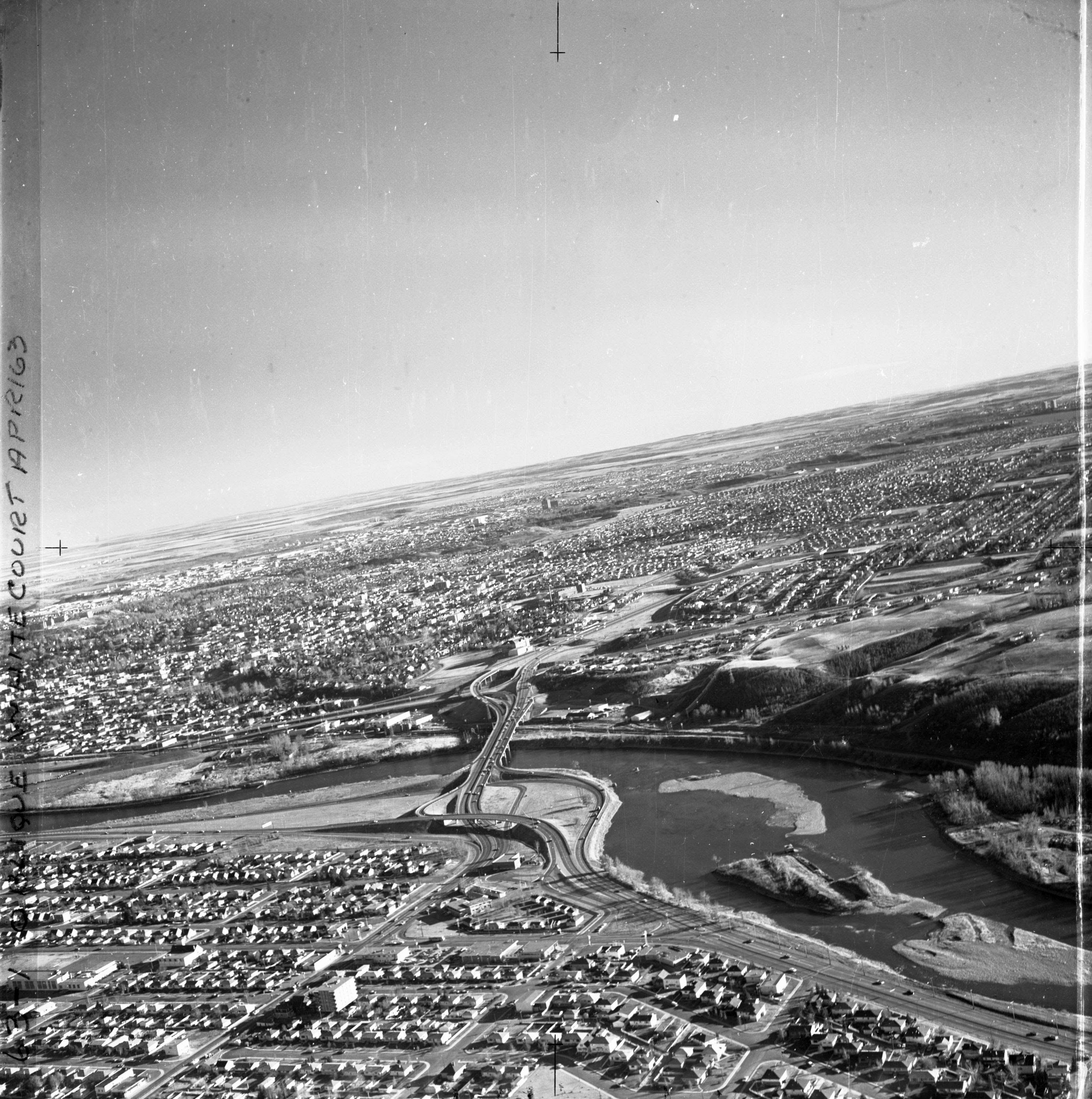
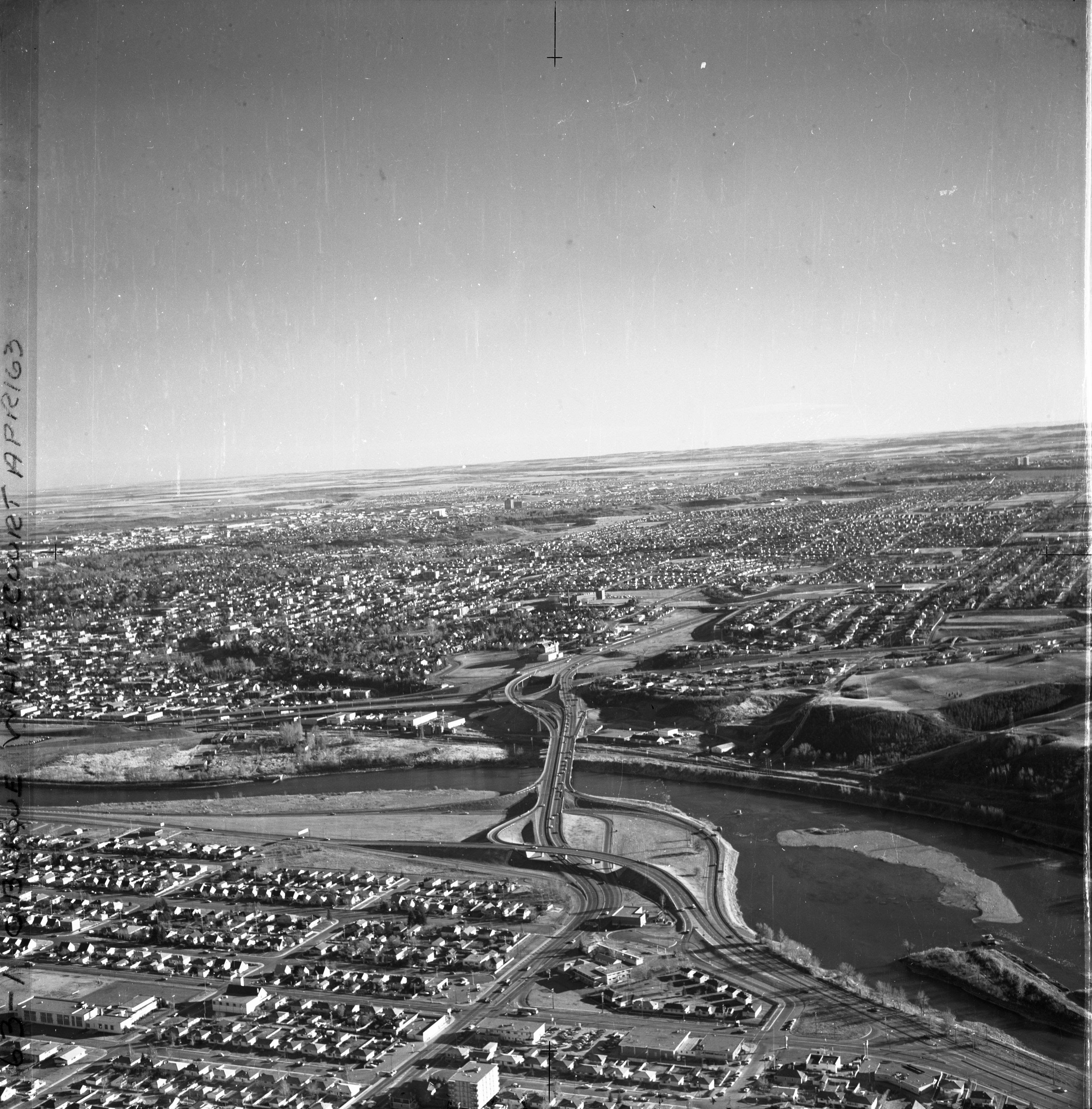
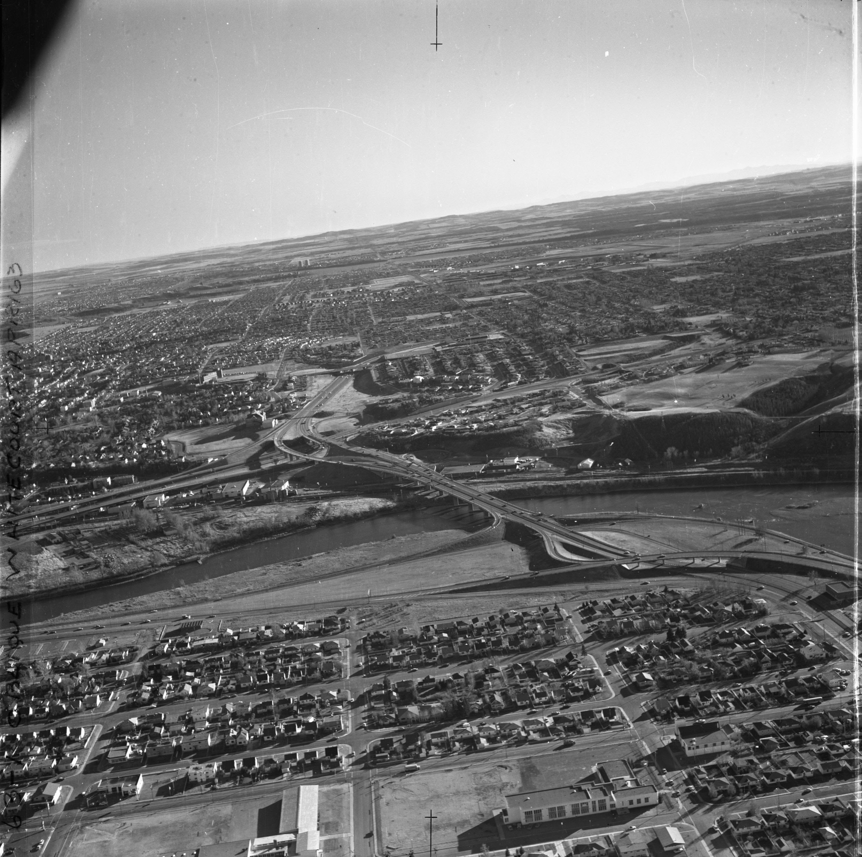
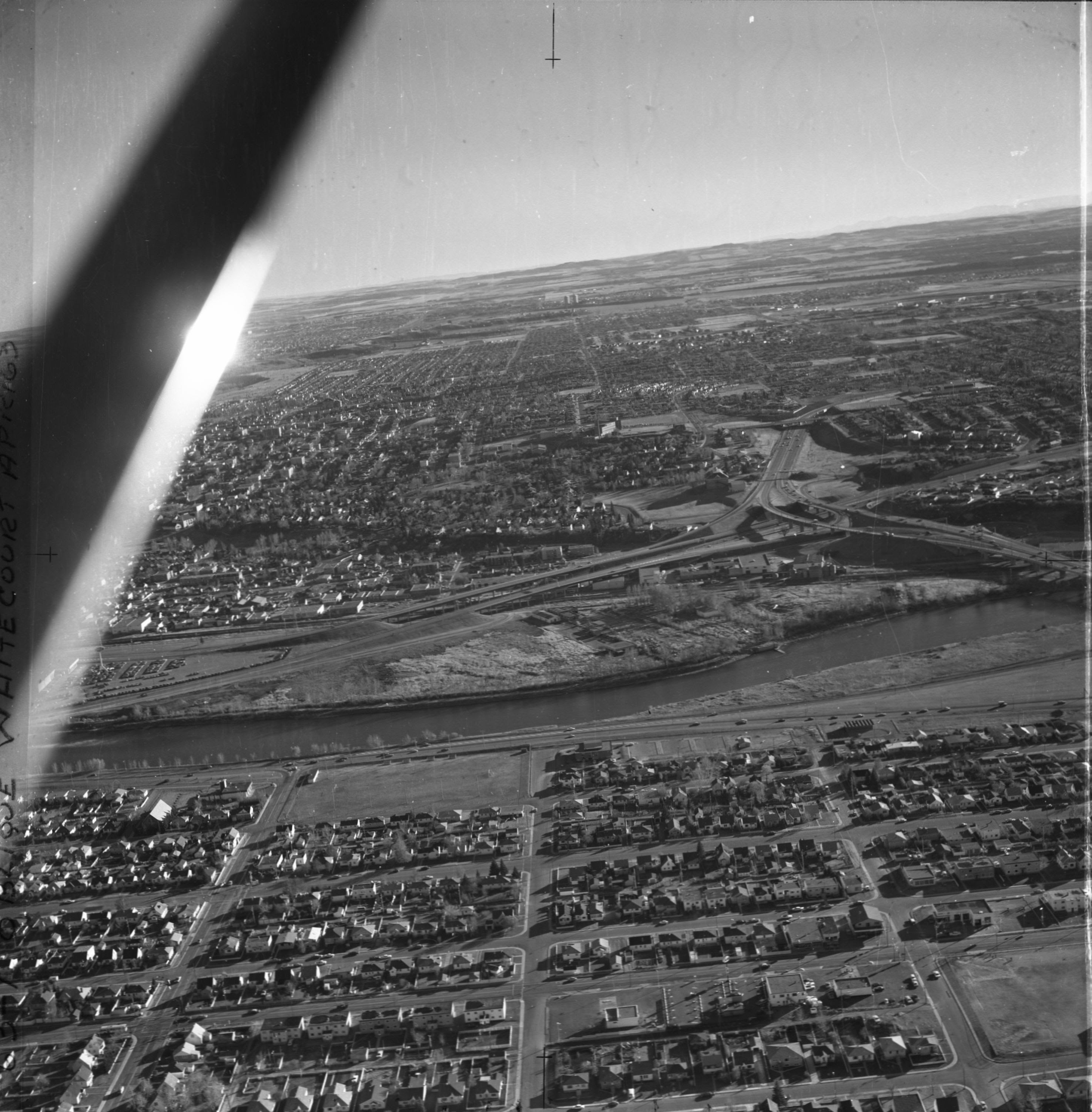
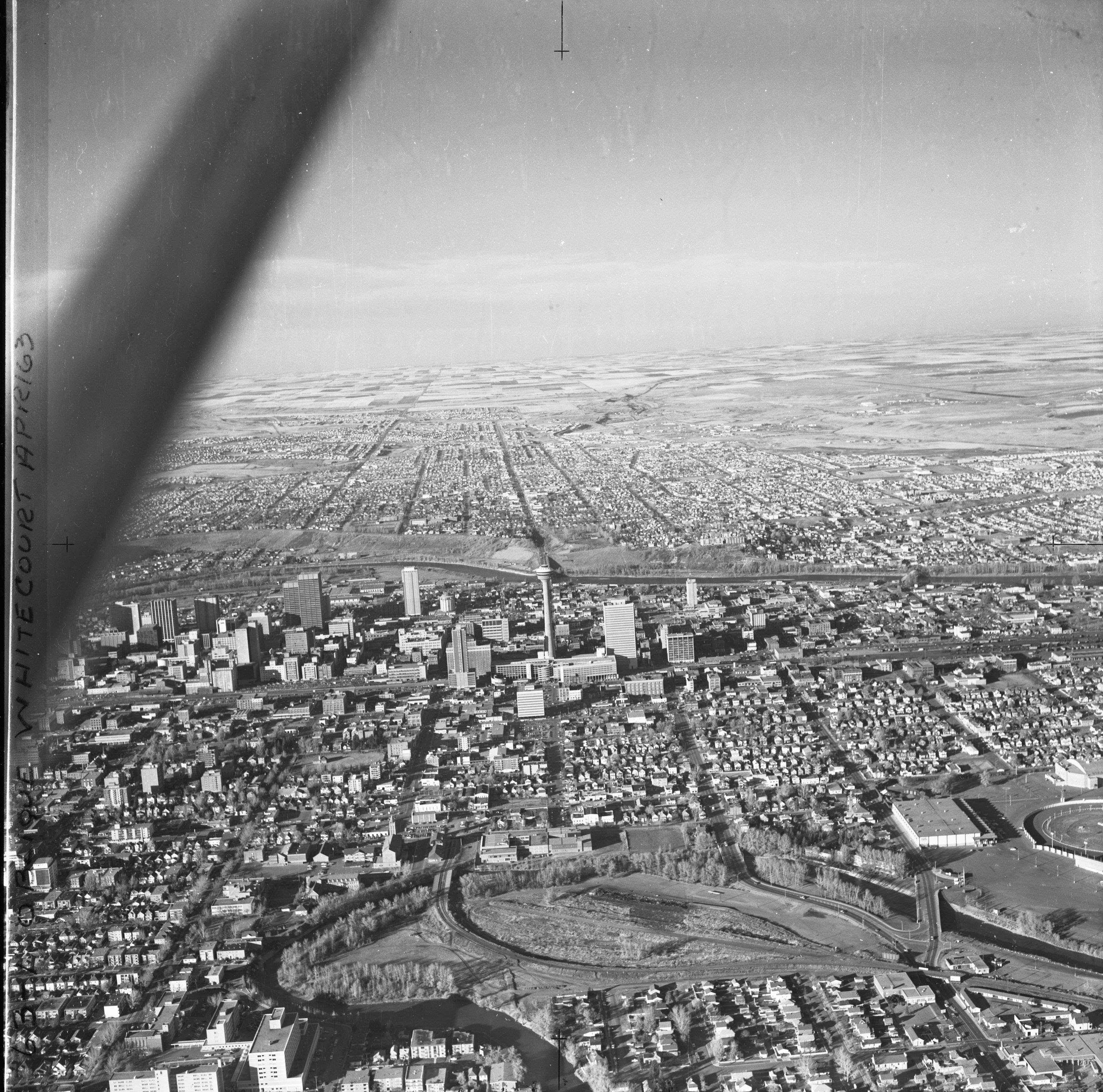
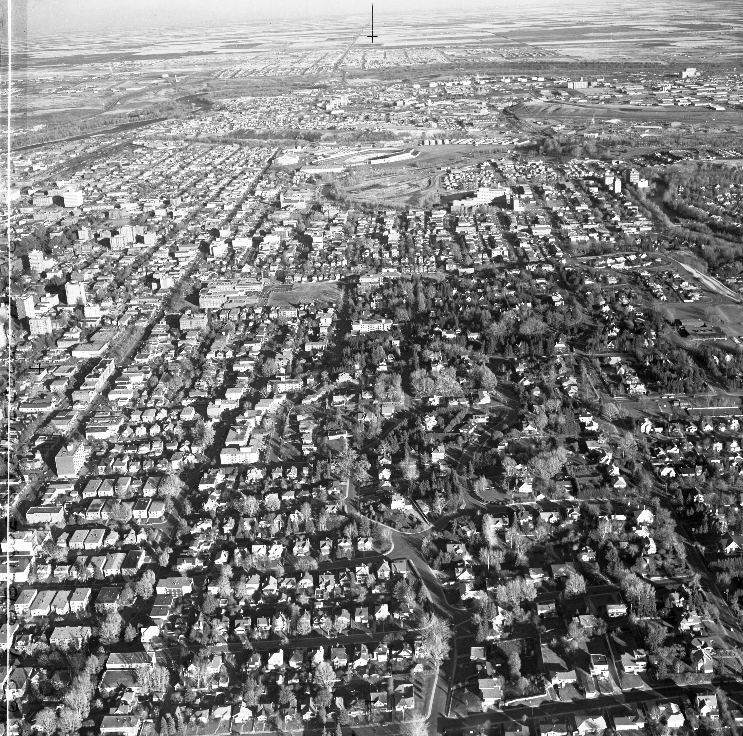
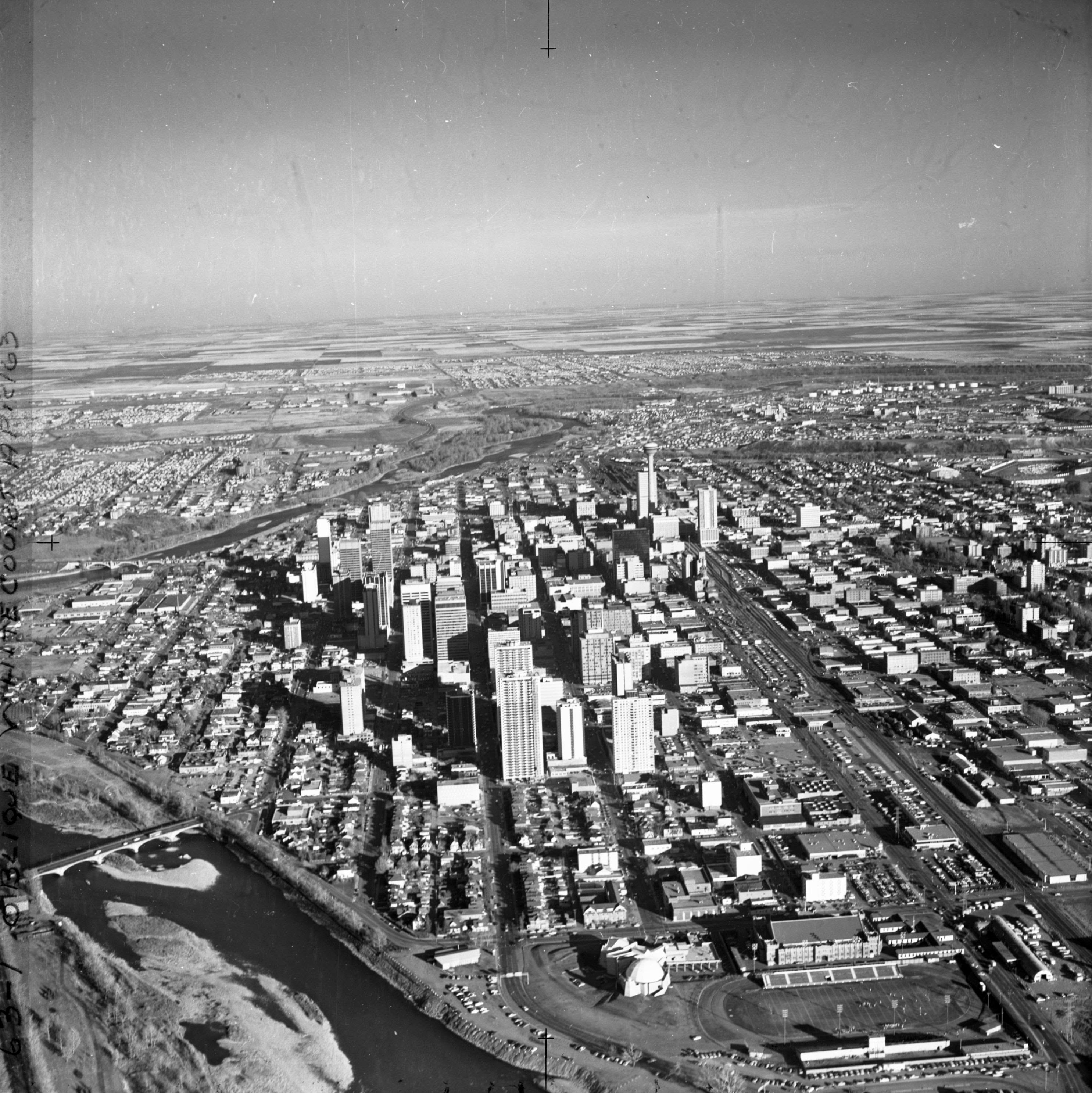
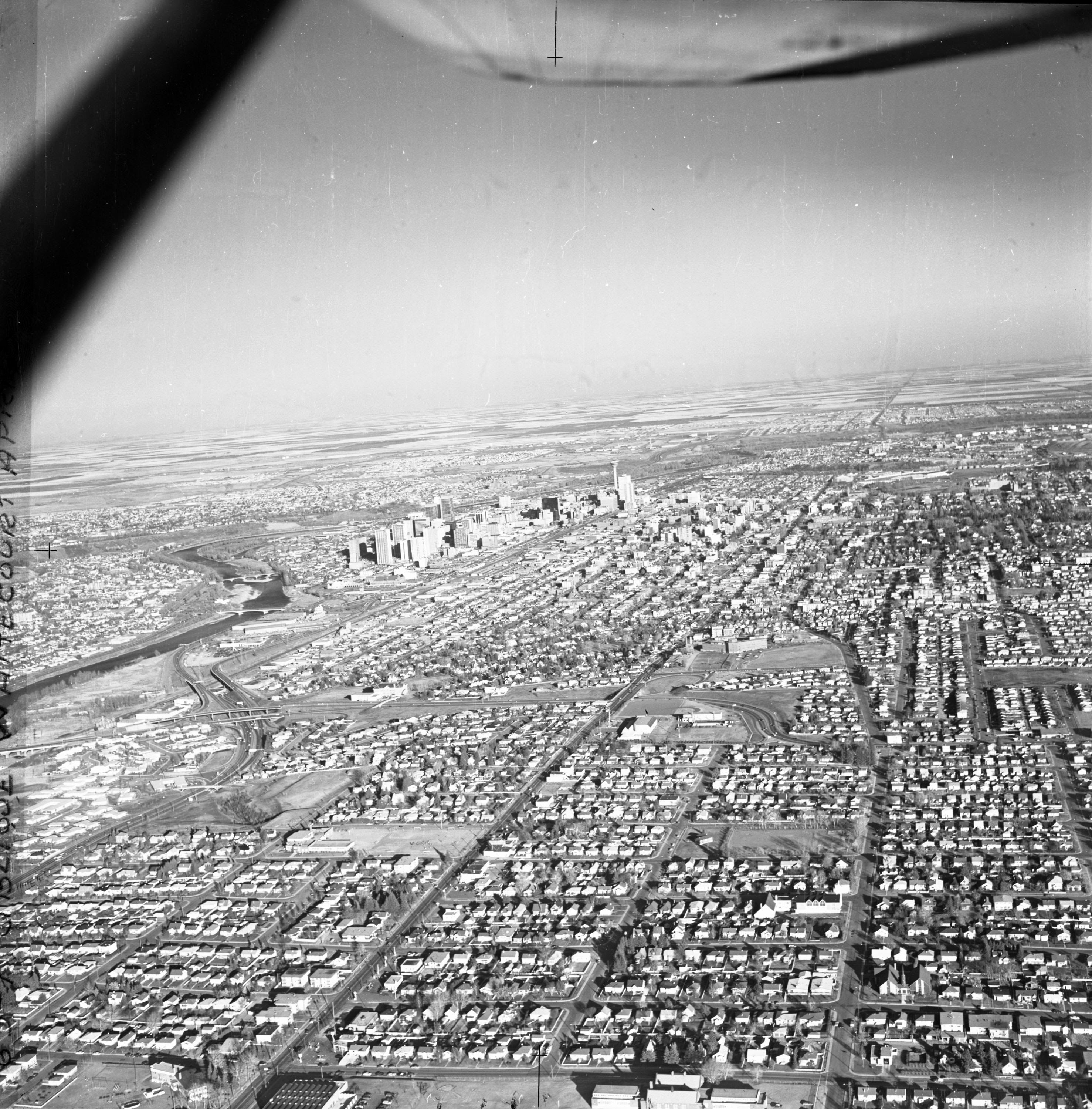
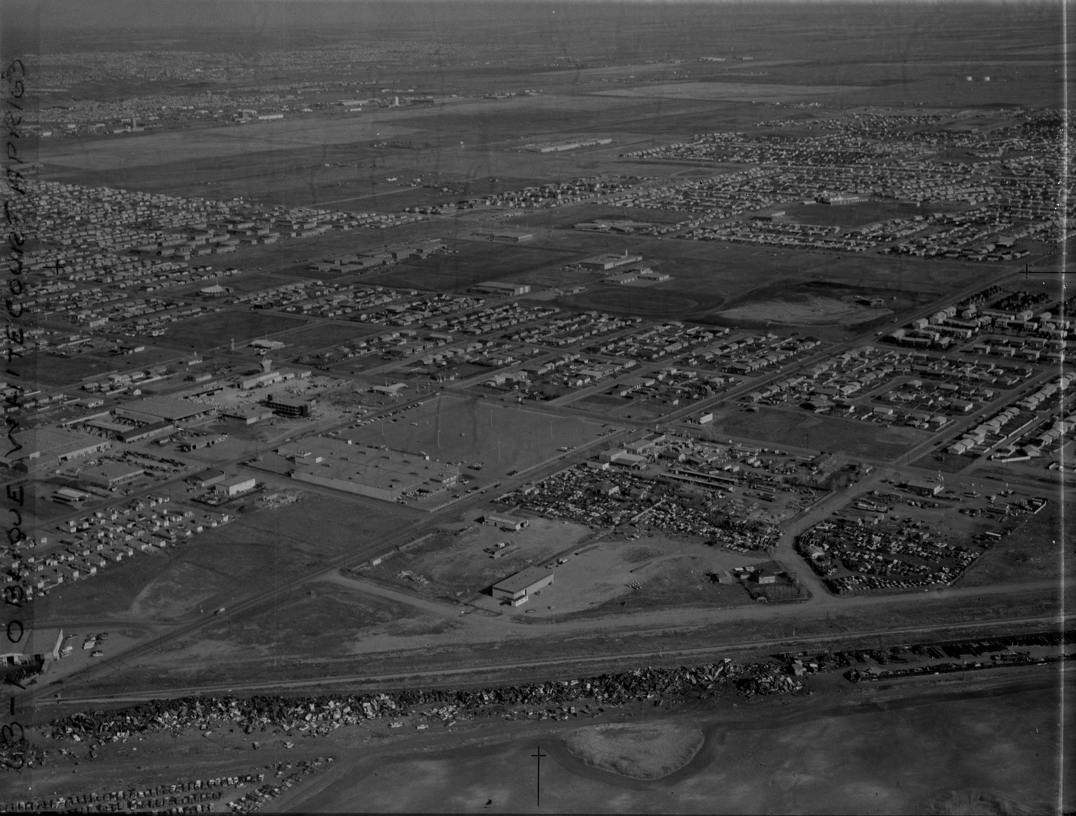
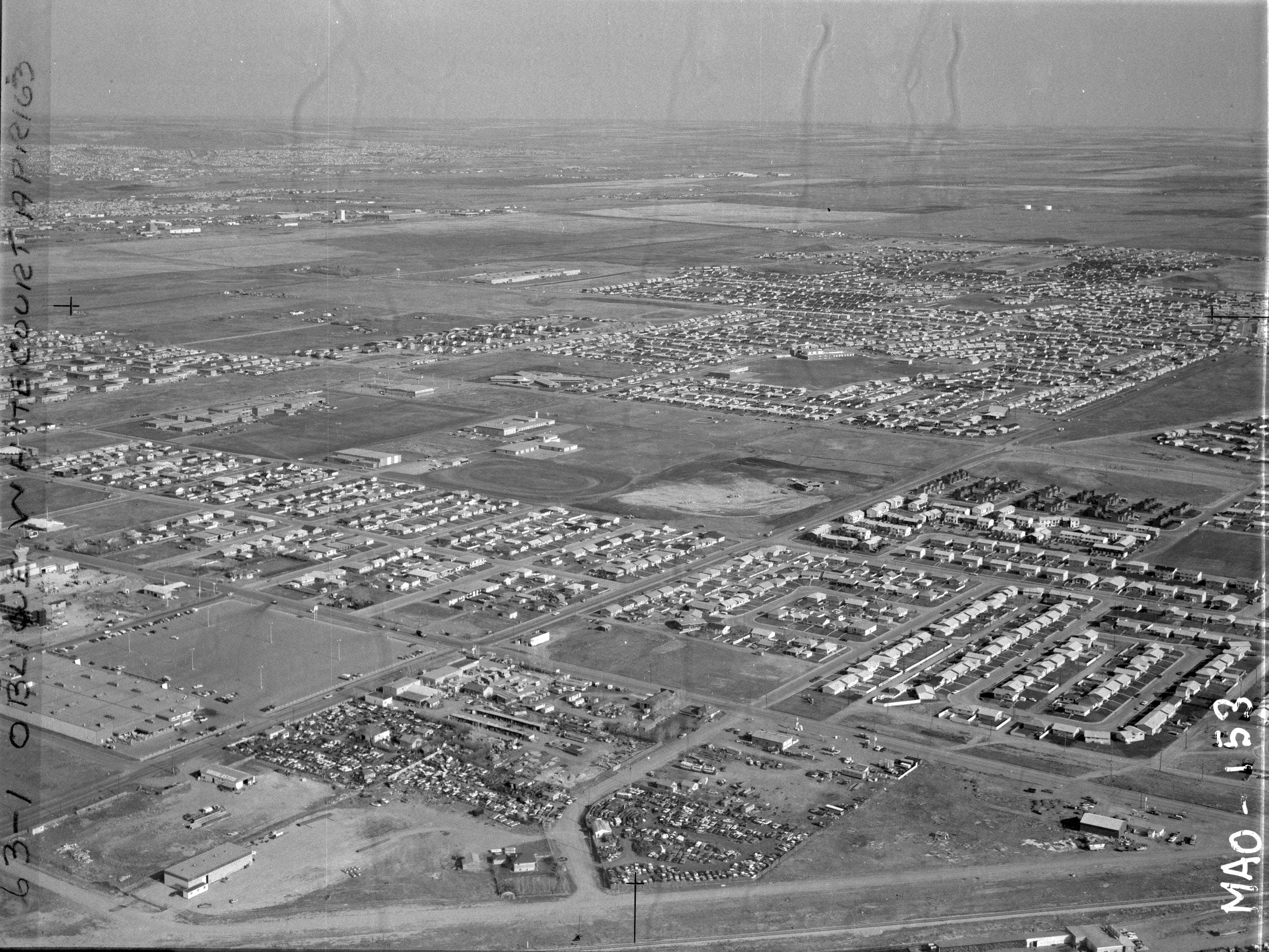
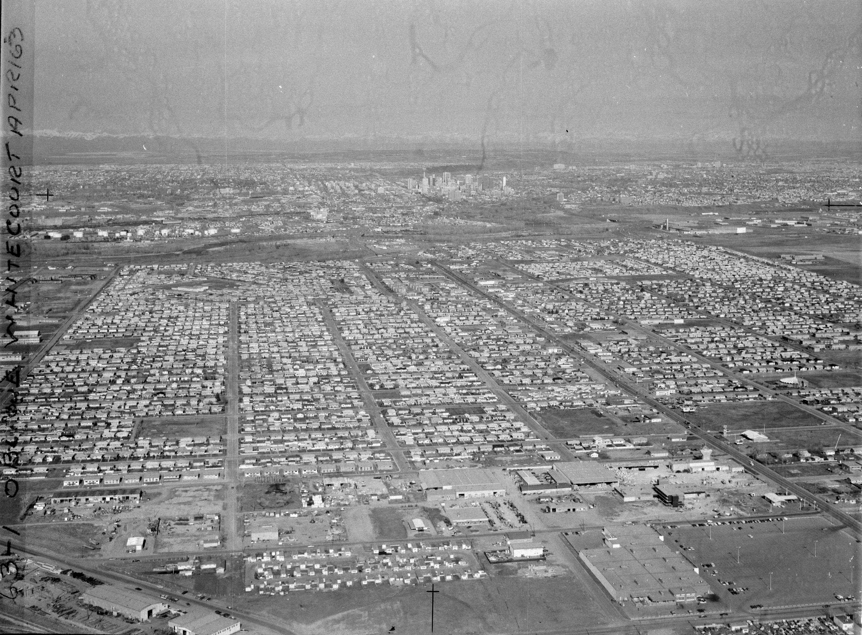
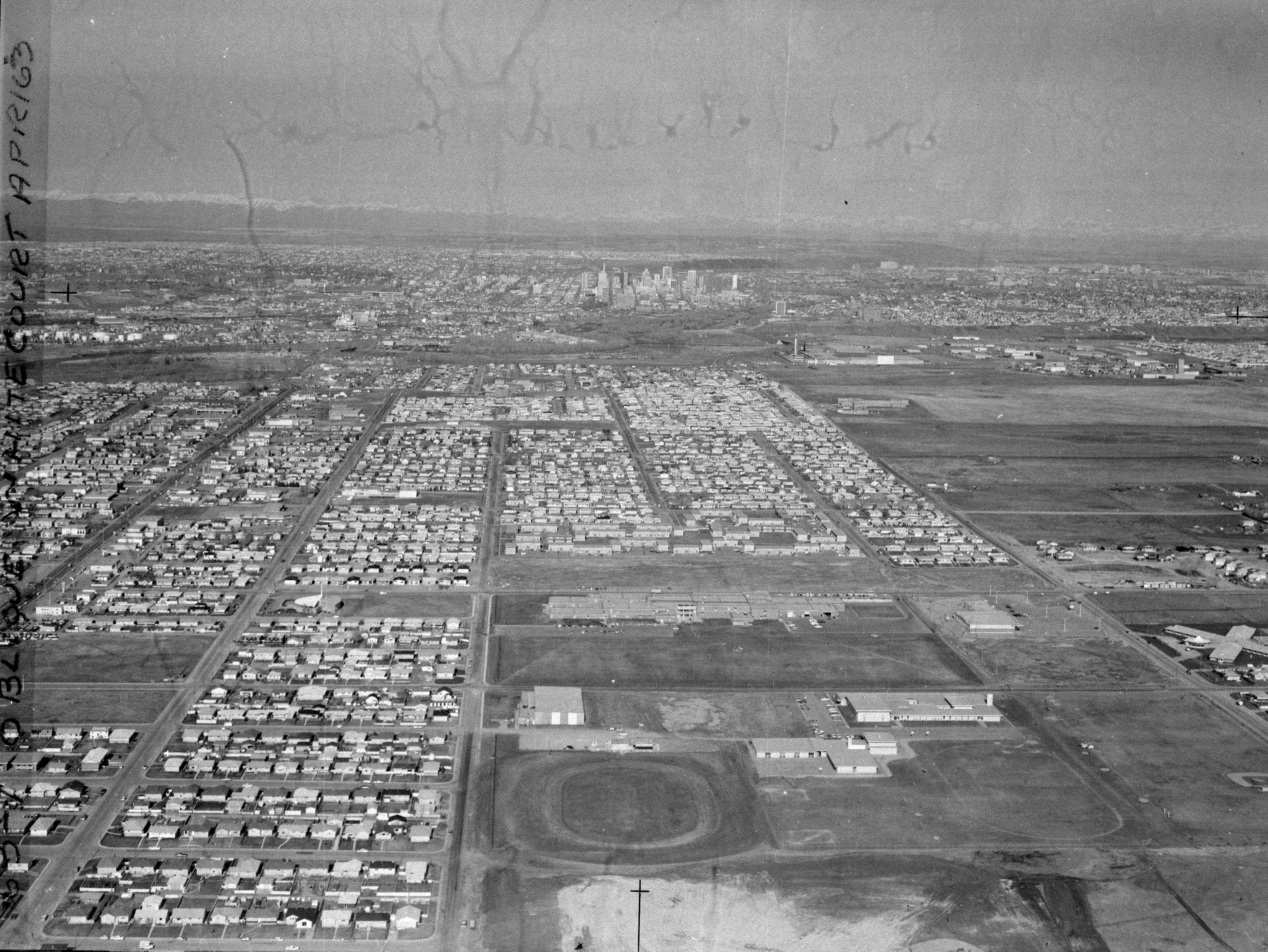
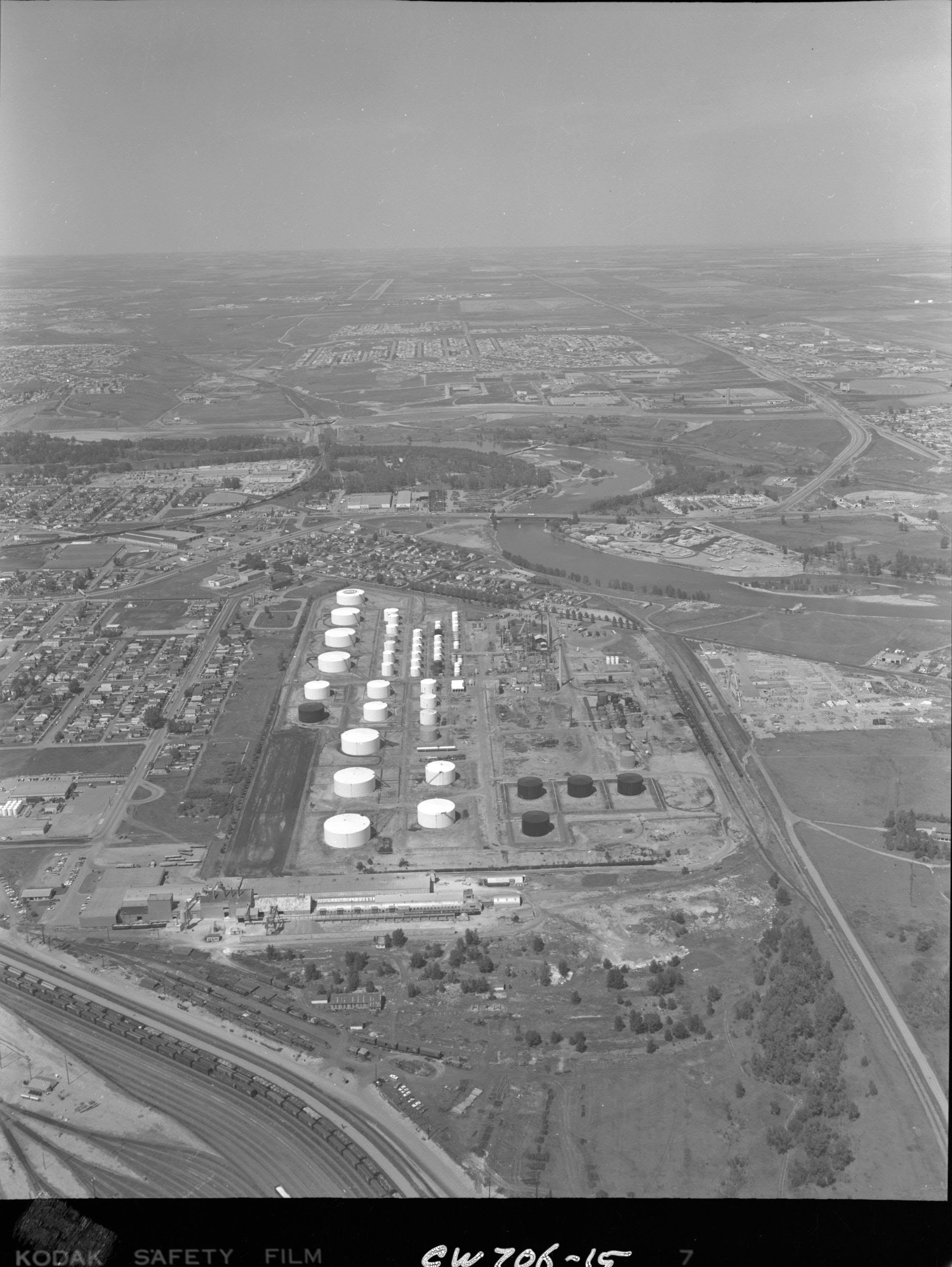
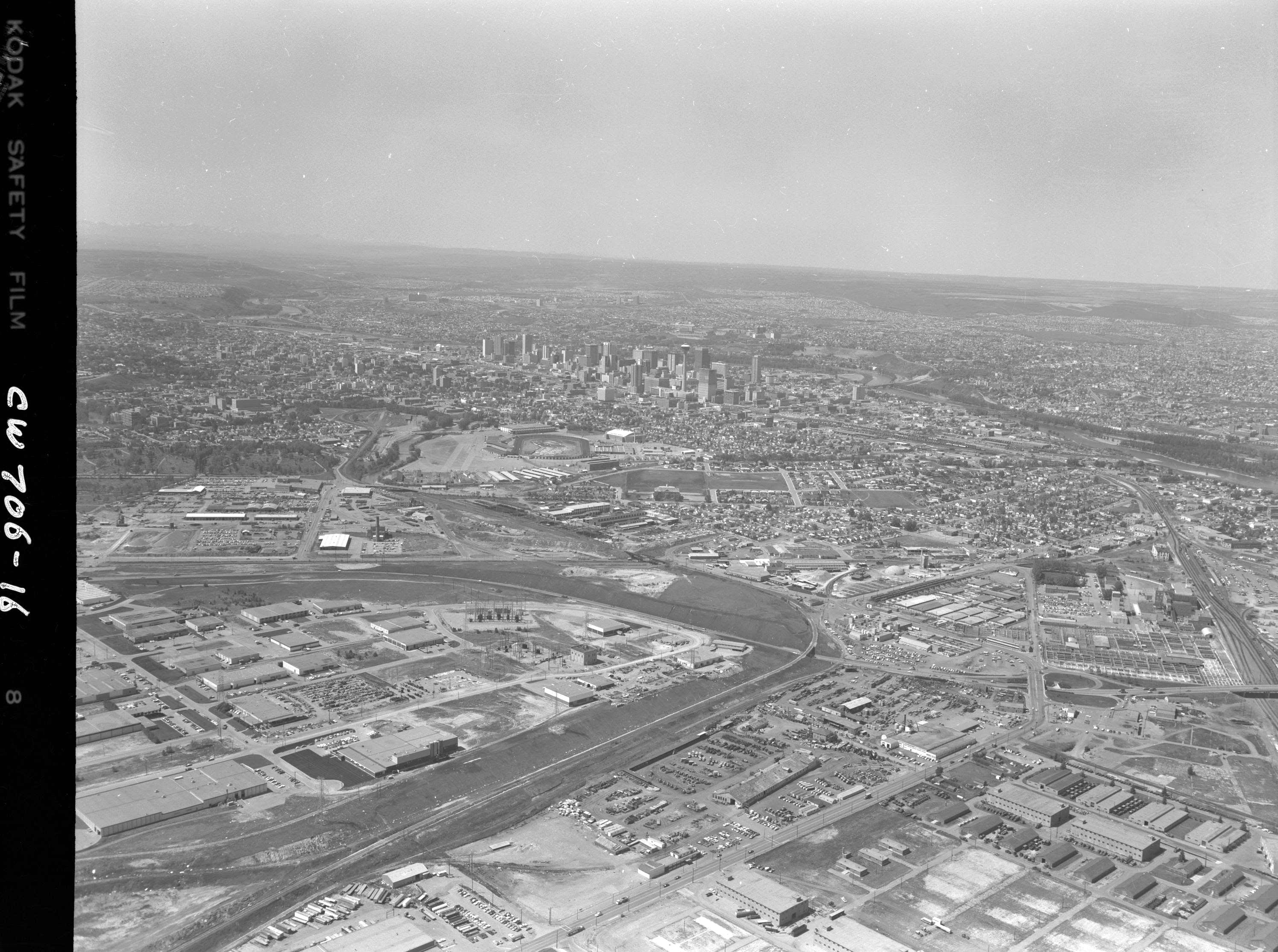
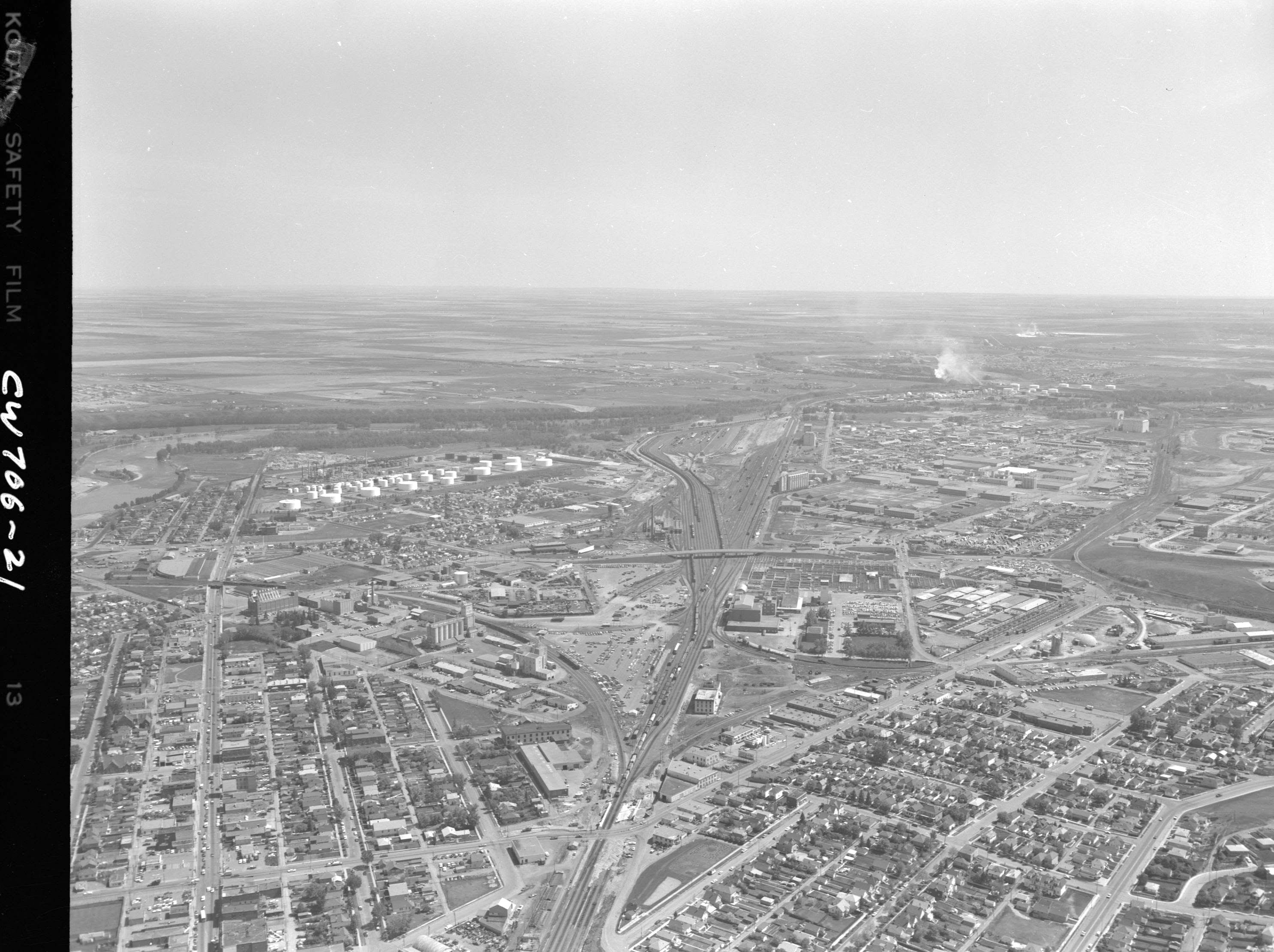
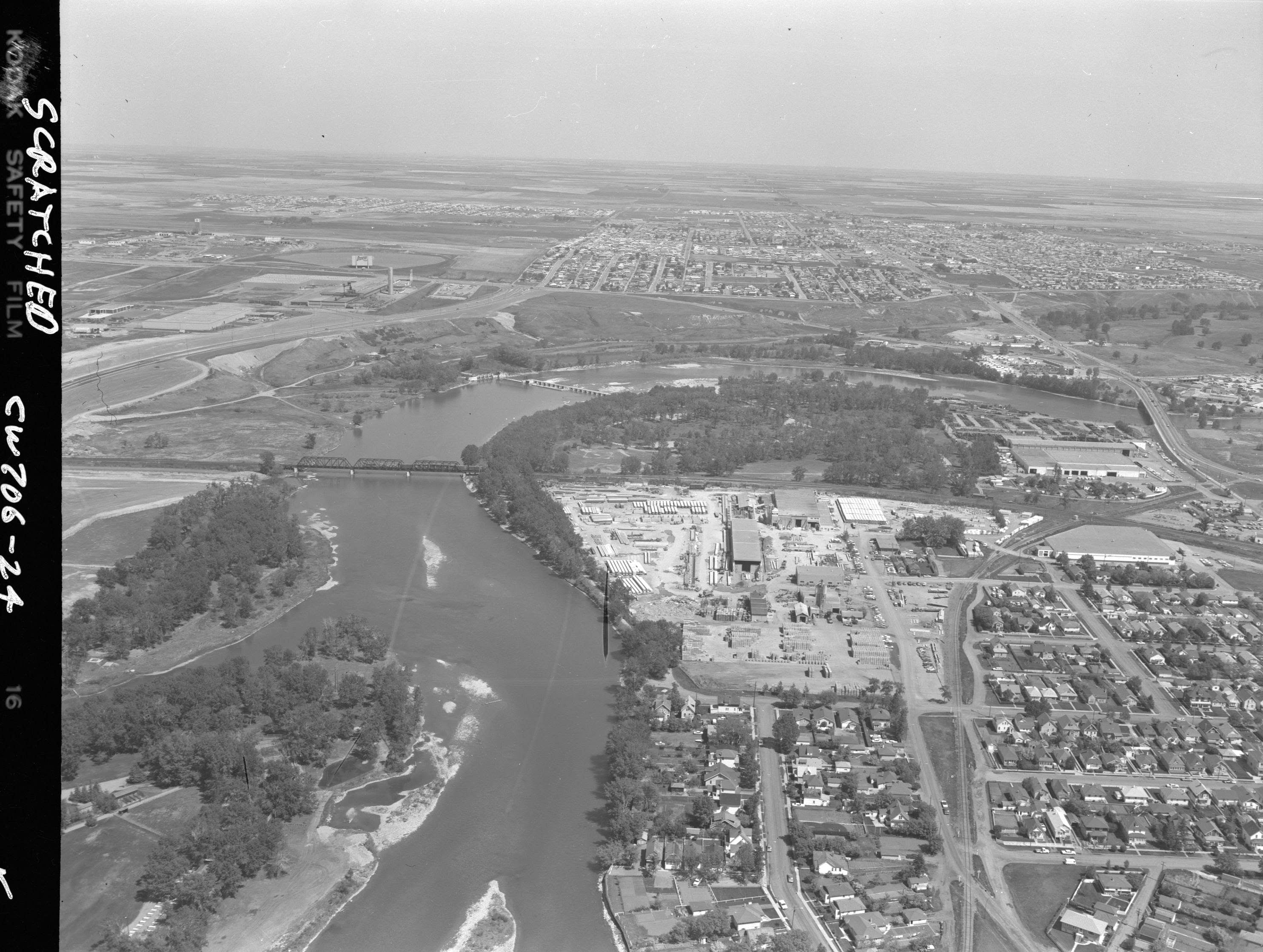
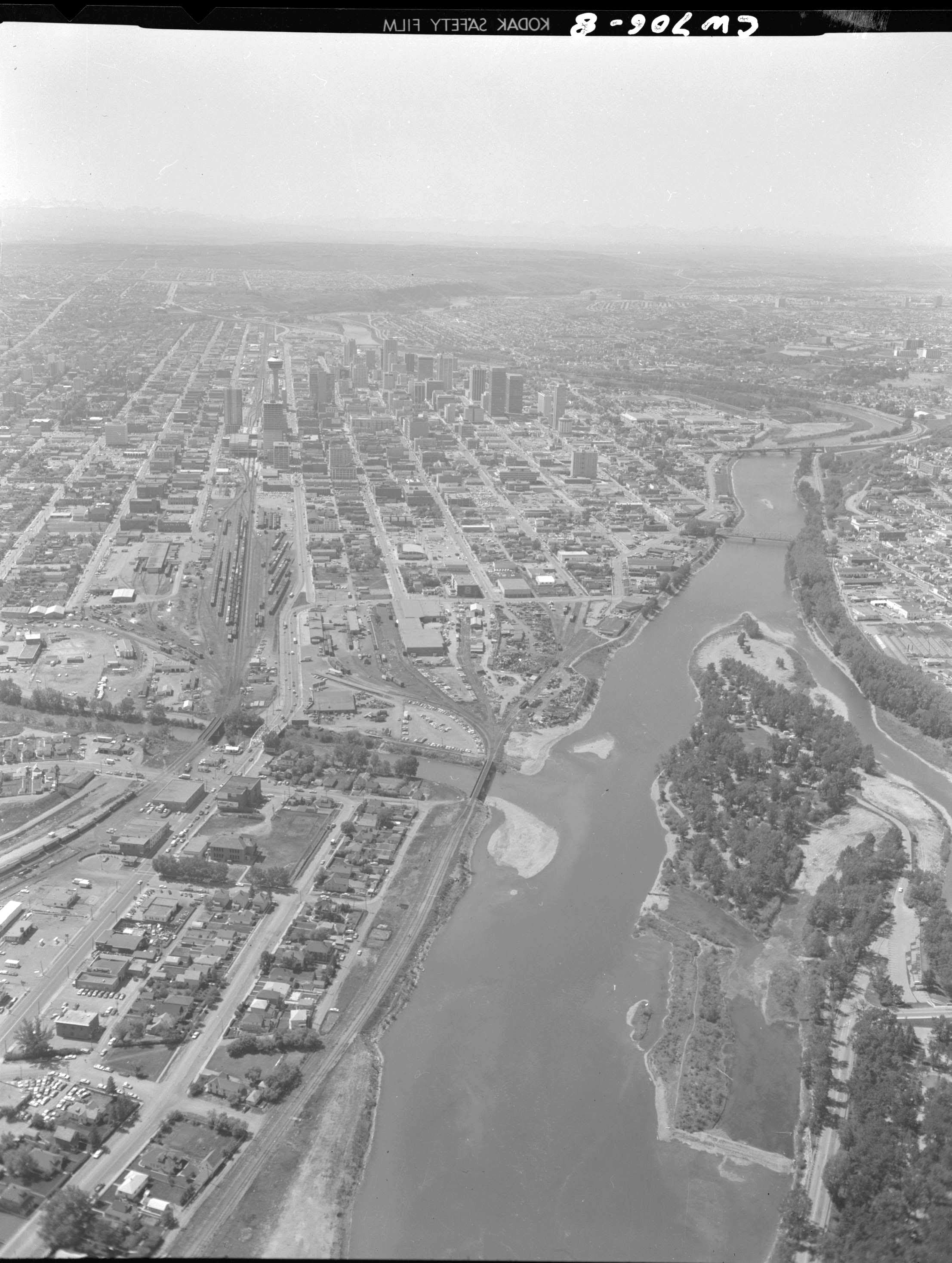
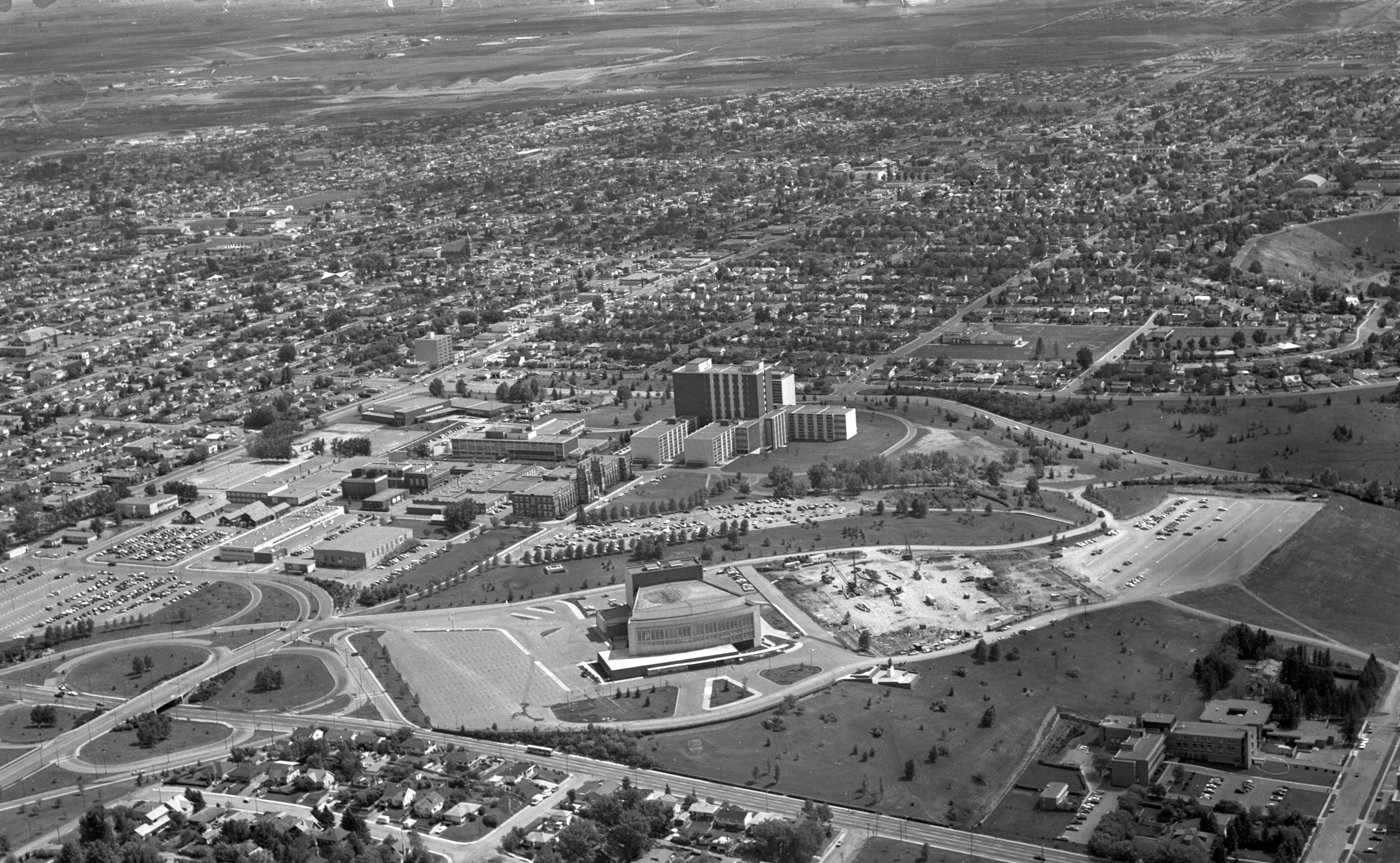
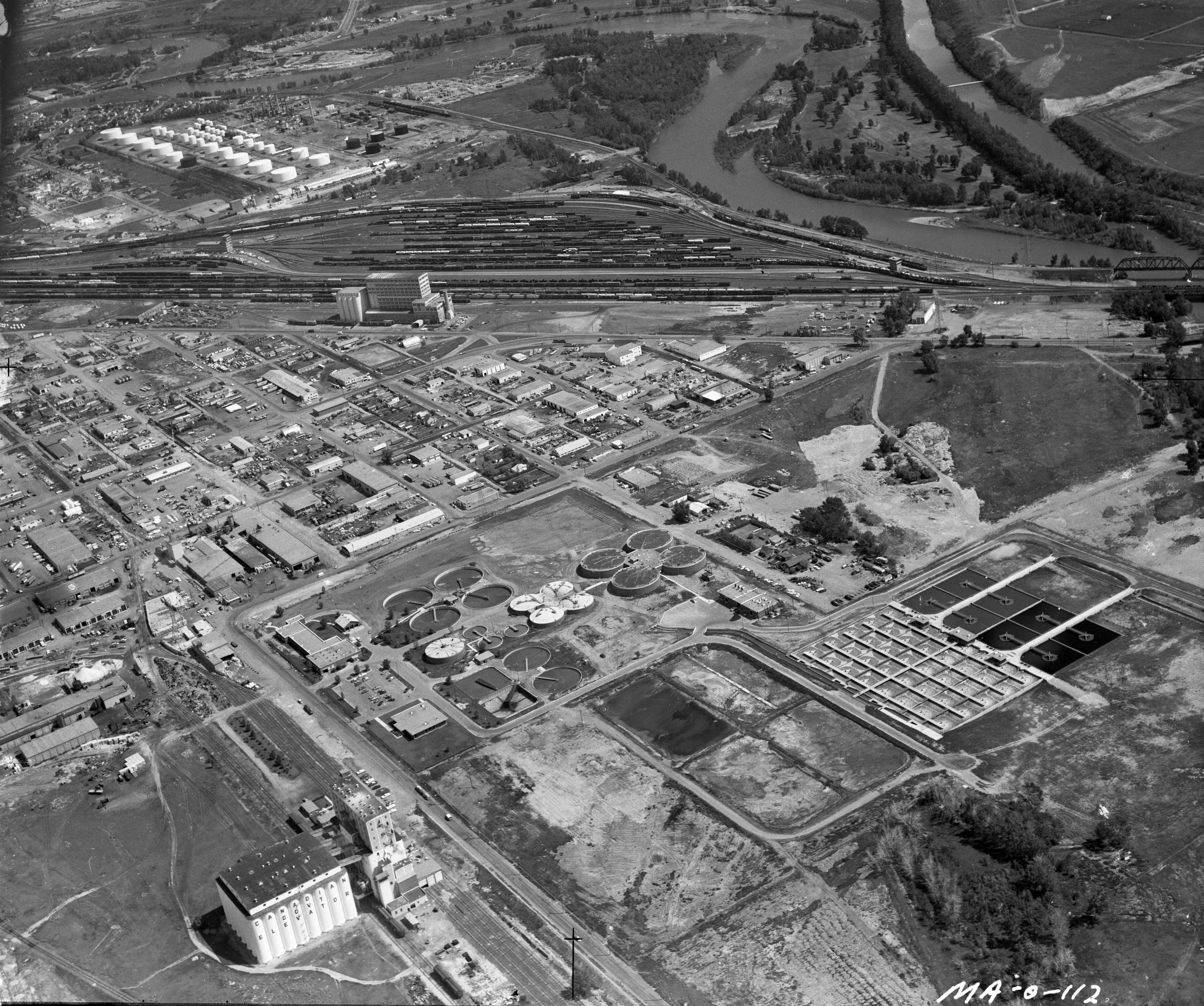
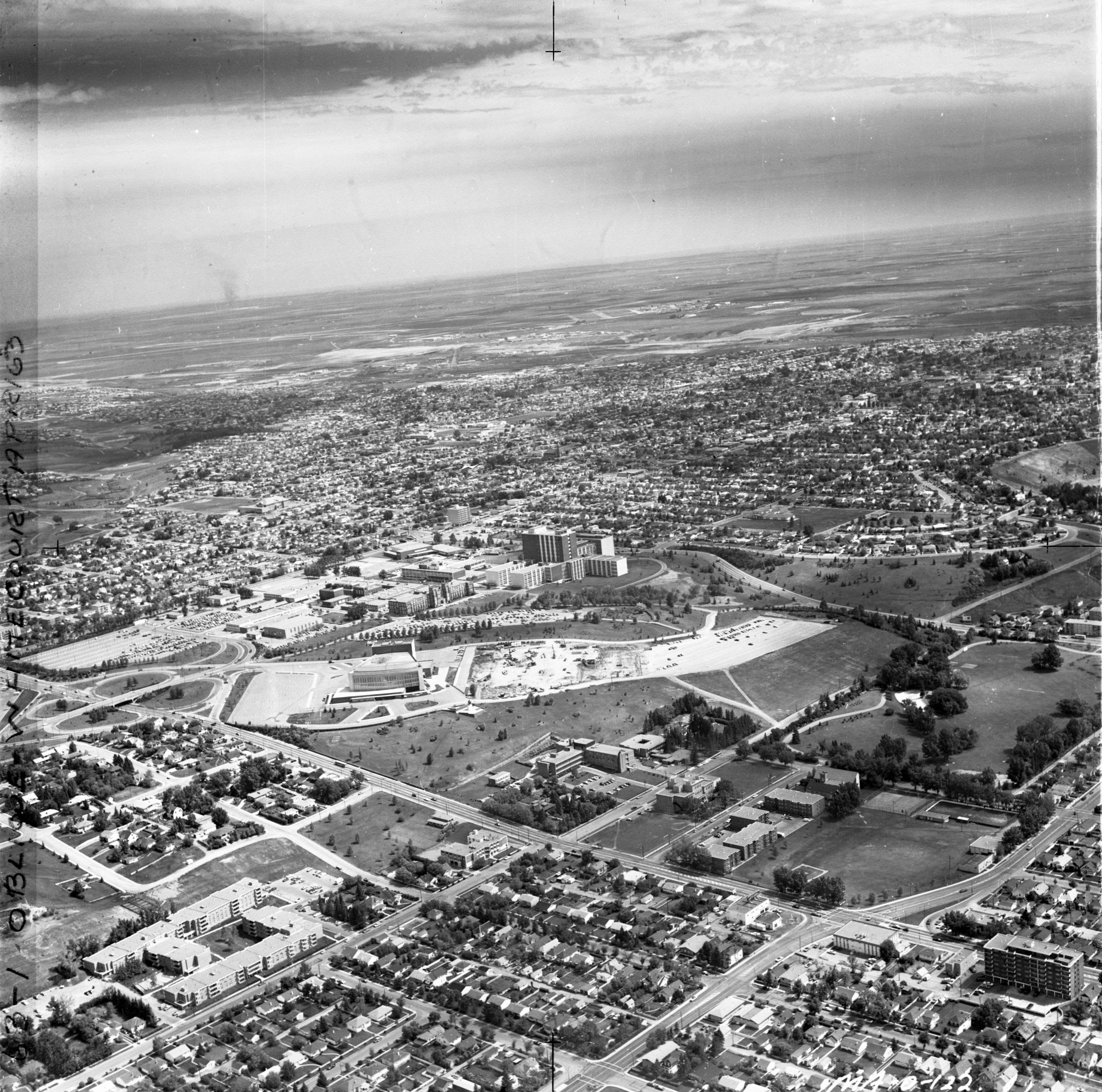
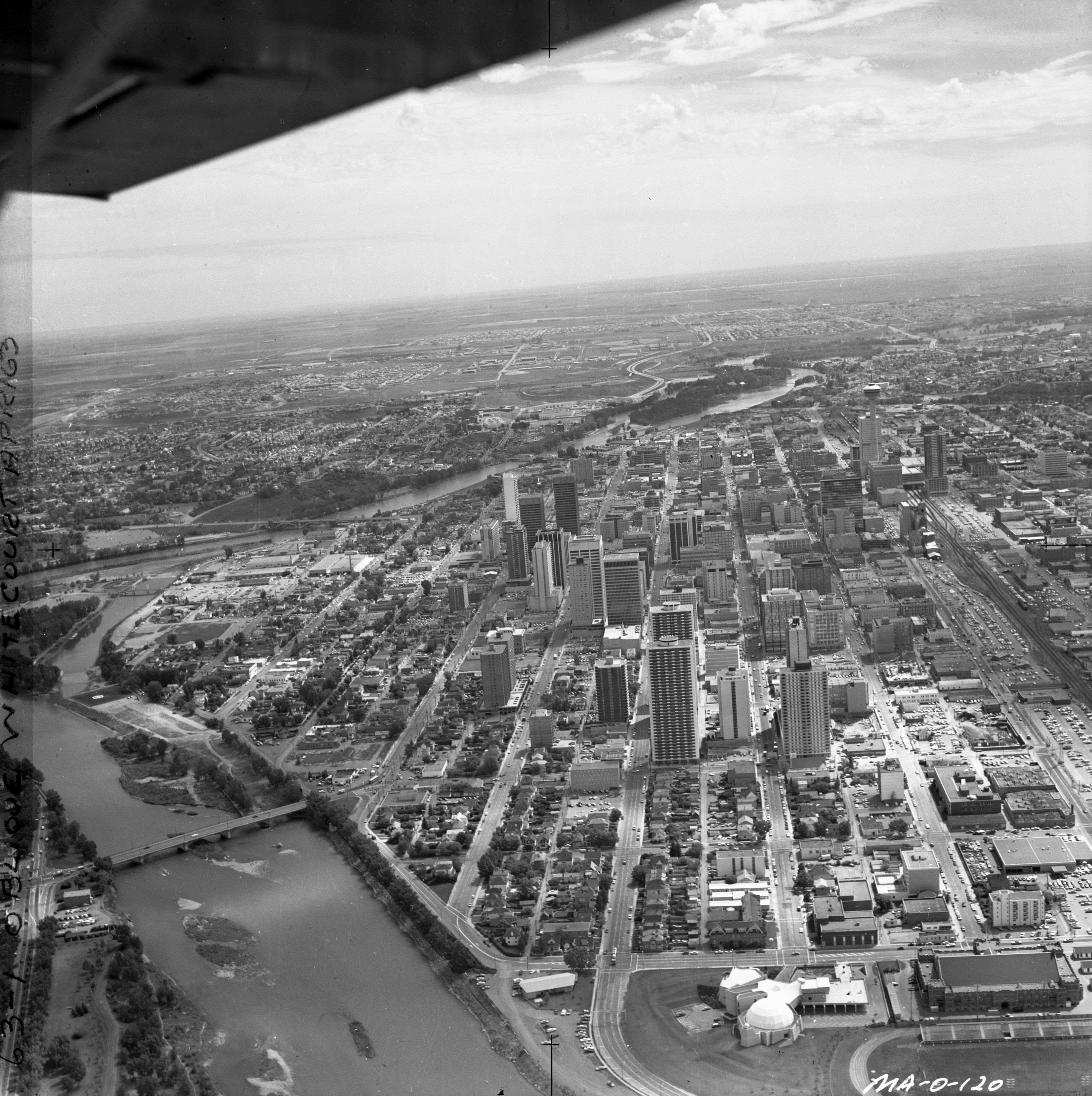
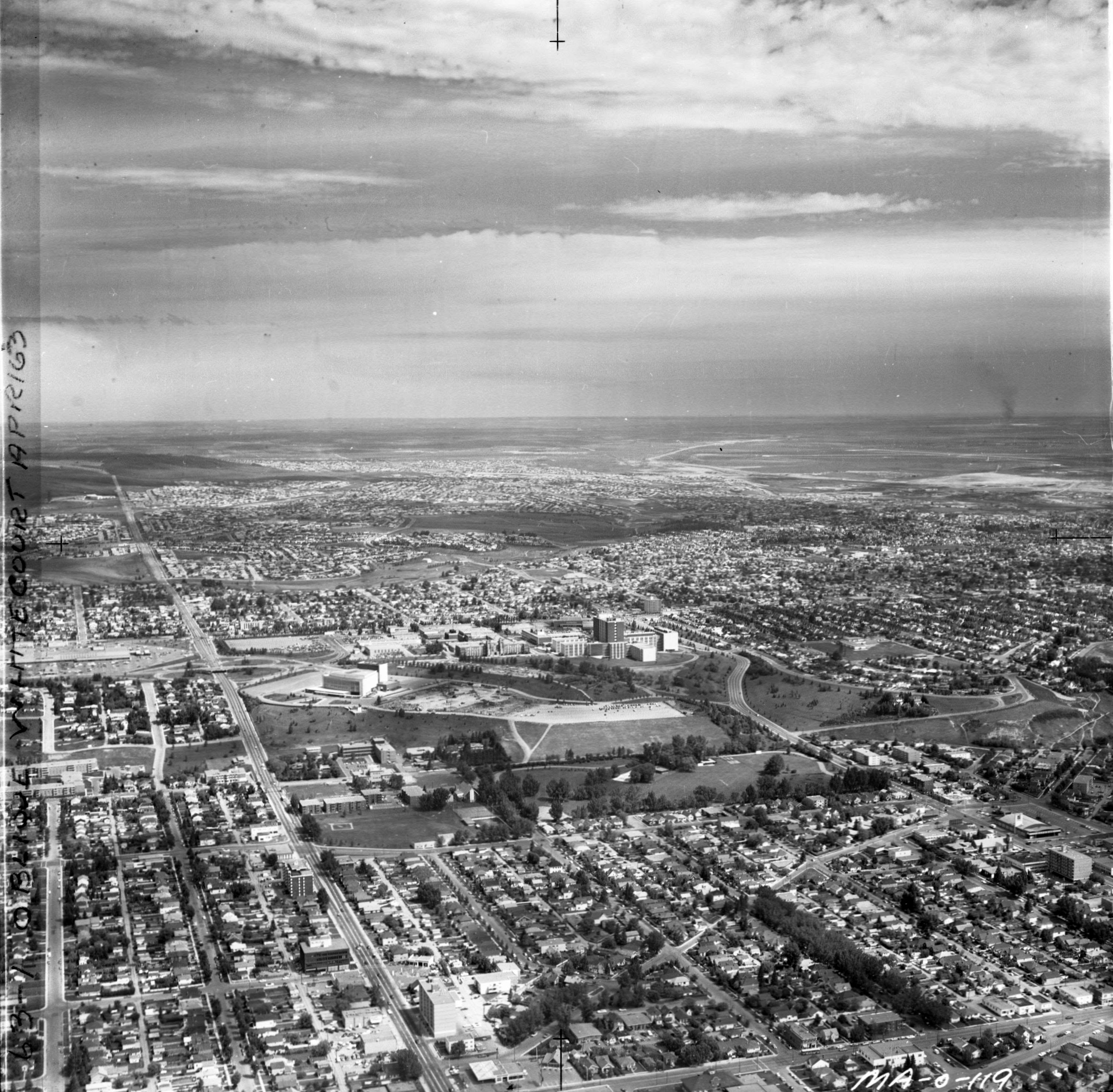
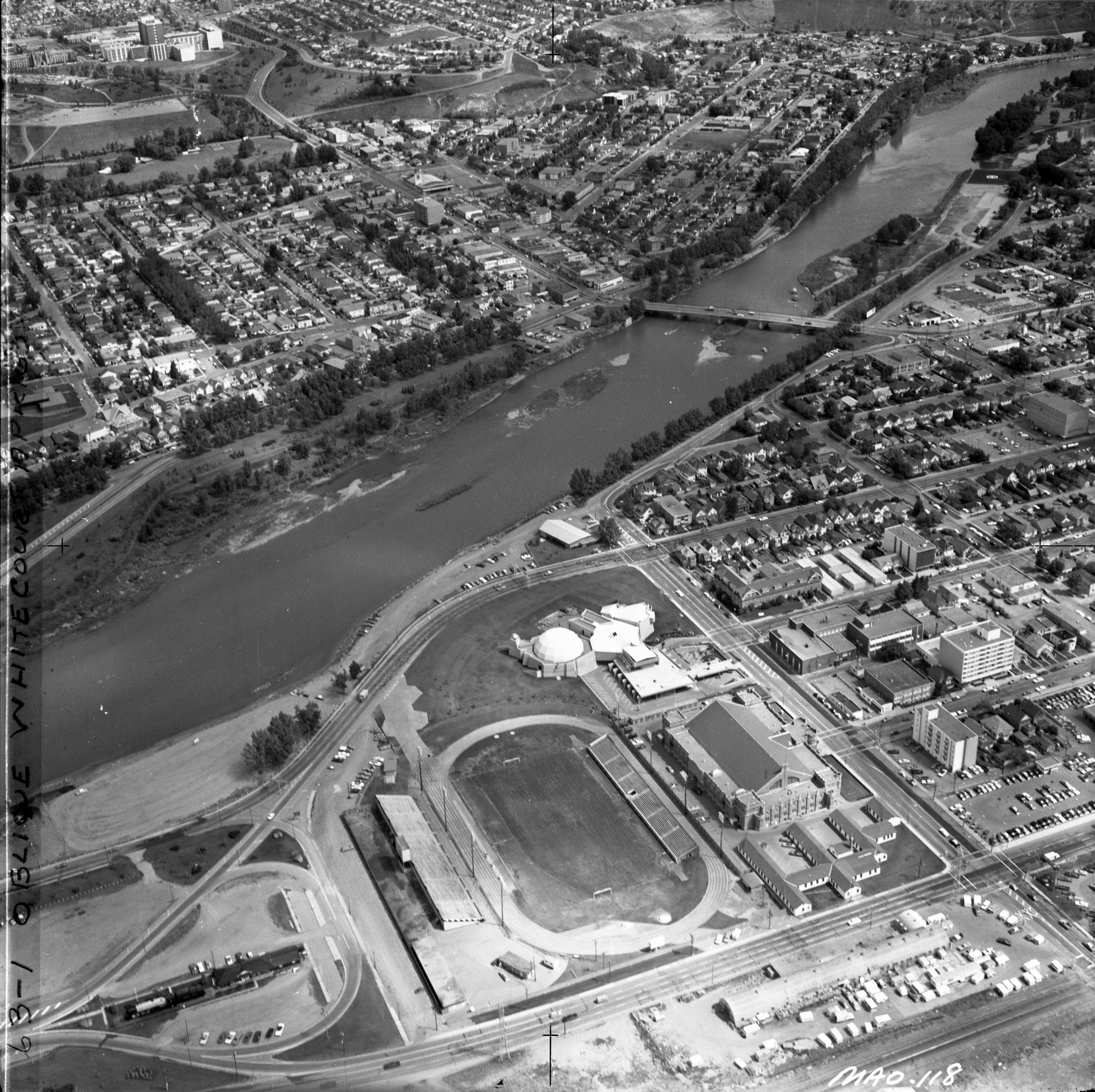
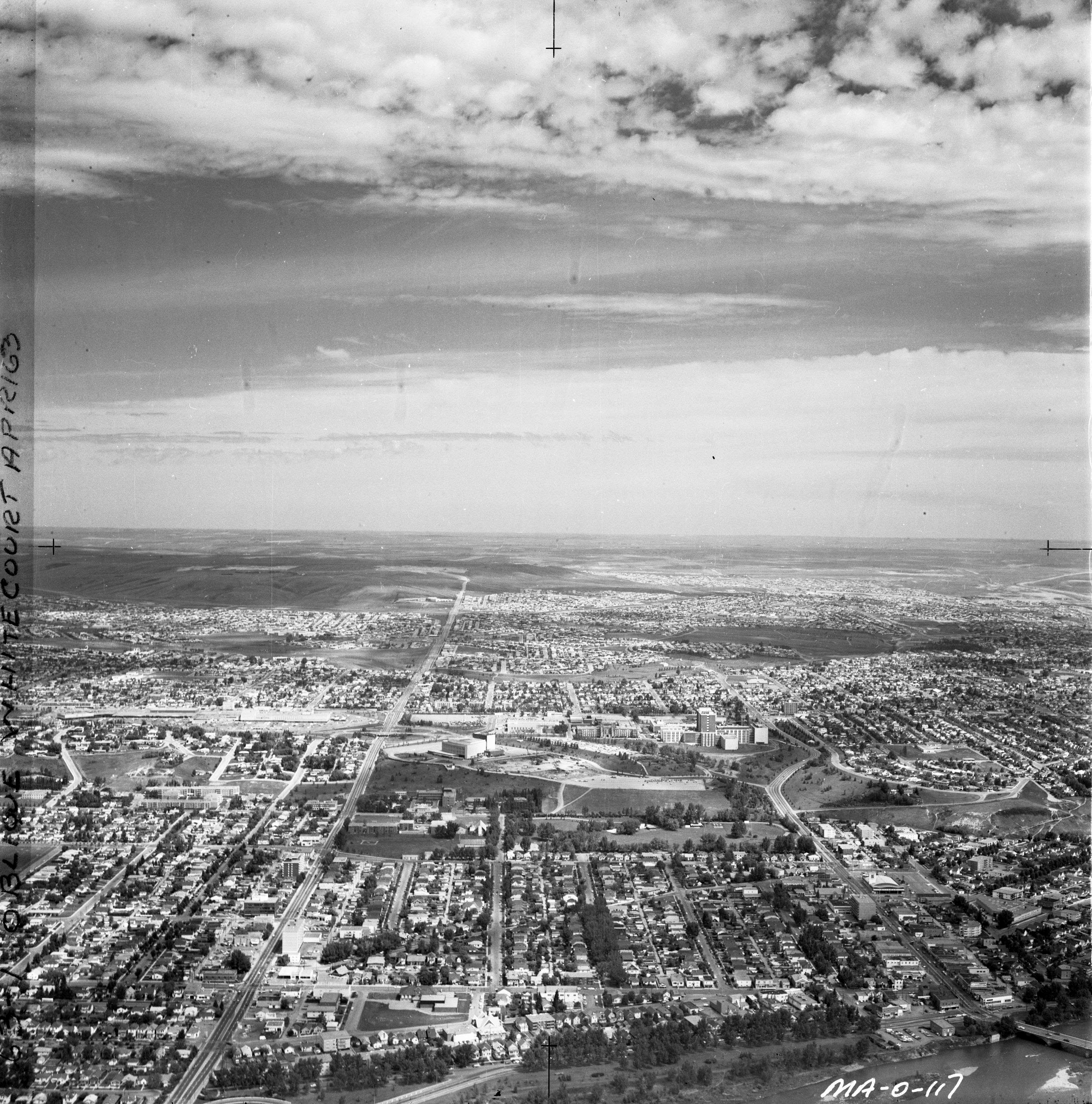
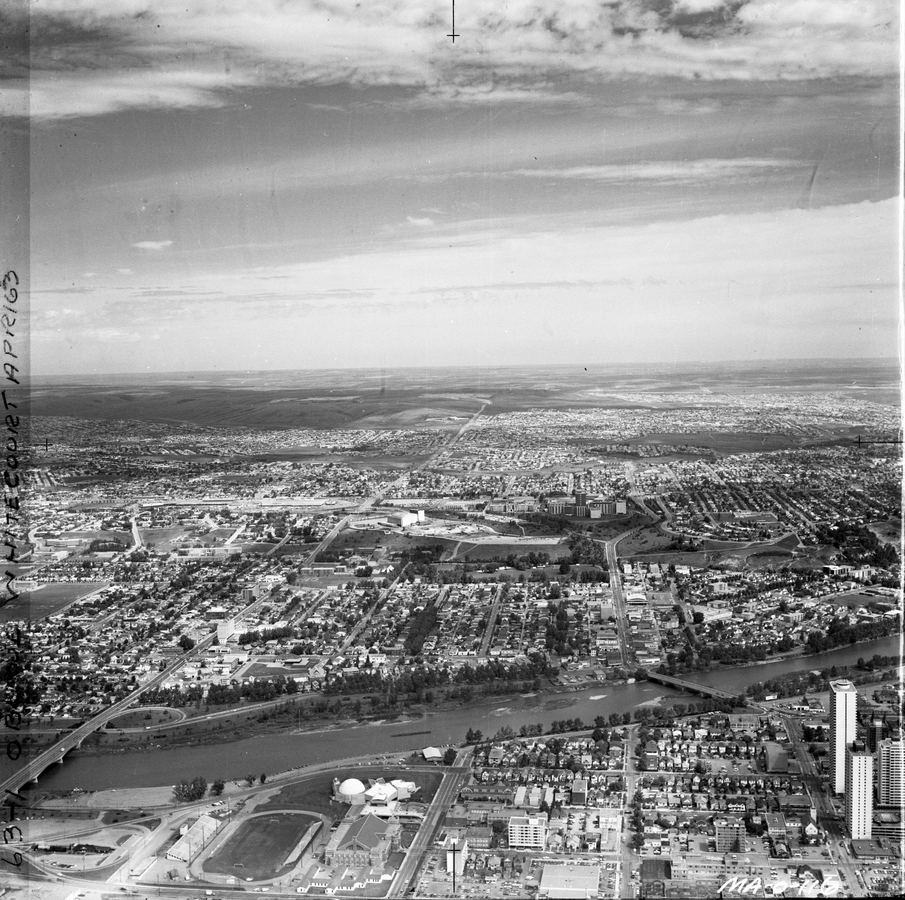
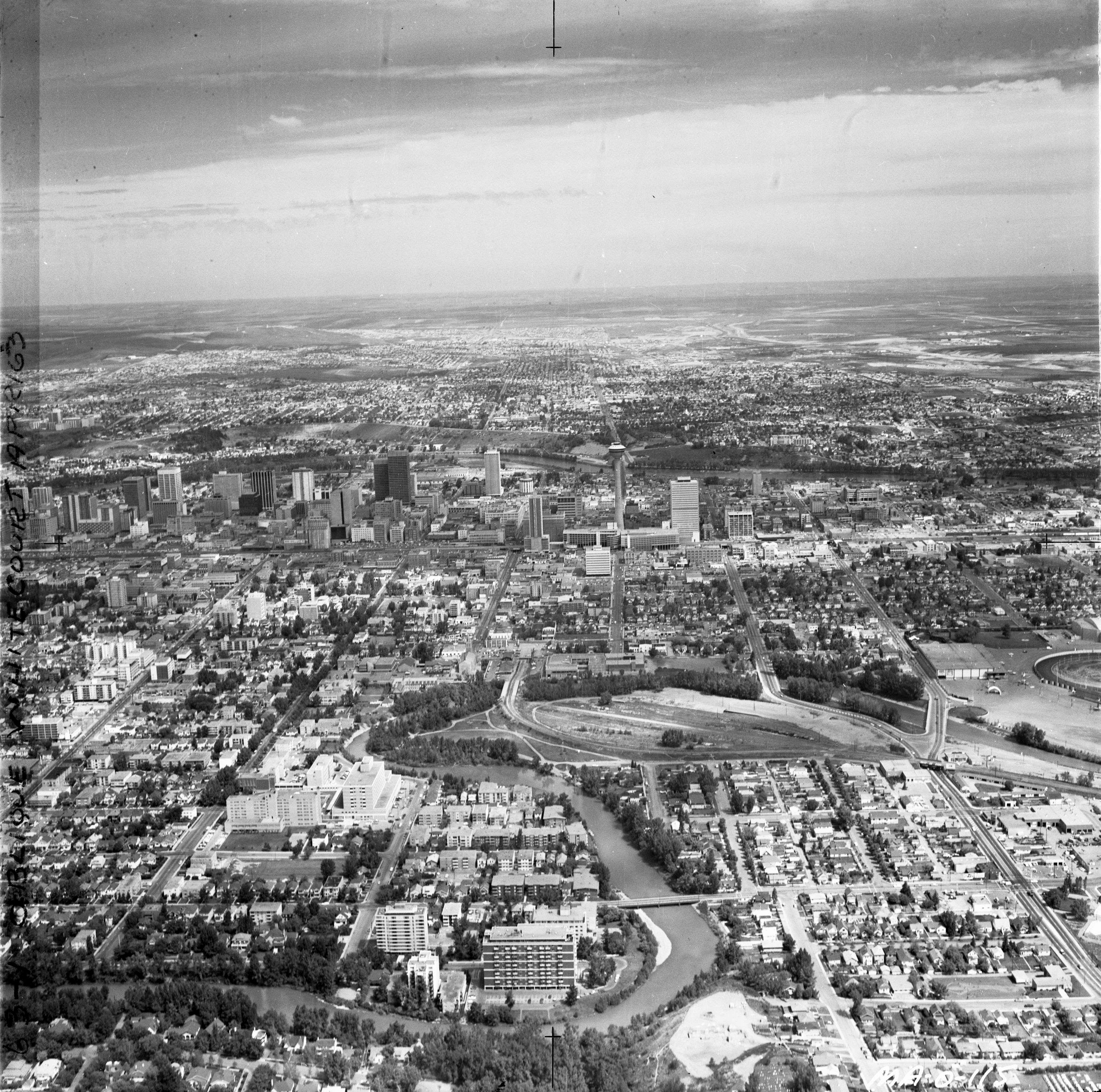
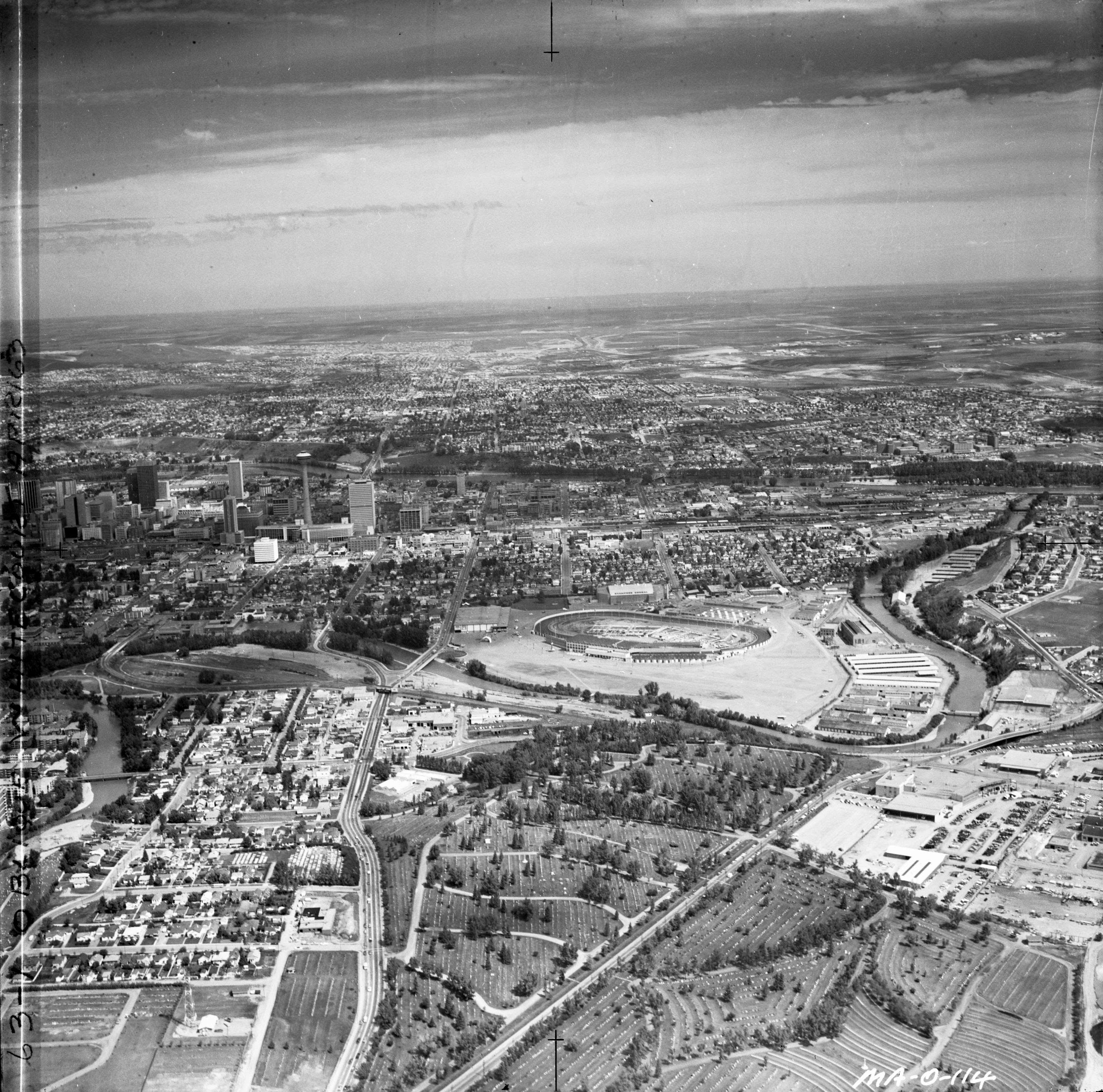
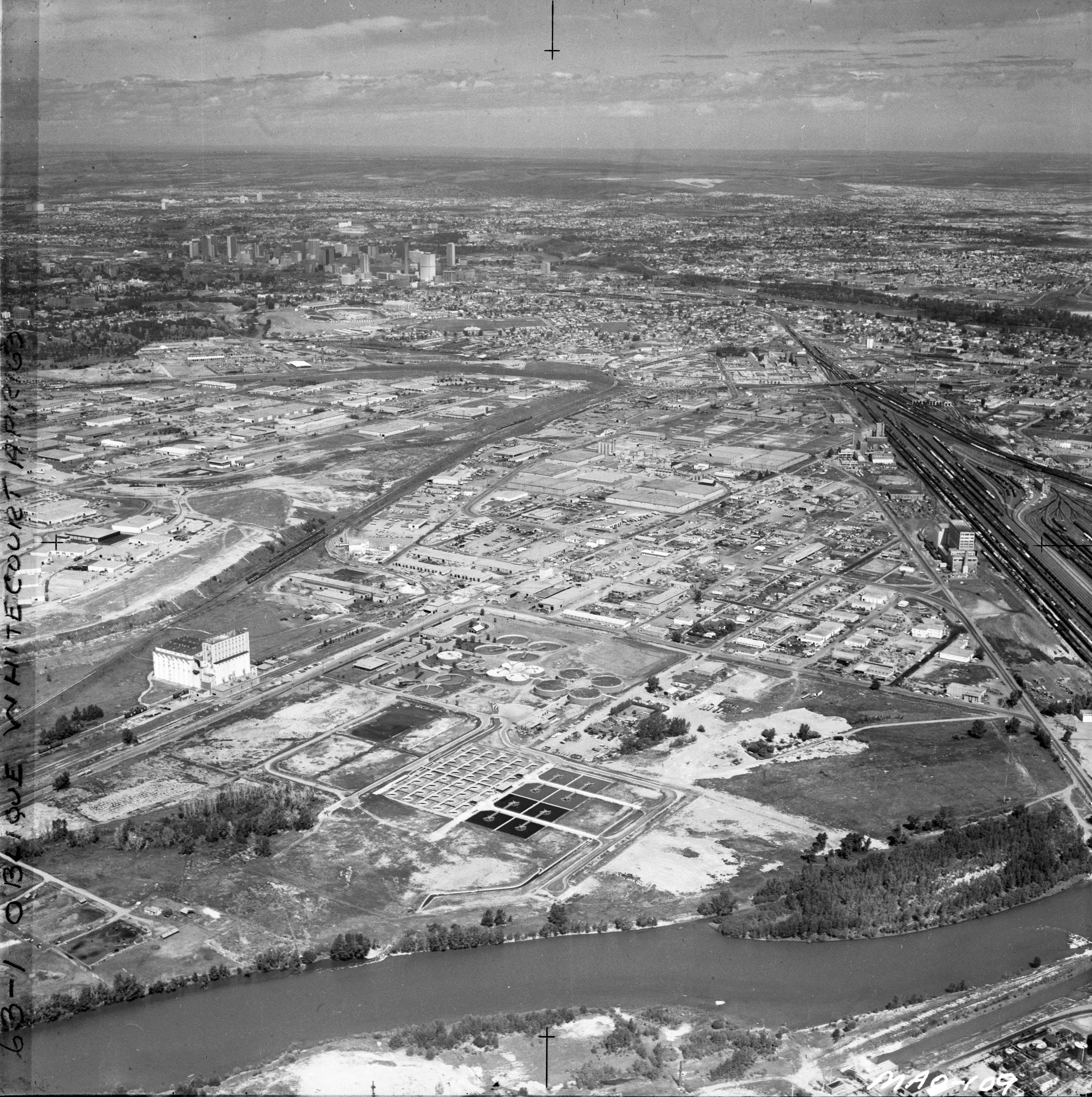
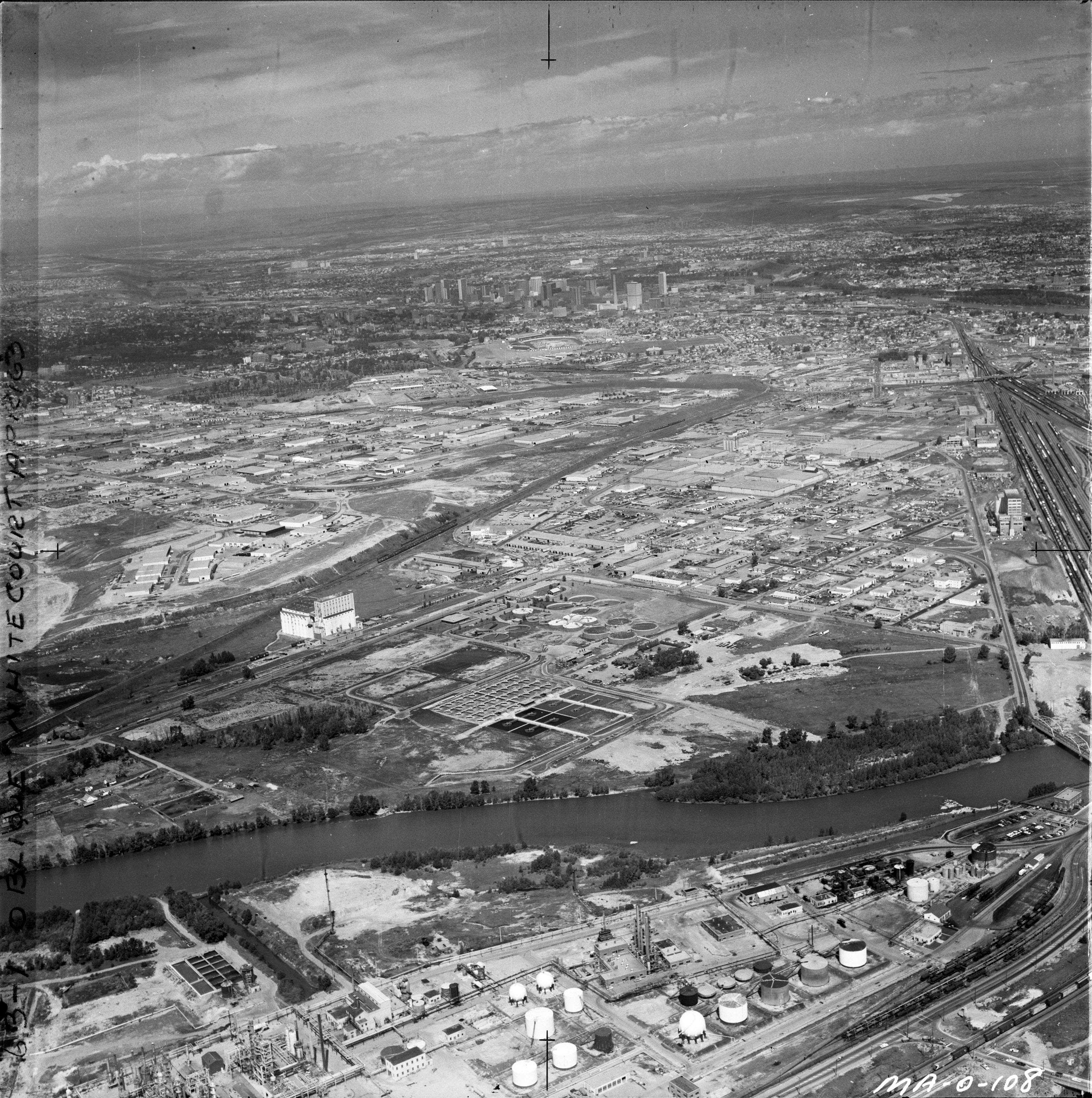
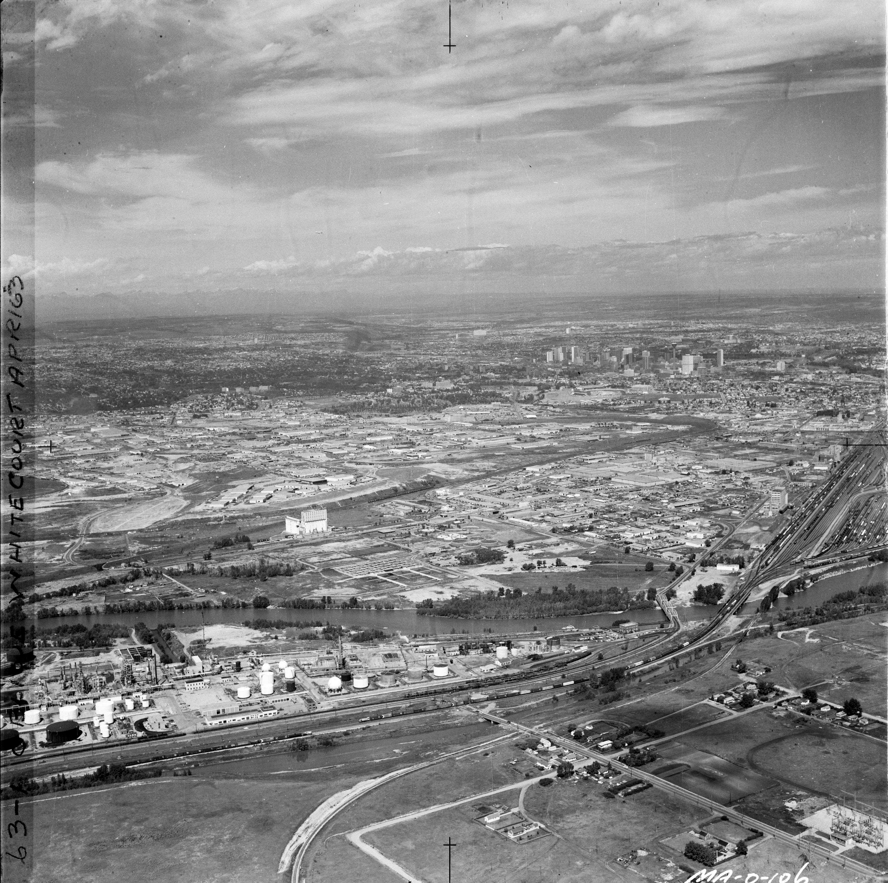
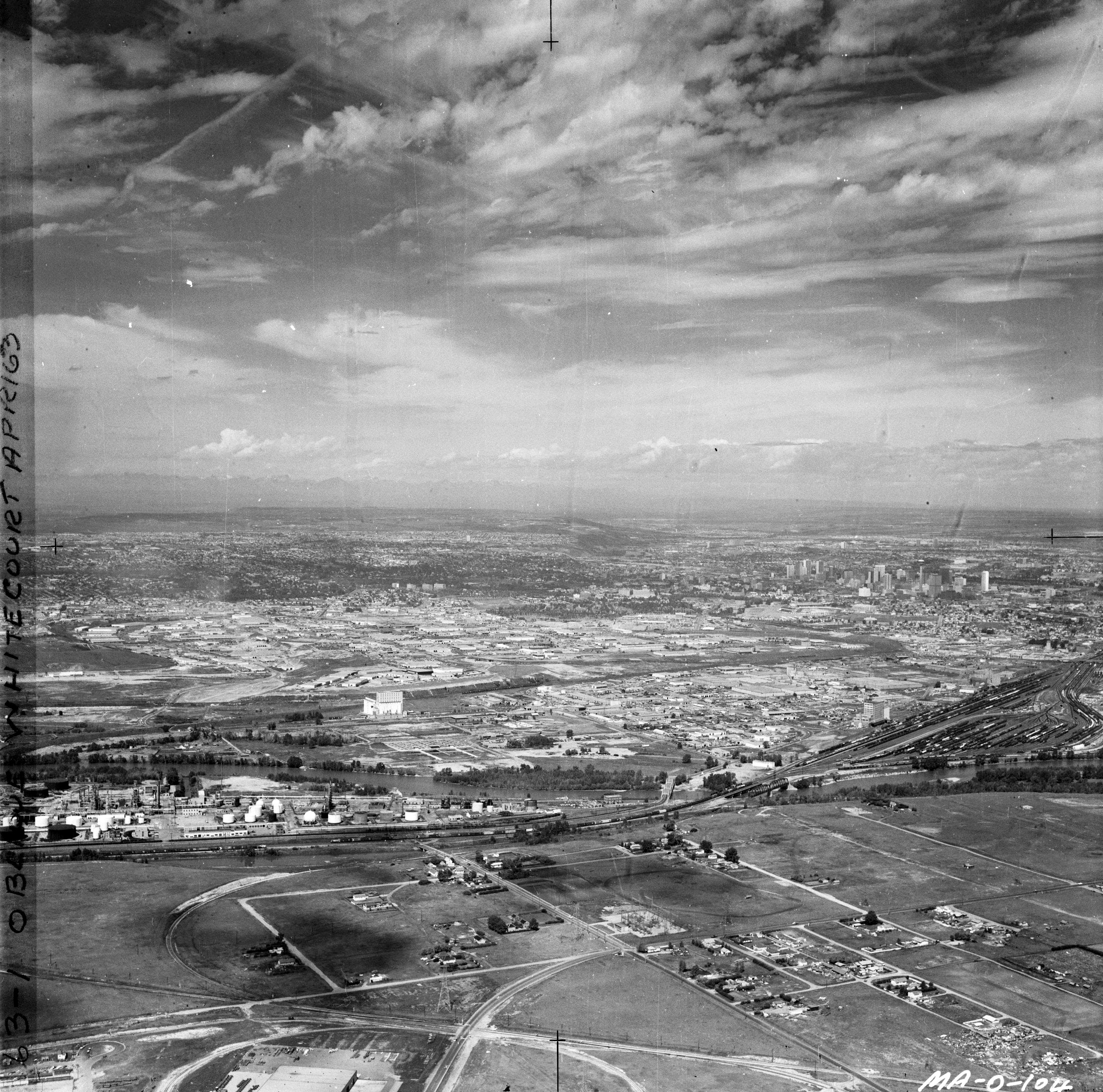
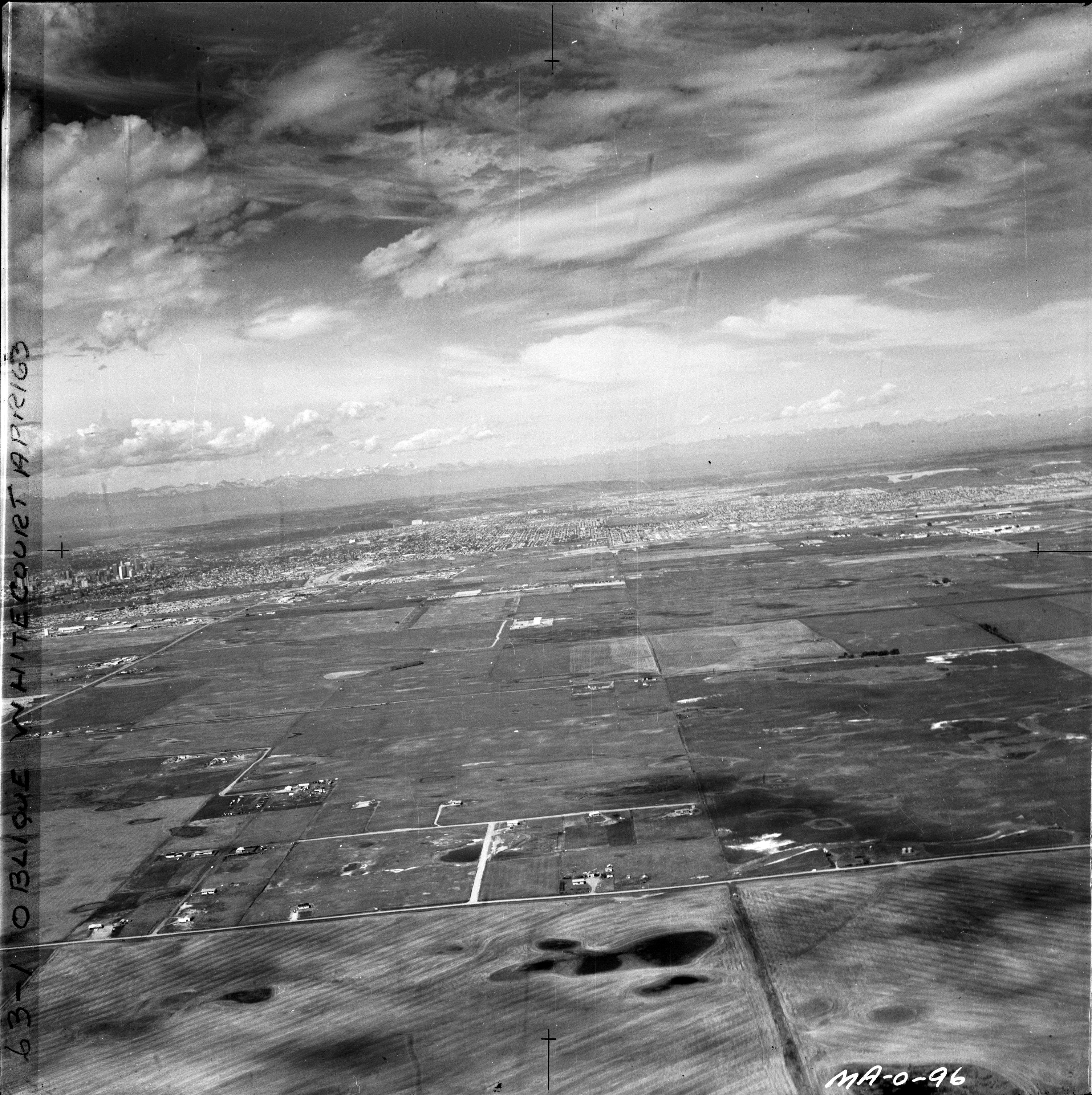
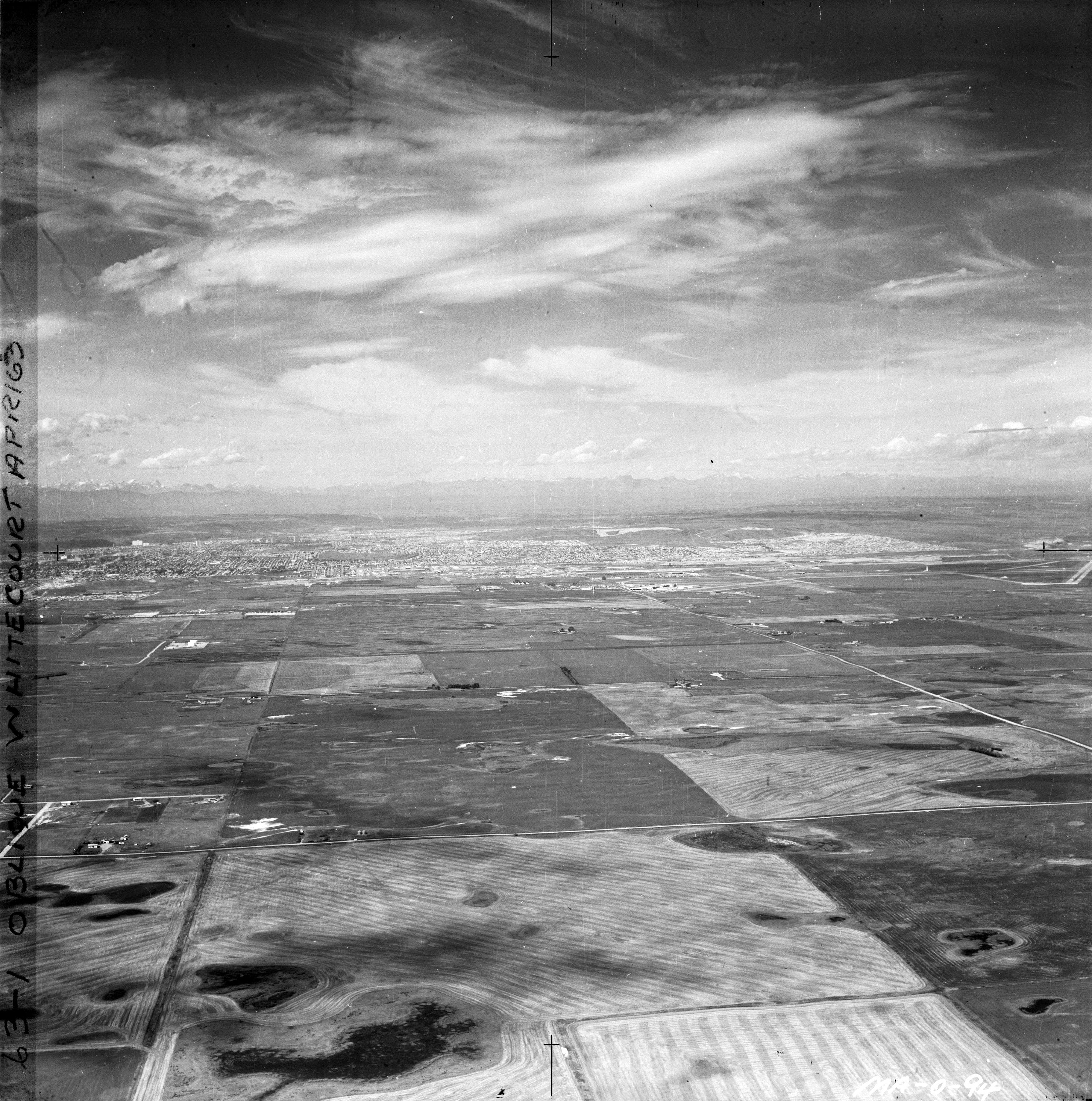
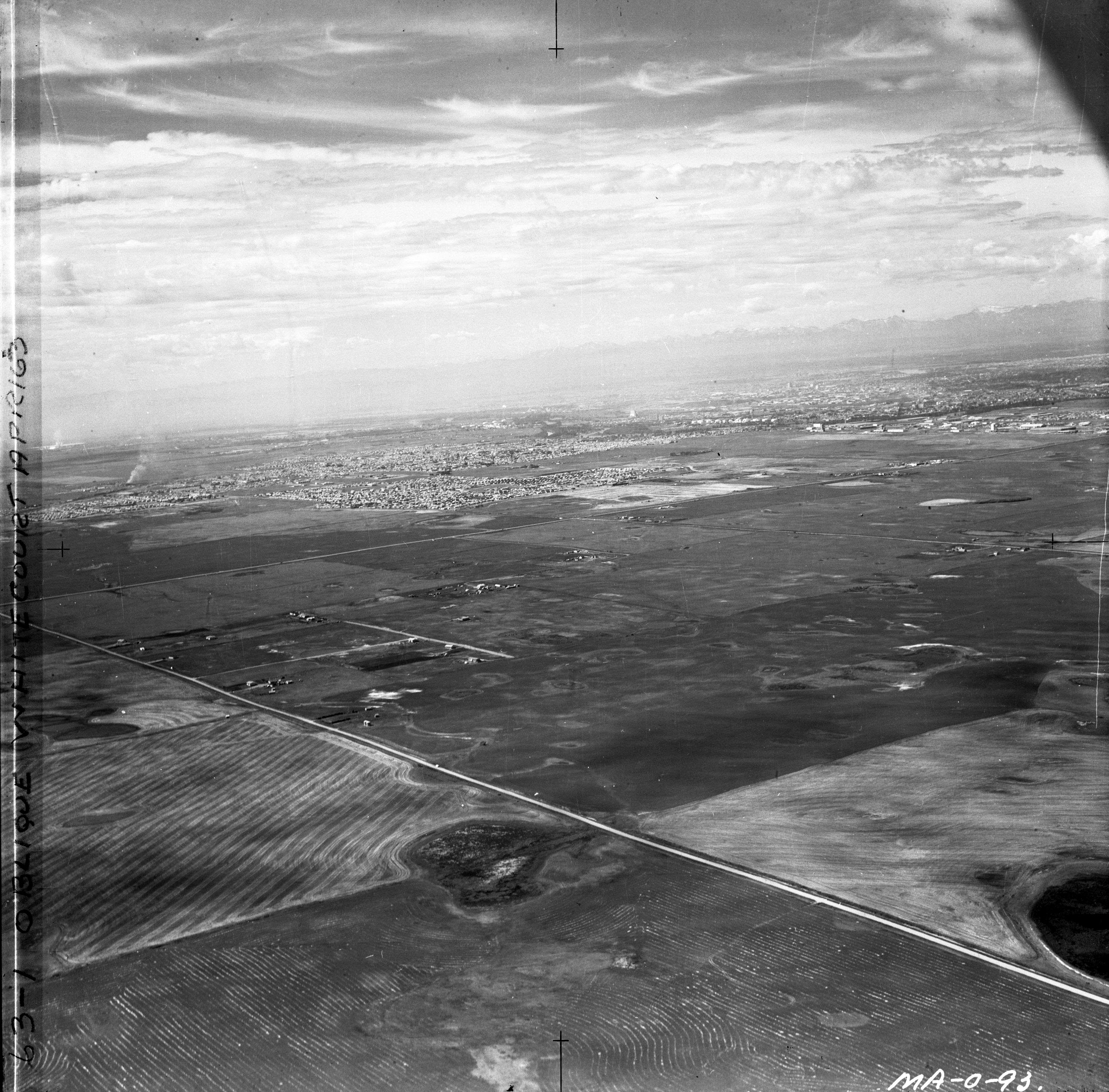
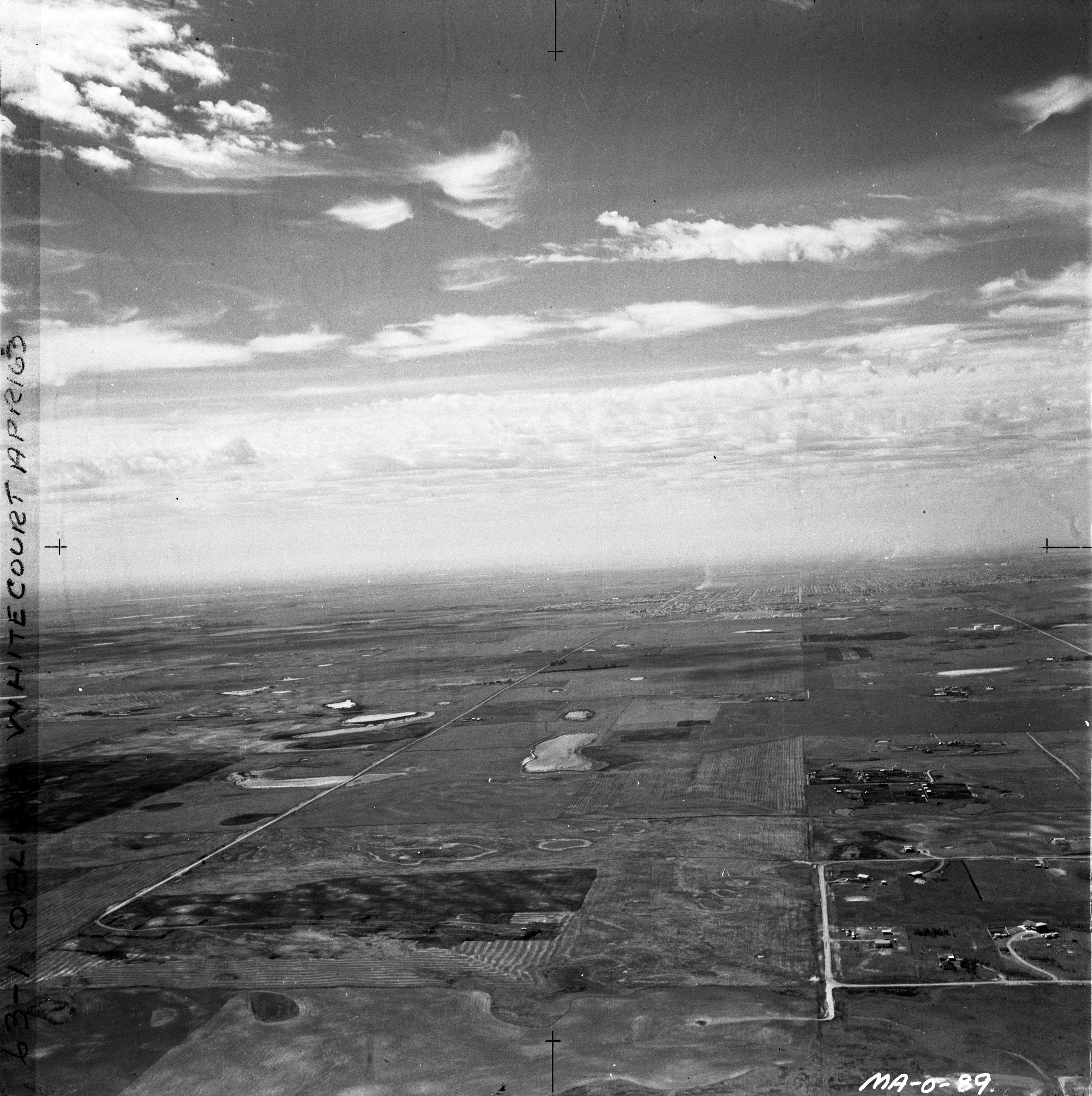
Oblique photos of Calgary were flown by MachAir Surveys in the 1970s. Images where scanned from original negatives and are available for discovery and download via the Oblique Photos of Calgary 1970s application or from the links below. The list also indicates an approximate photo location by city quadrant, Calgary community, view direction and prominent features. Copyright is held by Spatial and Numeric Data Services.

File Quadrant Location View_direction Features
A001.jpg Southwest Meadowlark Park W Chinook Mall, Glenmore Reservoir
A002.jpg Southwest Meadowlark Park NW Chinook Mall, Calgary Golf & Country Club
A003.jpg Southwest Meadowlark Park SW Chinook Mall, Glenmore Reservoir
A004.jpg Southwest Meadowlark Park W Chinook Mall, Glenmore Reservoir
A005.jpg Southwest Meadowlark Park NE Chinook Mall
A006.jpg Southwest Meadowlark Park E Chinook Mall, Oil Refinery
A007.jpg Southwest Meadowlark Park SW Chinook Mall, Glenmore Reservoir
A008.jpg Southwest Meadowlark Park NW Chinook Mall, Calgary Golf & Country Club
A009.jpg Southwest Meadowlark Park NNW Chinook Mall, Downtown
A010.jpg Centre Downtown NNW 9 Ave SW & 1 St SW, Prince's Island
A011.jpg Centre Downtown NNE 9 Ave SW & 4 St SW
A012.jpg Centre Downtown NE 9 Ave SW & 4 St SW, Center St & Langevin Bridges
A013.jpg Centre Downtown N 9 Ave SW & 2 St SW, Prince's Island
A014.jpg Centre Downtown W 9 Ave SW, Louise & Mewata Bridges
A015.jpg Southwest Meadow, Fairview Industrial ESE Macleod Trail & Glenmore Trail


File Quadrant Location View_direction Features
R1_001.jpg Northwest Hillhurst, SunAlta S Greyhound Bus Terminal, Mewata Bridge
R1_002.jpg Northwest Hillhurst, SunAlta S Greyhound Bus Terminal, Mewata Bridge & Armoury
R1_003.jpg Northwest Hillhurst S Mewata Armoury
R1_004.jpg Northwest Hillhurst, Sunnyside SSE Louise Bridge, 10 St NW
R1_005.jpg Northwest Sunnyside SSE Downtown
R1_006.jpg Northwest Sunnyside SSE Downtown
R1_007.jpg Southwest Scarboro SSE Crowchild Bridge, Shaganappi Point
R1_008.jpg Northwest Sunnyside SE Downtown
R1_009.jpg Northwest West Hillhurst SE Crowchild Bridge, Shaganappi Point
R1_010.jpg Northwest West Hillhurst SE Crowchild Bridge, Shaganappi Point
R1_011.jpg Northwest West Hillhurst S Crowchild Bridge, Shaganappi Point
R1_012.jpg Northwest West Hillhurst S Crowchild Bridge
R1_013.jpg Northwest West Hillhurst S Pumphouse
R1_014.jpg Northwest Hillhurst S Greyhound Bus Terminal
R1_015.jpg Northwest Hillhurst SSE Mewata Bridge, Greyhound Bus Terminal
R1_016.jpg Northwest Hillhurst SSE Mewata Bridge & Armoury
R1_017.jpg Northwest Hillhurst SSE Louise Bridge, Metawa Armoury
R1_018.jpg Northwest Hillhurst SSE Louise Bridge, Metawa Armoury
R1_019.jpg Northwest Sunnyside SSE Louise Bridge, Downtown
R1_020.jpg Northwest Sunnyside SE Downtown


File Quadrant Location View_direction Features
R1_021.jpg Centre Downtown S Centre Street Bridge, Calgary Tower
R1_022.jpg Centre Downtown SSE Centre Street Bridge, Calgary Tower
R1_023.jpg Centre Downtown W Bow Bend, Bow River weir
R1_024.jpg Centre Inglewood WNW Bow River weir, Inglewood Bird Sanctuary
R1_025.jpg Centre Inglewood NW Brewery
R1_026.jpg Centre Ramsey NW Stampede Grounds, Downtown
R1_027.jpg Centre Mission N Lindsay Park, Downtown
R1_028.jpg Southwest Mount Royal E Western Canada High School
R1_029.jpg Centre Downtown E Mewata Armoury, 9 Ave SW
R1_030.jpg Centre Downtown E Mewata Armoury, Louise Bridge
R1_031.jpg Southwest Killarney NE 17 Ave SW, Crowchild Trail SW
R1_032.jpg Southwest Shaganappi E 17 Ave SW, Bow Trail SW, Sunalta School
R1_033.jpg Southwest Shaganappi E Crowchild Trail SW, Bow Trail SW, Shaganappi Golf Course
R1_034.jpg Northwest Hillhurst NE SAIT, Jubilee
R1_035.jpg Northwest Hillhurst E SAIT, Jubilee
R1_036.jpg Northwest University NW Crowchild Trail NW, 32 Ave NW
R1_037.jpg
Northwest University NW 24 Ave NW, 32 Ave NW


File Quadrant Location View_direction Features
R2_021.jpg Northeast Crossroads (formerly Belfast) SW 8 Ave NE, Nose Creek valley greenhouses & abattoir
R2_022.jpg Northeast Mayland Heights NNE 16 Ave NE (Hwy 1), Vista Heights, Calgary Airport
R2_023.jpg Northeast Mayland Heights NNE Vista Heights, 16 Ave NE, Calgary Airport
R2_024.jpg Northeast Mayland Heights N Vista Heights, 16 Ave NE & Barlow N (Hwy 2), Calgary Airport
R2_025.jpg Southeast Southview N Radisson, 17 Ave SE & 26 St SE
R2_026.jpg Southeast Southview NNE Radisson, 36 ST SE & 26 AVE SE, Meridian Industrial
R2_027.jpg Southeast Forest Heights N Southview, 17 Ave SE, Radisson
R2_028.jpg Southeast Forest Lawn NNW Bazalgette School, 26 Ave SE
R2_029.jpg Southeast Forest Lawn NNW Forest Lawn outdoor pool, Holy Trinity School
R2_030.jpg Southeast Forest Lawn NW Forest Lawn Industrial, Holy Trinity Church
R2_031.jpg Southeast Forest Lawn NW Forest Lawn Industrial, Hubalta Rd SE, Marlborough
R2_032.jpg Southeast Forest Lawn NW Forest Lawn Industrial, Ernest Morrow Jr High School
R2_033.jpg Southeast Forest Lawn W Forest Lawn Industrial
R2_034.jpg Southeast Forest Lawn W 14 Ave SE, Forest Lawn High School
R2_035.jpg Southeast Forest Lawn W 14 Ave SE, 8 Ave SE,  Forest Lawn High School, Clifton Manor
R2_036.jpg Northeast Airways Industrial SW McCall Lake, large sloughs
R2_037.jpg Northeast Airways Industrial SW Barlow N (Hwy 2), McCall Lake
R2_038.jpg Northeast Airways Industrial SW McCall Lake, 16 Ave NE overpass


File Quadrant Location View_direction Features
B001.jpg Southwest Lakeview, Glamorgan N Glenmore Reservoir, North Glenmore Park
B002.jpg Southwest Lakeview, Glamorgan W North Glenmore Park, Earl Grey Golf Club
B003.jpg Southwest Lakeview, Glamorgan NW North Glenmore Park, Earl Grey Golf Club
B004.jpg Southwest Lakeview, Glamorgan, Lincoln Park NW Glenmore Reservoir, North Glenmore Park
B005.jpg Southwest Lakeview, Glamorgan SE Camp Sarcee,Glenmore Reservoir, North Glenmore Park
B006.jpg Southwest Lakeview E Camp Sarcee,Glenmore Reservoir, North Glenmore Park
B007.jpg Northwest Huntington Hills NE Centre St N (Simons Valley Rd) & 4 St NW, 64 Av NW
B008.jpg Northwest Huntington Hills SE Centre St N (Simons Valley Rd) & 4 St NW, Nosehill pump house
B009.jpg Centre Inglewood N Oil Refinery
B010.jpg Southeast Alyth, Inglewood, Ramsey, Downtown NW Blackoot Tr & Ogden Rd
B011.jpg Centre Inglewood, Alyth SE Oil Refinery, Calgary Brewery, CPR, Mills Estate
B012.jpg Centre Downtown NW East Village, Bow River
B013.jpg Centre Pearce Estate Park, Inglewood E Bow River, Sunset Drive-in Theatre
B014.jpg Centre Downtown W Elbow River, St. Patrick's Island


File Quadrant Location View_direction Features
C001.jpg Northeast Mayland WSW Memorial Drive, Sunset Drive-in, Inglewood Bird Sanctuary
C002.jpg Southeast Albert Park W 17 Ave SE, Inglewood Bird Sanctuary, Bishop Kidd School
C003.jpg Southeast Albert Park W 17 Ave SE, Inglewood Bird Sanctuary
C004.jpg Southeast Beltline WNW Stampede Grounds, Downtown
C005.jpg Southeast Inglewood NE Calgary Brewery, Sunset Drive-in
C006.jpg Centre Inglewood E Calgary Zoo, Mills Estate
C007.jpg Centre Inglewood ENE Calgary Zoo, Bow Bend
C008.jpg Centre Downtown W St. Patrick's Island, mouth of Elbow River
C009.jpg Centre Beltline NE 17 Ave SW
C010.jpg Centre Downtown, Beltline NE Calgary Tower
C011.jpg Centre Downtown WNW Calgary Tower


File Quadrant Location View_direction Features
R2_001.jpg Northwest University NW 24 Ave NW, 32 Ave NW
R2_002.jpg Centre Downtown SSE Calgary Tower, Eau Claire area
R2_003.jpg Centre Downtown S Mewata Armoury, 14 St SW
R2_004.jpg Northeast Airport Industrial SW Vista Heights, McCall Lake
R2_005.jpg Northeast Airport Industrial SW Barlow Trail N area, McCall Lake
R2_006.jpg Northeast Airport Industrial SW Barlow Trail N area
R2_007.jpg Northeast Airport Industrial SW Vista Heights, 16 Ave NE (Hwy 1) overpass
R2_008.jpg Northeast Airport Industrial SSW Vista Heights
R2_009.jpg Northeast Airport Industrial SW Vista Heights, 16 Ave NE (Hwy 1) overpass, Midfield Trailer Park
R2_010.jpg Northeast Airport Industrial SW 16 Ave NE (Hwy 1) overpass, Midfield Trailer Park, Renfrew
R2_011.jpg Northeast South Airways Industrial SW construction of Deerfoot, Midfield Trailer Park, Renfrew
R2_012.jpg Northeast South Airways Industrial SW construction of Deerfoot, Midfield Trailer Park, Renfrew
R2_013.jpg Northeast South Airways Industrial SW 16 Ave NE (Hwy 1) overpass, General Hospital
R2_014.jpg Northeast Vista Heights NE Vista Heights, Calgary Airport
R2_015.jpg Northeast Vista Heights NE Vista Heights, Calgary Airport
R2_016.jpg Northeast Vista Heights NE Vista Heights School, Calgary Airport
R2_017.jpg Northeast Vista Heights NNE Vista Heights School, Calgary Airport
R2_018.jpg Northeast Crossroads (formerly Belfast) SW Mayland Heights, Nose Creek valley greenhouses & abattoir
R2_019.jpg Northeast Vista Heights NNW Vista Heights School, Calgary Airport
R2_020.jpg Northeast Vista Heights NNW Vista Heights School, Calgary Airport


File Quadrant Location View_direction Features
R3_001.jpg Northeast Airways Industrial SSW McCall Lake
R3_002.jpg Northwest Houndsfield Heights NE Jubilee, SAIT, Balmoral School on 16th Ave NW
R3_003.jpg Southeast Bonnybrook NE Ogden Rd, Government Elevator, DND, Oil Refinery
R3_004.jpg Southeast Bonnybrook NW Ogden Rd, Government Elevator, DND, CPR lines, Brewery
R3_005.jpg Northeast Mayland Heights SE 16 Ave NE overpass (under construction), Nose Creek
R3_006.jpg Northwest Houndsfield Heights SSE McMahon Stadium, Motel Village, 16th Ave NW, University Dr NW
R3_007.jpg Northwest Houndsfield Heights SE McMahon Stadium, Motel Village, 16th Ave NW, North Hill Centre
R3_008.jpg Northwest Varsity N Market Mall, Shaganappi Trail NW
R3_009.jpg Northwest Houndsfield Heights NE Jubilee, SAIT, Riley Park
R3_010.jpg Northwest Houndsfield Heights NE Jubilee, SAIT, Confederation Park
R3_011.jpg Centre Downtown E Mewata Armoury, Louise Bridge, Eau Claire
R3_012.jpg Northwest Hillhurst NNE Jubilee, SAIT, 14 St NW, Gladstone Rd
R3_013.jpg Northwest Westmount NE Mewata Stadium, Louise Bridge, Kensington
R3_014.jpg Northwest Hillhurst N Jubilee, SAIT, North Hill Mall, 10 ST NW, 14 St NW
R3_015.jpg Northwest Hillhurst N Louise Bridge, Mewata, Jubilee, SAIT, North Hill Mall
R3_016.jpg Centre Mission N Holy Cross, Lindsay Park
R3_017.jpg Centre Erlton N Union Cemetary, Stampede Grounds, Burnsland
R3_018.jpg Centre Erlton N Union Cemetary, Stampede Grounds, MacLeod Trail S
R3_019.jpg Centre Bonnybrook NE Water Treatment Plant, DND
R3_020.jpg Centre Bonnybrook NE Water Treatment Plant
R3_021.jpg Centre Bonnybrook NE Valleyfield, Ogden Rd & CPR bridge over Bow River
R3_022.jpg Centre Bonnybrook NE Valleyfield, Highfield
R3_023.jpg Centre Valleyfield NE Oil Refinery, Bonnybrook, Elevator, Highfield
R3_024.jpg Southeast Southview W 17 Ave E, Albert Park, Inglewood Golf Course
R3_025.jpg Southeast Albert Park W Bishop Kidd School, Wilfred Laurier School


File Quadrant Location View_direction Features
R3_026.jpg Northeast Marlborough NNW Marwood Park, 52 St NE, Airport
R3_027.jpg Northeast Marlborough NNW 52 St NE, Airport
R3_028.jpg Northeast Marlborough Park (not yet developed) N Hwy 789, Rocky View Chemical Plant
R3_029.jpg Northeast Marlborough Park (not yet developed) NW Airport
R3_030.jpg Northeast Marlborough W Hwy 1 (16 Ave E)
R3_031.jpg Northeast Rundle (not yet developed) W Hwy 1 (16 Ave E) cloverleaf
R3_032.jpg Northeast Whitehorn (not yet developed) W Rundle (not yet developed), airport
R3_033.jpg Northeast Whitehorn (not yet developed) SW Marlborough, Forest Lawn
R3_034.jpg Northeast Whitehorn (not yet developed) S Marlborough
R3_035.jpg Northeast Whitehorn (not yet developed) S Marlborough
R3_036.jpg Northeast Marlborough Park (not yet developed) NE Marlborough Way NE, 16th Av NE, Barlow Trail NE
R3_037.jpg Northeast Marlborough Park (not yet developed) N Marlborough
R3_038.jpg Northeast Marlborough Park (not yet developed) N Marlborough
R3_039.jpg Northeast Marlborough Park (not yet developed) NNW Marlborough School, Marwood Park
R3_040.jpg Northeast Marlborough Park (not yet developed) N  
R3_041.jpg Northeast Abbeydale (not yet developed) NW CPR line
R3_042.jpg Northeast Monterey Park (not yet developed) SW Marlborough Park (not yet developed)
R3_043.jpg Northeast Temple (not yet developed) SW Marlborough Park (not yet developed)
R3_044.jpg Northeast Pineridge (not yet developed) SW Marlborough Park (not yet developed)