
GIS Resources
Spatial and Numeric Data Services guide to GIS data available at the University of Calgary.
- Introduction
- GIS Help
- Open DataToggle Dropdown
- Thematic DataToggle Dropdown
- Agriculture
- Air Quality/Pollution
- Biodiversity
- Boundary files
- Buildings / Structures
- Census
- Climate / Weather
- Conflict
- Crime & Justice
- DEMs
- Disasters
- Energy
- Environmental
- Fires
- Floods
- Geology / Landforms
- Glaciers
- Images
- Land Cover
- Pipelines
- Polar
- Pollution / Waste
- Real Estate Values
- Soil
- Solar
- Transportation
- UofC floor plans
- Vegetation
- Water
- Wetlands
- Calgary
- AlbertaToggle Dropdown
- Canada
- International
- GIS Portals
- Satellite Data & Imagery
- GIS Data for Instruction
Calgary Images
Imagery of the City of Calgary, 1924 - 2022, is available through the Calgary Imagery web application.
Orthophotos are available from the City of Calgary are available for UCalgary users. The City of Calgary requires a signed data release agreement for these files please contact SANDS for access.
What is a digital orthophoto? USGS
- 2020 - all city sections, 0.10m
- 2019 - all city sections, 0.10m
- 2018 - all city sections, 0.10m
- 2017 - citywide, 0.40m; ATS section, 0.10m
- 2016 - citywide, .10m
- 2015 - citywide, .10m
- 2014 - citywide, .25m
- 2013 - citywide, September, .2m
- 2013 - city floodplain, August, .1m
- 2013 - city floodplain, June 22, .2m
- 2012 - citywide, .25m
- 2011 - city and surrounding area, .25m
- 2010 - city and surrounding area, .3m
- 2008 - citywide, .3m
- 2006 - citywide and quadrants, .3m
- 2005 - citywide, .5m
- 2005 - city floodplain - panchromatic, 1m
- 2003 - colour, .5m download
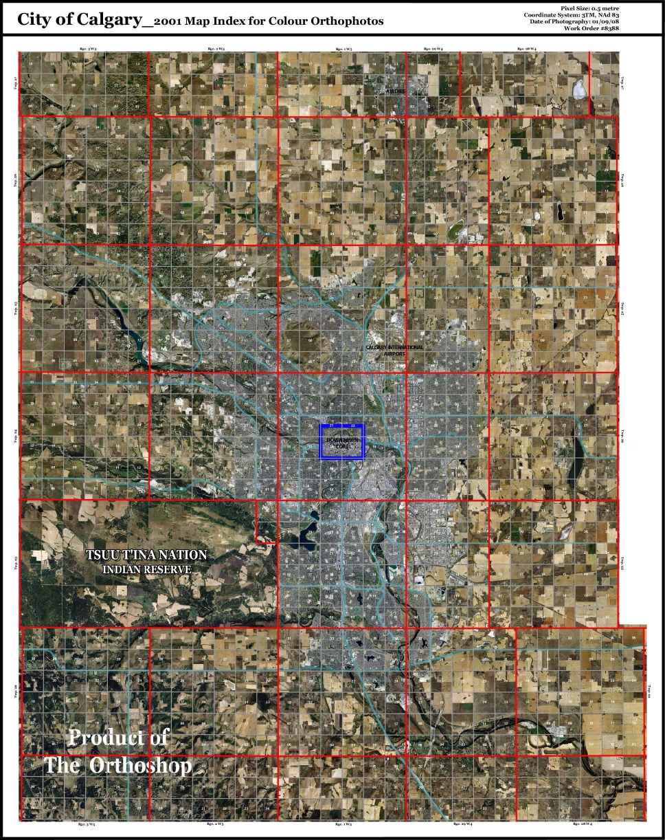
- 2001 - city and surrounding area, .5m download
- 1999 - colour, .5m download
- 1995 - grayscale, citywide, 0.15m
- 1979 - grayscale, citywide, 0.3m
- 1966 - grayscale, citywide, 0.25m
- 1962 - grayscale, citywide, 0.625m
- 1957 - grayscale, citywide, 1m
- 1953 - grayscale, citywide, 0.25m
- 1948 - grayscale, citywide, 0.5m
- 1924-26 - grayscale, citywide, 1m
Air Photo Search Tool to search the SANDS Air Photo Collection
Additional Air Photos
- Last Updated: Jul 18, 2024 11:47 AM
- URL: https://libguides.ucalgary.ca/guides/gis
- Print Page
Subjects: Geographic Information Systems, Geography